


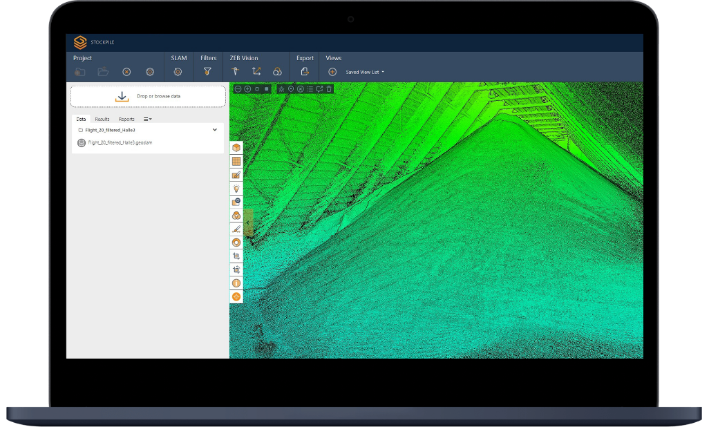


数据导入
将数据文件直接拖拽至Connect软件即可自动开始数据处理工作,也可以对数据集进行浏览和选择。


数据管理
数据文件可以根据用户的需求进行分类。按照时间,地点或者按照操作员的日常流程模式进行分组和处理


数据过滤
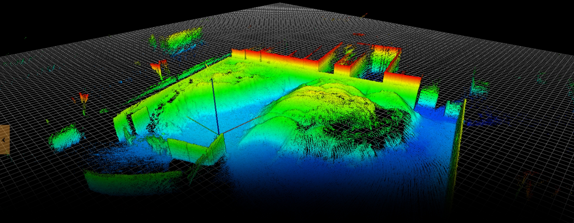
数据过滤工具,包括异常值去除、表面降噪、裁剪、平滑和数据细化,用于生成更清晰、更明确的点云。


全自动工作流程
日常的工作流程,例如导入数据,调整参数以及导出数据如今可以一键完成。简便用户的操作。
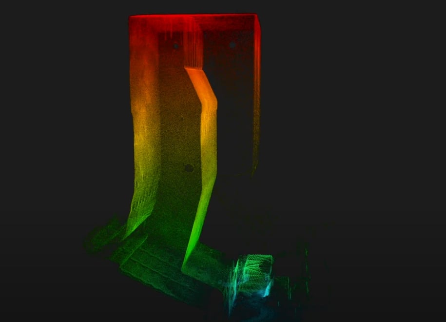
矿业
用于测绘和体积测量
适用区域:
- 采场
- 矿石通道
- 竖井
- 绘制点
- 通风系统
应用场景:
- 变形监测
- 岩体分类
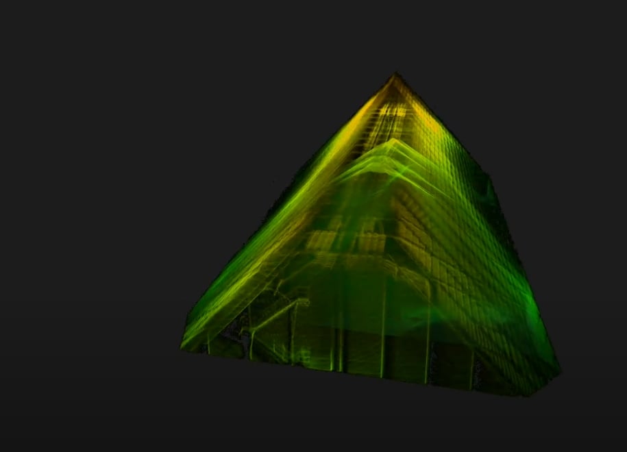
- 体积测量(用于估计库存)
- 确认回填量和高度
- 改进调度和回填设计,减少生产中断
- 快速识别采场剩余量
- 定位易坠落物体
- 堵塞物的厚度和体积测量
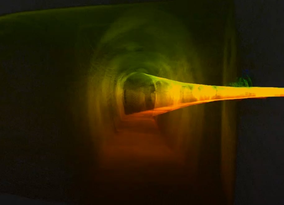
基建设施
用于测绘和地理对照
适用区域:
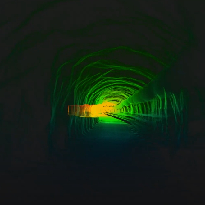
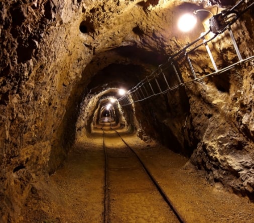
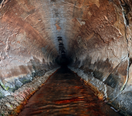
- 隧道
- 建筑物
- 生产工厂
- 施工场地
- 应急站点
- 仓库
- 洞穴
- 古迹
- 桥梁、管道、水坝、炼油厂等关键基础设施
应用场景:
- 对现有工作进行测绘和地理参考,以规划进一步的土木工程开发方向(通常为地下设施)。
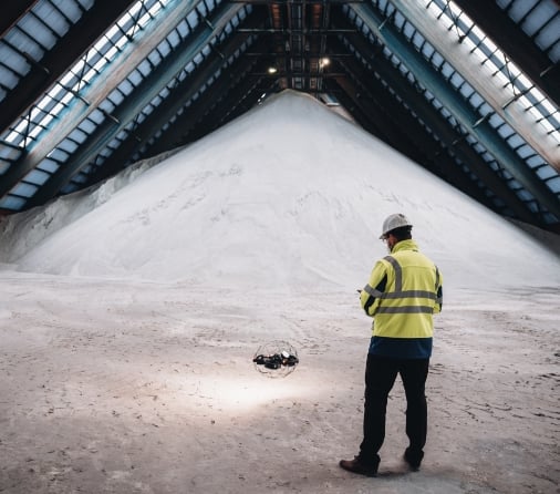
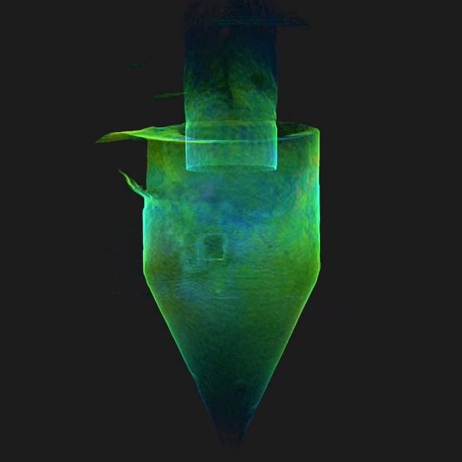
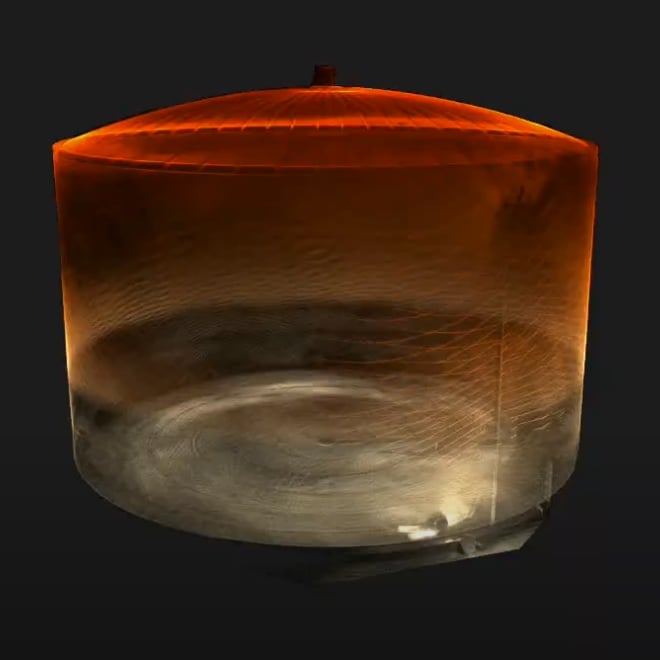
存储设施
用于检测容积和设施管理
适用区域:
- 仓桶
- 储罐
- 室内或地下储存设施
应用场景:
- 生产
- 选矿
- 后勤
- 端口
- 销售