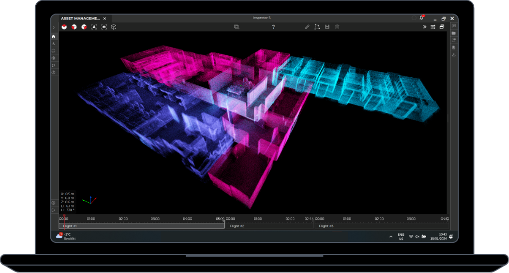
Building 3D models with Elios 2: Processing data with a photogrammetry software

Learn how to build your first photogrammetric 3D model using a dataset captured indoor with Elios 2.

Now that you know why one might want to use photogrammetry to build 3D models of indoor spaces and how to acquire appropriate data with Elios 2 to build 3D models, you are ready to process these data to build your first 3D model. In this blog post we will review how you can use Inspector to prepare your dataset to be processed with Pix4Dmapper or another photogrammetry processing software. We will then go step by step through the process to follow to build your first 3D model with Pix4Dmapper.

To follow this blog post you will need an Elios 2 dataset, Inspector, and Pix4Dmapper. If you don’t yet have the required hardware or pieces of software, here is how to download all the material:

Preparing the data with Inspector

The first step is to extract video frames and save them as images. Open your video in Inspector, and use the tool “Export frames as images” under the “Export” menu.

export-frames-inspector2

This tool allows to select the start and end point for the frame extraction, and the frequency at which frames will be extracted. The video being recorded with 30 frames per second (fps), you will get one frame per second if you choose “one image every 30 frames”. This is often a good frequency to start with. If you were flying at high speed, or if the images contain few visual features, you may decide to increase the number of images by choosing “one image every 15 frames” for example. But keep in mind that a higher number of images result in a longer processing time!

For Pix4D users, we provide two processing templates that will set all the recommended processing parameters for you. If you check the corresponding box, the template file will be saved next to your images.

  • Fast processing: recommended for datasets with a lot of visual features and generally high overlap. The images are downscaled for faster processing. The resulting point cloud has less points.
  • Robust processing: recommended for datasets with less visual features, or sub-optimal trajectory (low overlap). The matching strategies are more robust but the processing is longer. The images are kept at full resolution for the point cloud densification, resulting in a denser point cloud.


Processing with Pix4D

Camera model

When you create a new Pix4D project and add the video frames extracted by Inspector, the software will recognize them (via tags in the image exif) and automatically select the correct camera model, for 4K this is: Elios2_2.7_3840x2160

elios-2-camera-model

If you extracted the images with another tool than Inspector, they will not be recognized and you will have to manually select the camera model from a dropdown menu. Note that the Elios 2 camera model is available for the 4K and FHD video formats, and 12MP still format.

Processing options template

You can import a processing options template (.tmpl) following these instructions. To generate the template file from Inspector, simply select the corresponding checkbox in the Export frames window. After the importation, the template is saved in Pix4D and you can use it for further projects.

Processing multiple flights together

You can process image of several flights together in order to create larger models and localize all data on the same model. Projects with 2’000 images (about 4 flights with 1 image per second) are very well handled by Pix4D. The processing time depends on your hardware and the processing options (template) that you choose.

Remember that photogrammetry in a GPS denied environment relies solely on the visual information of the images. When processing several flights together, it is crucial that each flight contains images that are very similar to the images of other flights, so that the flights can be connected to each other. Read again how to acquire appropriate data with Elios 2 to build 3D models and in particular the last point on loop closure.

several-flights-together

Here, several flights enter the pipe system through the same pipe. In this way, the different flights are well connected.


Using another photogrammetry software

Using a different photogrammetry software is also possible, if it accepts images that are not geotagged (images with no localization information).

[Related read: What Is Simultaneous Localization and Mapping (SLAM)?]

Note that you may have to select a different camera model, with different parameters. Many photogrammetry software allow to specify an approximate value for the main camera parameters, and the software will optimize the model during the processing. If you follow such procedure, make sure that you use an easy dataset, to start with. It could be beneficial to record a video specifically for this purpose:

  • Outdoor, with good lighting conditions
  • Environment with many visual features
  • Flying several lines with high overlap

Bellow are the main characteristics of the Elios 2 camera:

General

Sensor ship size—7.564 mm (H)  x 5.476 mm (V)

Focal length—2.71 mm

Lens distortion—Fisheye

4K format

Image resolution—3840 x 2160

Active sensor size—5.952 mm (H) x 3.348 mm (V)

Pixel size—1.55 μm (H) x 1.55 μm (V)

FHD format

Image resolution—1920 x 1080

Active sensor size—5.952 mm (H) x 3.348 mm (V)

Pixel size—3.10 μm (H) x 3.10 μm (V)

Photo format

Image resolution—4000 x 3000

Active sensor size—6.323 mm (H) x 4.743 mm (V)

Pixel size—1.55 μm (H) x 1.55 μm (V)


The software may allow you to fine-tune some processing parameters, such as the image resolution or the matching strategy. Note that these parameters may have an important impact on the processing time and the quality of the result. Please refer to the documentation of your software.

Referencing the model and taking measurements

By default the 3D model will not have a correct scale and orientation. Since the images are not geotagged, it is required to provide ground control points and/or scale and orientation constraint if you want to scale, orient, and reference the project correctly. Scaling the project is mandatory if you want to take measurements. Giving the right orientation may help for visualisation, and referencing the model in a given coordinate system allows to display it together with other models and geodata.

This section assumes that you are using Pix4D, but the steps explained here are also found in other photogrammetry software.

After the first processing step (position and orientation of the cameras), you already get a quality report that indicates the number of images that could be calibrated. It also gives other indications on the quality of the results.

pix4d-quality-check

Extract from the quality report


By looking at the 3D view, you should recognize the shape of your asset. If a low number of images are calibrated, or if the model is obviously distorted or inconsistent, you may change the processing options for more robust parameters, and start again the first processing step. You can also decide to extract more images from the video (for example two frames per second - one every 15 frames) and start a new project.

incomplete-model

Pipes model after 1st processing step. Here we see that the end of one pipe has not been reconstructed


At this stage you can add:

  • Scale constraints. If you know the length of some objects that you can identify on images, you can use them to scale the project. Read this article to learn more about scale constraints in Pix4D.
  • Orientation constraints. If the model is not upright, it may be difficult to visualize it. Adding a single orientation constraint to define the vertical axis is often useful. You simply need to identify, on the model or in the images, two points that should form a vertical line, such as the corners of a room, a vertical weld along a wall, a vertical pipe, the frame of a door, etc. This article explains how to set an orientation constraint in Pix4D.
  • Ground control points (GCPs). To georeference your model in a given coordinate system, you need to add ground control points. These are points for which you know the precise 3D coordinates in your coordinate system. They are typically measured with a GPS or a total station. Learn more about GCPs in this excellent article made by Pix4D.

Once you added these elements, you need to reoptimize the project - a quick process that will recompute the positions of the images. Then, you can continue with Step 2 (point cloud densification and 3D mesh).

Note that Step 3 (DSM, Orthomosaic and Index) is only needed if you need these specific outputs.

scale-constraints

A scale constraint is placed between the two pipe entries. The distance (here 2100 mm) was obtained from blueprints.


Share the love

Photogrammetry is an amazing tool that allows inspectors and surveyor to create digital twins of nearly everything. We are really keen to see what you are able to produce by using the different tools presented in this article. Don’t hesitate to share your results by posting screenshots and fly through of your models on social media by tagging them using #elios2photogrammetry,  @flyabilty on LinkedIn and Facebook, or @fly_ability on Twitter. We will make sure to relay your amazing work to our network of followers by tagging you in return. If you are interested, you can also send us the pieces of work you are the most proud of and we’ll post it onto our blog and social media channels.

This article belongs to a serie about photogrammetry: 

Why use photogrammetry to build 3D models of indoor spaces? 

Mining drones: Elios 2 creates photogrammetric models

Building 3D models with Elios 2: how to acquire appropriate data for photogrammetry

Building 3d models with Elios 2: processing data with a photogrammetry software

Elios 2 Tested for Indoor Stockpile Volumetry, Produces 3D Maps Accurate to within 1 Centimeter

Table of contents

    SEE ALSO

    Articles

    Introduction Over the last few years, LiDAR data has quickly become one of the most reliable foundations for creating precise and accurate 3D models.

    Articles

    Our webinar with GeoSLAM had so many questions that we couldn't answer all of them live. Here are the answers to those questions we didn't get to during […]

    Articles

    Results suggest that the global accuracy of Elios 3’s point clouds when processed with GeoSLAM Connect compare well against a traditional TLS and reach a […]

    Articles LiDAR

    Results suggest that the precision and local accuracy of Elios 3’s point clouds when processed with GeoSLAM Connect compare well against a traditional TLS […]

    Articles LiDAR

    LiDAR data collected by drone in confined spaces is helping inspectors revolutionize the way they work—here are seven key benefits they're realizing.

    Articles Nuclear

    The Idaho Environmental Coalition under contract with the Department of Energy exposed the Elios 3 to 10,000 R/h of radiation. Here’s what happened.

    Articles Nuclear

    The Idaho Environmental Coalition (IEC) under contract with the Department of Energy needed a way to create 3D maps inside a radioactive waste storage […]

    Articles Mining

    The ability to 3D map confined spaces with the Elios 3 is changing the way inspectors work—here are several examples from the field illustrating real uses.

    Articles

    The first time I saw the Elios 3 fly was in the deepest mine in the world.

    Articles Cement

    Holcim Ltd. is the global leader in building materials, from cement, concrete, and aggregates, to roofing materials.With the global headquarters in Zug, […]

    Articles Intrinsically Safe Oil & Gas

    The ATEX directives are a pair of directives from the European Committee for Standardization created to protect people from ATmosphères […]

    Articles

    Remote visual inspections are leading the way toward safer, more efficient, and more cost-effective inspections. In addition to being required by […]

    Articles Intrinsically Safe Oil & Gas

    If the term “intrinsically safe” (IS) is new to you, it’s important to understand how it relates to devices used in hazardous locations and classified […]

    Articles Nuclear

    For years, robots have been helping nuclear personnel meet ALARA requirements by reducing exposure to radiation—here's how indoor drones can help.

    Articles Power Generation Nuclear

    Professionals in the power generation industry are using indoor drones in a variety of ways—read this article to get the details.

    Articles Pharmaceuticals

    Professionals in the pharmaceuticals industry are using indoor drones in a variety of ways—read this article to get the details.

    Articles Chemicals

    Professionals in the chemicals industry are using indoor drones in a variety of ways—read this article to get the details.

    Articles Oil & Gas

    Professionals in the oil and gas industry are using indoor drones in a variety of ways—read this article to get the details.

    Articles Chemicals

    Drones present several benefits as a tool for remote visual data collection in internal inspections for the chemicals industry—here's our list of the top […]

    Articles Pharmaceuticals

    Drones present several benefits as a tool for remote visual data collection in internal inspections for the pharmaceutical industry—here's our list of the […]