FLyability + FARO logo

Elios 3 Surveying Payload

Surveying
the inaccessible

Safely create centimeter accurate scans of hard-to-reach areas, with the Elios 3 Surveying Payload, the next revolution in 3D data capture by Flyability.

Contact Us

E3 payload image mobile
elios-3-surveying-playload-ebook-1

Assessing the Global Accuracy of the Elios 3 Surveying Payload

Download our free accuracy report that measures and analyzes the accuracy of the new Elios 3 LiDAR payload in several different environments. Use this resource to evaluate if the Surveying Payload suits your use cases.

Get your free PDF

Bridge data gaps in challenging environments

Comprehensive data is key to supporting operational decisions. Yet many hazardous environments are beyond the reach of existing data capture technologies.

Flyability's Surveying Payload turns the Elios 3 into a flying mobile scanner that can fit through openings as small as 50x50cm, and create high resolution scans beyond line of sight, allowing industry professionals to provide rapid insights that are not accessible with traditional tools or other UAV technologies.

Survey-grade-accuracy-icon

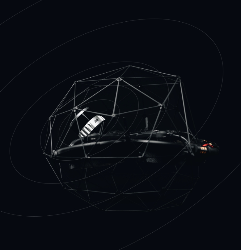
Survey-grade accuracy

The high resolution Ouster OS0-128 Rev 7 LiDAR sensor in combination with the world's leading FARO Connect SLAM algorithm create incredibly accurate 3D maps and digital twins of the most inaccessible spaces with centimeter precision - for accurate measurements and greater insights.

Accuracy

From 0.1%
drift

Download accuracy report   Arrow_ticket

Survey grade accuracy image mobile

New mapping capabilities

Powered by the latest Ouster REV 7’s supercharged L3 chip, the Elios 3 has the ability to capture points further apart and to detect more usable visual features. This maximizes the chance for the SLAM algorithm to converge when computing 3D models of cylindrical and symmetrical environments such as collectors, chimneys, culverts, or underground galleries.

Download accuracy report   arrow-orange

*Accuracy may vary depending on the geometry of the mapping environment. Read our detailed accuracy report to further assess the technology fit for your use case.

payload_visual_pc_tunnel copy mobile
 

stunning-point-clouds-icon

Stunning point clouds

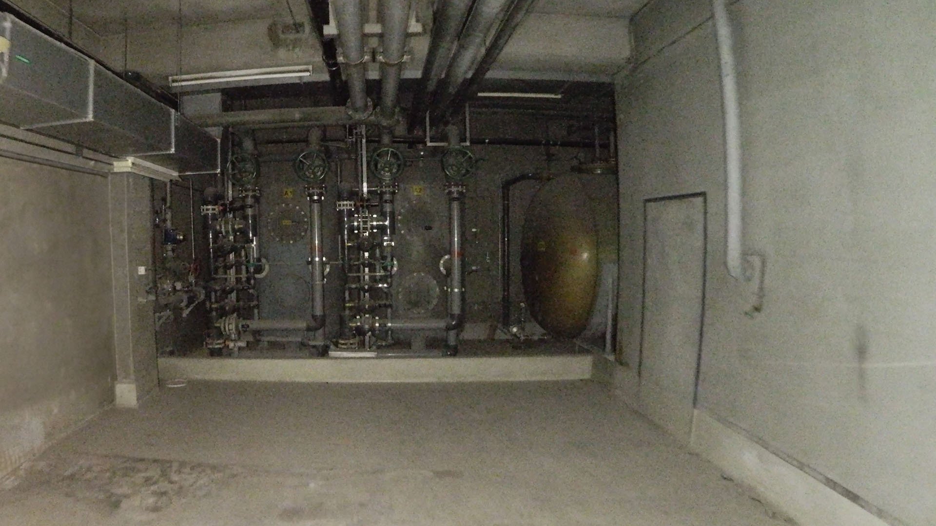
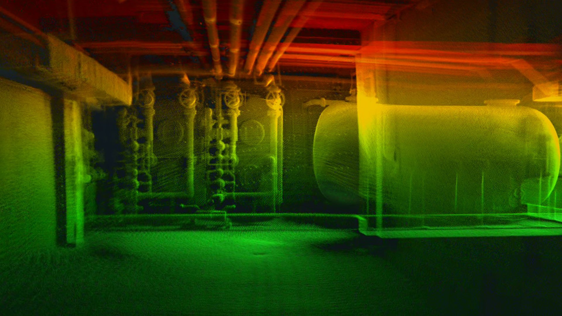
Capture rich, detailed point clouds of the most complex indoors, operating from a safe location. With Elios 3’s Surveying Payload you can effortlessly create comprehensive visual representations of challenging indoor spaces, allowing for precise mapping and analysis.

20231008_Real_Image_vs_PointCloud_01 20231008_Real_Image_vs_PointCloud_02

Precision 1σ

+/- 6 mm

Precision 2σ

+/- 12 mm

Photo Sensitivity

10 x


Uplifted-mapping-efficiency-icon

Uplifted mapping efficiency

For all applications where centimeter accuracy matters, mobile scanning is far more effective than traditional methods such as total stations or terrestrial scanners. With a range of 100 meters, a point density of 1,310,720 pts/sec and a capacity to cover a 300 meters tunnel (close loop) in a single flight, the Elios 3 Surveying Payload can turn days of mapping into a 10-minute job.

Range

Up to 100 m

Scanning rate

1,3 M pts / sec


mapping-efficiency-arrow

- Surveying of a 340 m tunnel in an underground mine -
undersea mine graphics-ts

Terrestrial scan

Time: 18 minutes, Coverage: 15%

undersea mine graphic-rev6

Elios 3 standard LiDAR configuration

Time: 18 minutes, Coverage: 50%

undersea mine graphics-rev7

Elios 3 Surveying Payload

Time: 18 minutes, Coverage: 100%

drone-icon

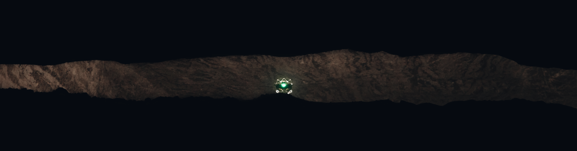
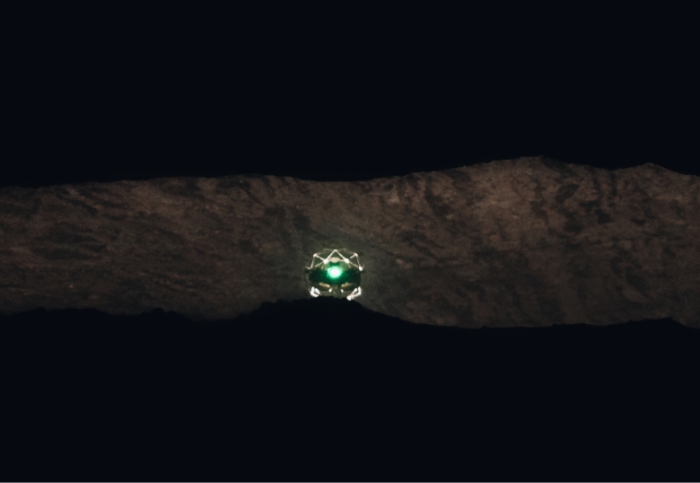
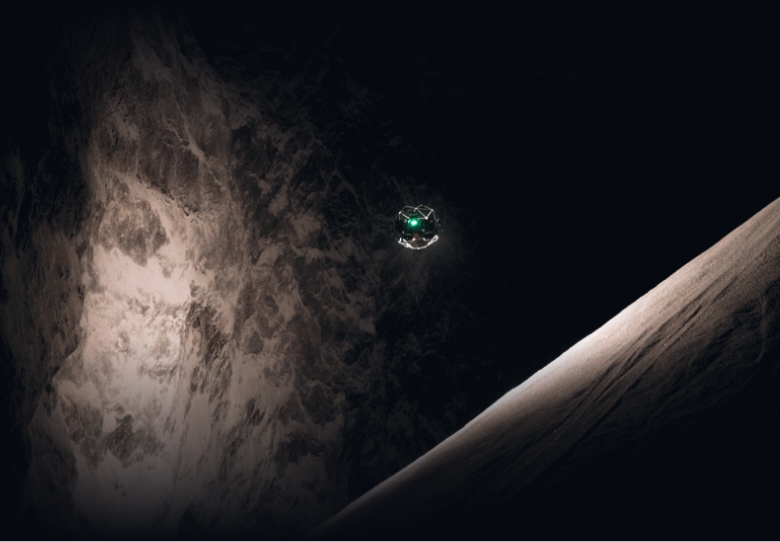
Scanning beyond safe access

scanning beyond safe acces image mobile

With its small form factor, the Elios 3 and the Surveying Payload can fit through openings as small as 50x50cm. It has a fixed cage that physically protects the hardware and a patented combination of flight controller and motor design that allows the drone to recover flight stability after a collision. This enables the drone to navigate through the most complex environments to capture high resolution scans where no other technology can.

Learn more about Elios 3   arrow-green


Software

Create clean, georeferenced point
clouds automatically

The Elios 3 Surveying Payload is bundled with FARO Connect, a powerful software solution to process and manage the Elios 3’s LiDAR data. Powered by the world’s leading SLAM algorithm, FARO Connect converts data from the Elios 3 into highly accurate point clouds and provides a range of SLAM presets, optimized for the most common data capture scenarios of the Elios 3. Features include:

Data alignment

Combine multiple point clouds to produce one single scan using reflective targets.

Georeferencing

Automatically georeference point clouds using reflective targets.

Point cloud filtering

Refine Elios 3 3D models with various filters including outlier removal, surface noise reduction, and removal of unwanted points.

Easy export

Output the processed point cloud data to your required file type: LAZ, LAS, PLY, TXT, and E57.
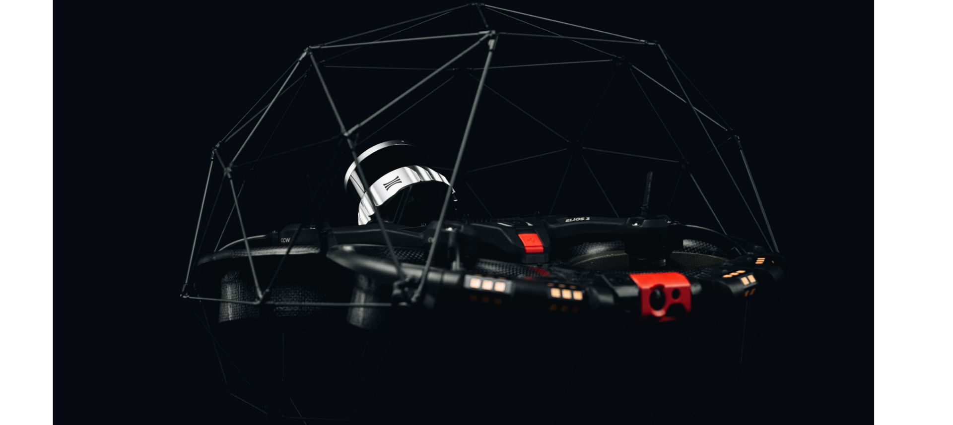
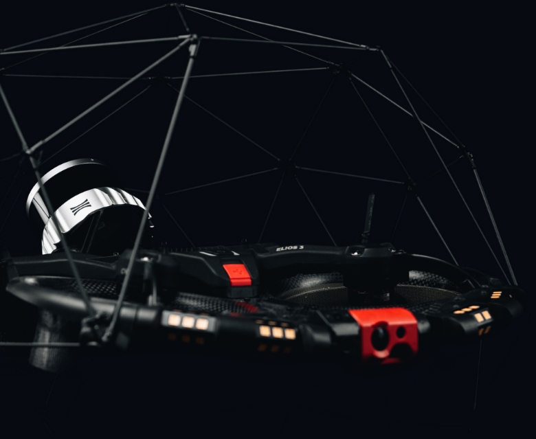
SURVEYING PACKAGE

A one-stop solution

To get you started, the Surveying Payload comes as a comprehensive package, which includes:

checkmark circle

The hardware

The surveying payload comes as a package with the Elios 3 drone or as a standalone payload for existing Elios 3 users.

checkmark circle

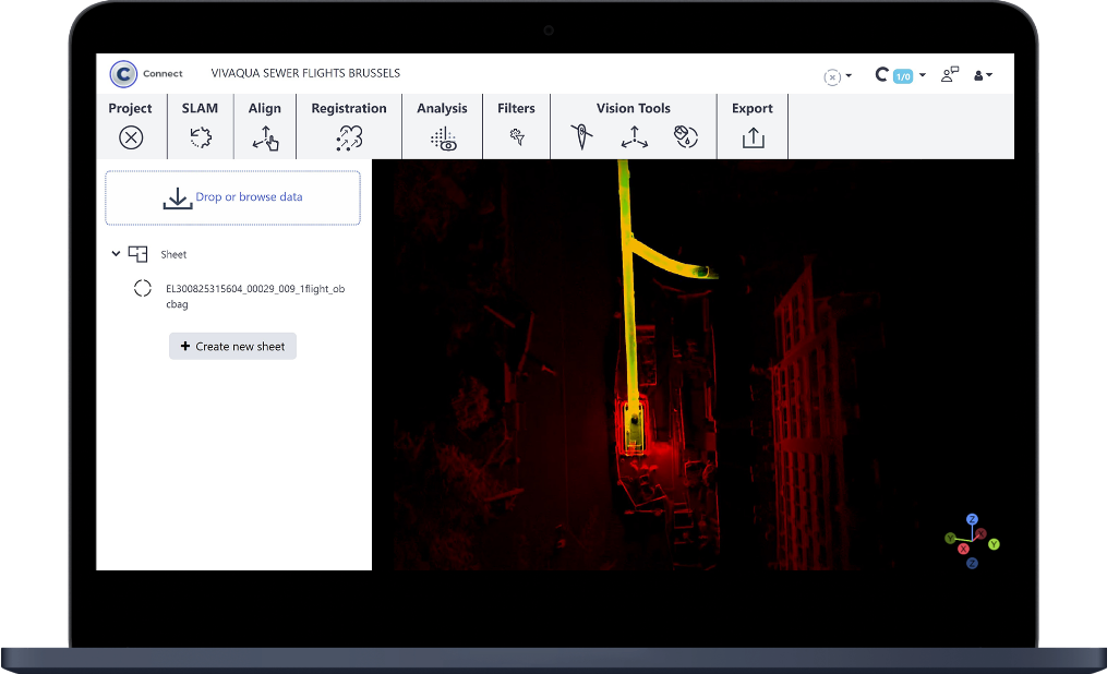
The FARO Connect software

This software is meant to ease the processing and management of Elios 3's LiDAR data.

checkmark circle

A set of reflective targets

Perfectly sized for FARO Connect to automatically detect in the SLAM registration workflow.

checkmark circle

An in-depth training course

Covering everything from best flight practices to processing and registration.

This package is designed to maximize your field experience and accelerate your operational proficiency.

E3 image E3 image mobile

Elios 3 LiDAR configurations

The Elios 3 offers 2 LiDAR configurations. To help you determine if the Surveying Payload is right for you, you can refer to the table below, showing a concise overview of the key disparities between the two configurations.

Datapoint

Elios 3 & FlyAware

Elios 3 Surveying & FARO Connect

When localizing inspection data matters

When the 3D model matters

Range

1x
Up to 50m @ 80% reflectivity
Up to 15m @10% reflectivity

2x - 2.3x
Up to 100m 80% reflectivity
Up to 35m at 10% reflectivity

Precision (2 sigmas)

1x
+/- 1.8 cm

1.5x
+/- 1.2 cm

Accuracy

Some artifacts, like “wall collapses” or “double walls”

No artifacts as long as mapping guidelines are followed

in structured environments

1x
0.5-1% drift

5-10x
~0.1-0.2% drift

in nominal symmetric environments (>2m diameter, enough geometrical features)

1x
~2% drift

5-10x
~0.25-0.5% drift

in challenging symmetric environments (>2m diameter, little geometrical features)

1x
2-5% drift

2-5x
0.5-2% drift

in very challenging symmetric environments (<2m diameter, enough geometrical features)

1x
5+% drift

1-2x
2-5% drift

Points / sec

1x
~50k

25x
~1.3M

Light sensitivity

1x

10x

Mapping algorithm

Real-time SLAM focused on robustness, running on drone

Post-processing SLAM, focused on high accuracy, on desktop PC

Desktop software

Inspector (for reporting and data localization)

Inspector + FARO Connect (for georeferencing, 3D manip., etc)

Flight time, max altitude

9’ 30”, 3’000m AMSL

9’ 00”, 2’700m AMSL

*FlyAware is Flyability’s SLAM engine, used in both Elios 3’s piloting app and Inspector 4.0
**FARO Connect is FARO’s 3D mapping software designed for the seamless processing and management of Elios 3’s LiDAR data.

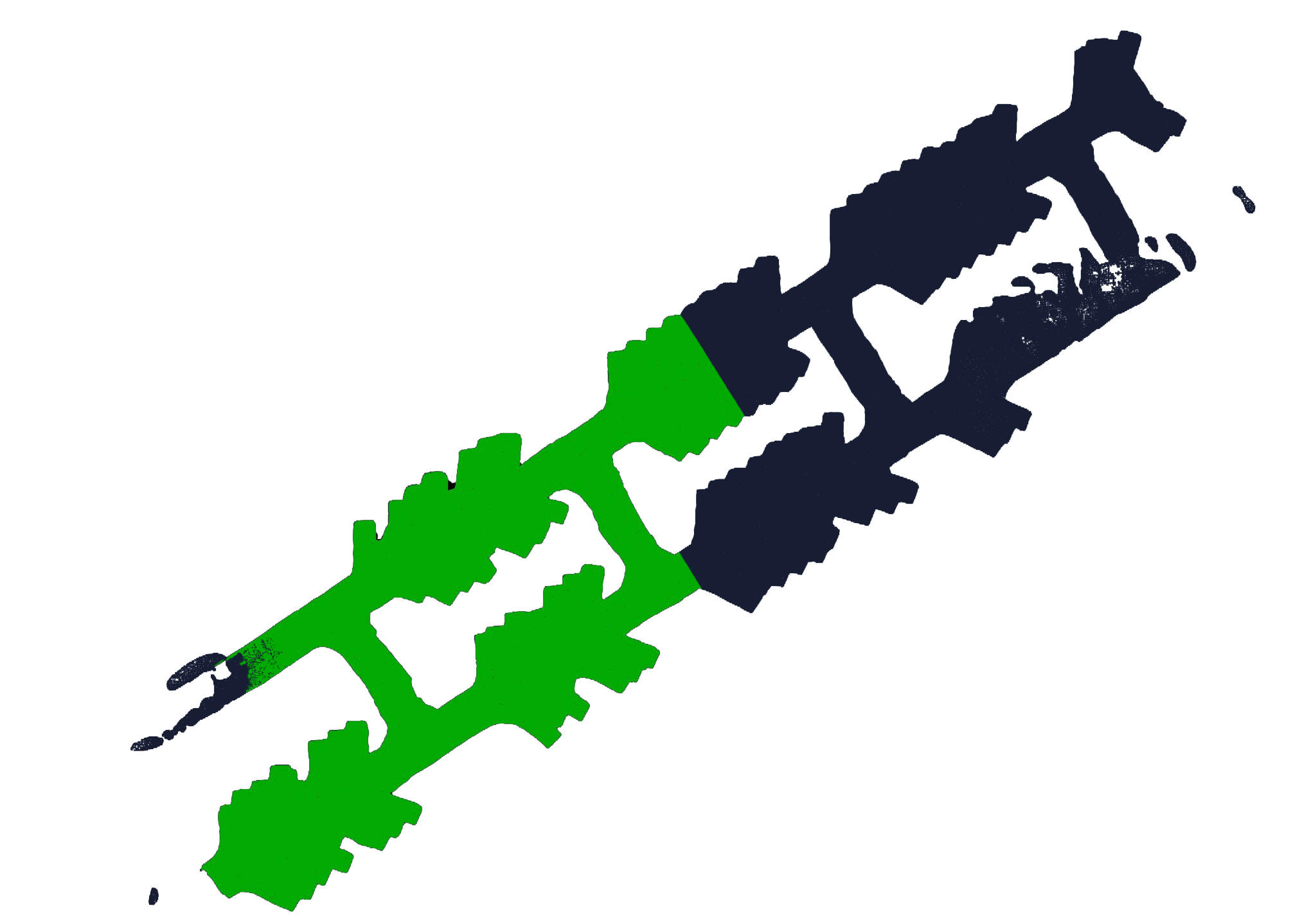
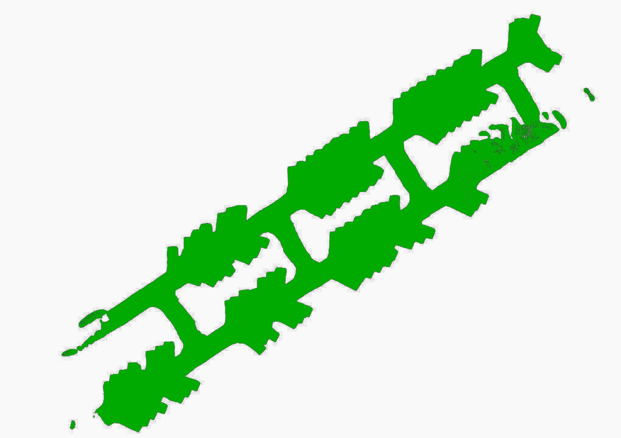
The Standard vs Surveying Configurations   arrow-green

Mining - 2 copy Mining 2 - mobile
Mining-image-v02 Mining image 3 mobile

Testimonials

What our customers say about Elios 3 Surveying Payload

“The Elios 3 Surveying Payload is a game changer for our operations. It is a tool that we can depend on to capture accurate data day in and day out. We are very impressed!”

Simon Pollitt, Chief Surveyor, ICL Boulby

Book a demo

Assess the impact of our drone technologies on your surveying activities

Book a POC

Mask-Group-3