- Case Studies >
- Investigating a collapsed tunnel after a landslide in the...
Investigating a collapsed tunnel after a landslide in the Swiss Alps
A road tunnel was hit by a landslide in the Swiss Alps, cutting off access to a village and disrupting the local ski village. The Elios 3 helped investigate the collapsed tunnel and plan a safe response to the incident.
Benefits In A Nutshell
|
Safety The unstable nature of the tunnel meant safe entry was impossible, so the local authorities used the Elios 3 to get situational awareness. |
Efficiency The Elios 3 was deployed quickly and captured LiDAR and visual data simultaneously, which was used for investigating the problem and planning a response. |
|
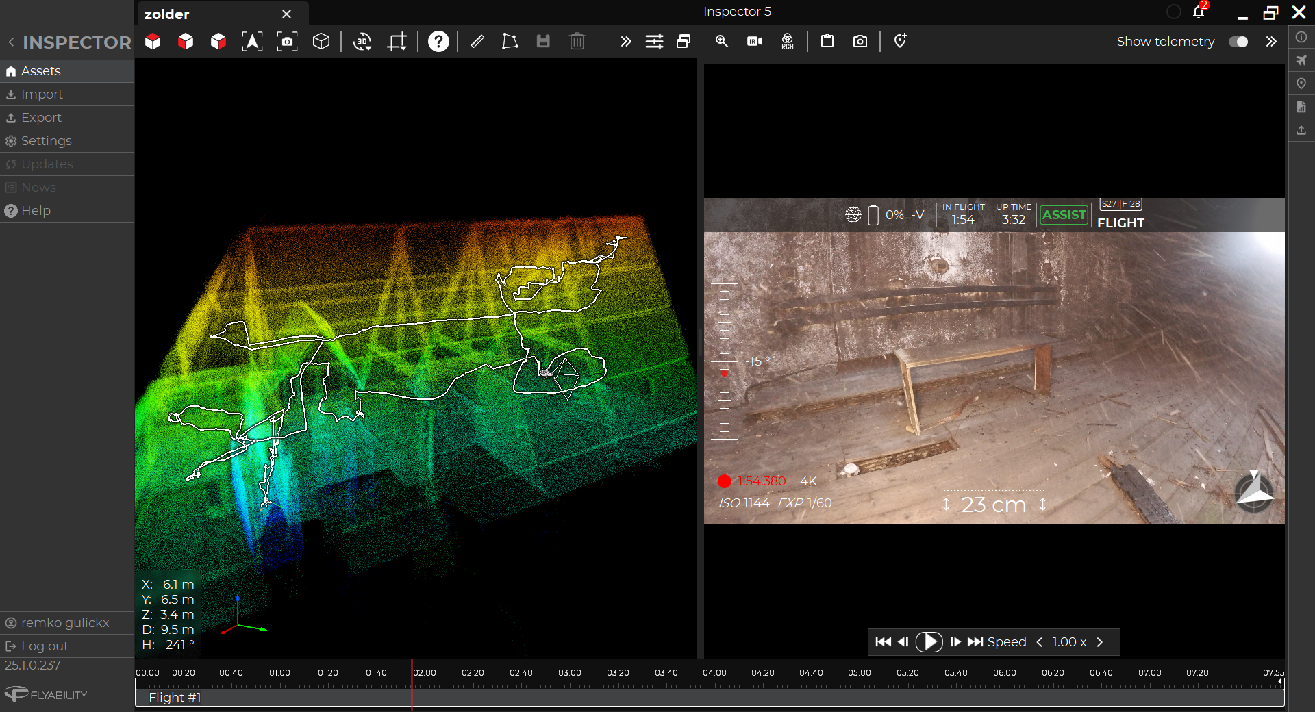
Analysis Having the point cloud datasets from the Elios 3's LiDAR scan meant the authorities could get a clear visualization of the tunnel inside and out, including where the landslide had come in and its path. |
Speed Thanks to the fast response, the repair work began quickly and the tunnel was reopened in June of the same year, minimizing disruption to local traffic ahead of the summer season. |
Landslides occur every day around the world with varying degrees of extremity. They can be caused by the shape of a mountain face and exacerbated by human activities such as deforestation, construction, and unfortunately, climate change. Switzerland often sees higher numbers of landslides in early spring, when the changing weather can make it easier for material to become dislodged and suddenly move, causing a cascade of consequences.
A landslide in the Swiss Alps
On the night of February 3rd, 2024, several landslides came down in the valley around Riddes, Switzerland. One road tunnel between Riddes and La Tzoumaz partially collapsed, reducing access between villages and cutting off parts of a popular ski resort. Every day that the tunnel was closed would cause difficulties to local residents and tourists as they took prolonged detours to reach their destinations. Determining how long the tunnel would stay closed would help update those affected on how long the disruption would last.
 The interior of the tunnel was covered in debris. Image credit: Canton Valais
However, access to the tunnel would be very difficult, with high levels of danger to investigators. However, it was vital to get information about the situation as quickly as possible to determine how to repair the tunnel and what next steps needed to be taken.
Deep in the heart of the Alps, the investigators from the local authorities turned to innovative solutions to find their answers.
Planning a landslide investigation with drones
The landslide took place in the canton of Valais. The local authorities needed to determine the cause of the landslide and how it had damaged the road tunnel, as well as why the tunnel had been so severely affected. A full investigation would provide them with information about why this had happened and improve methods of predicting and mitigating the impact of future landslide events.
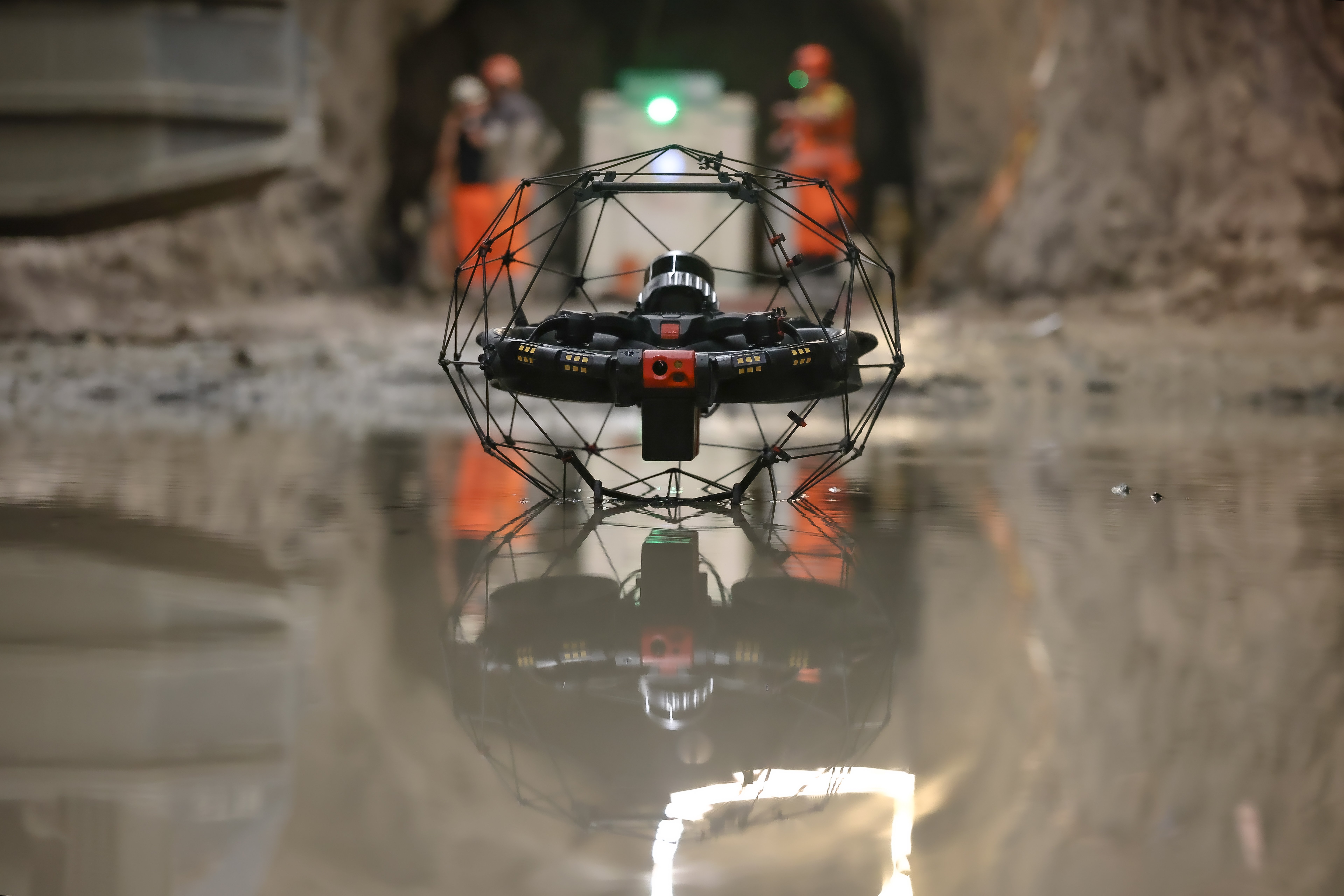
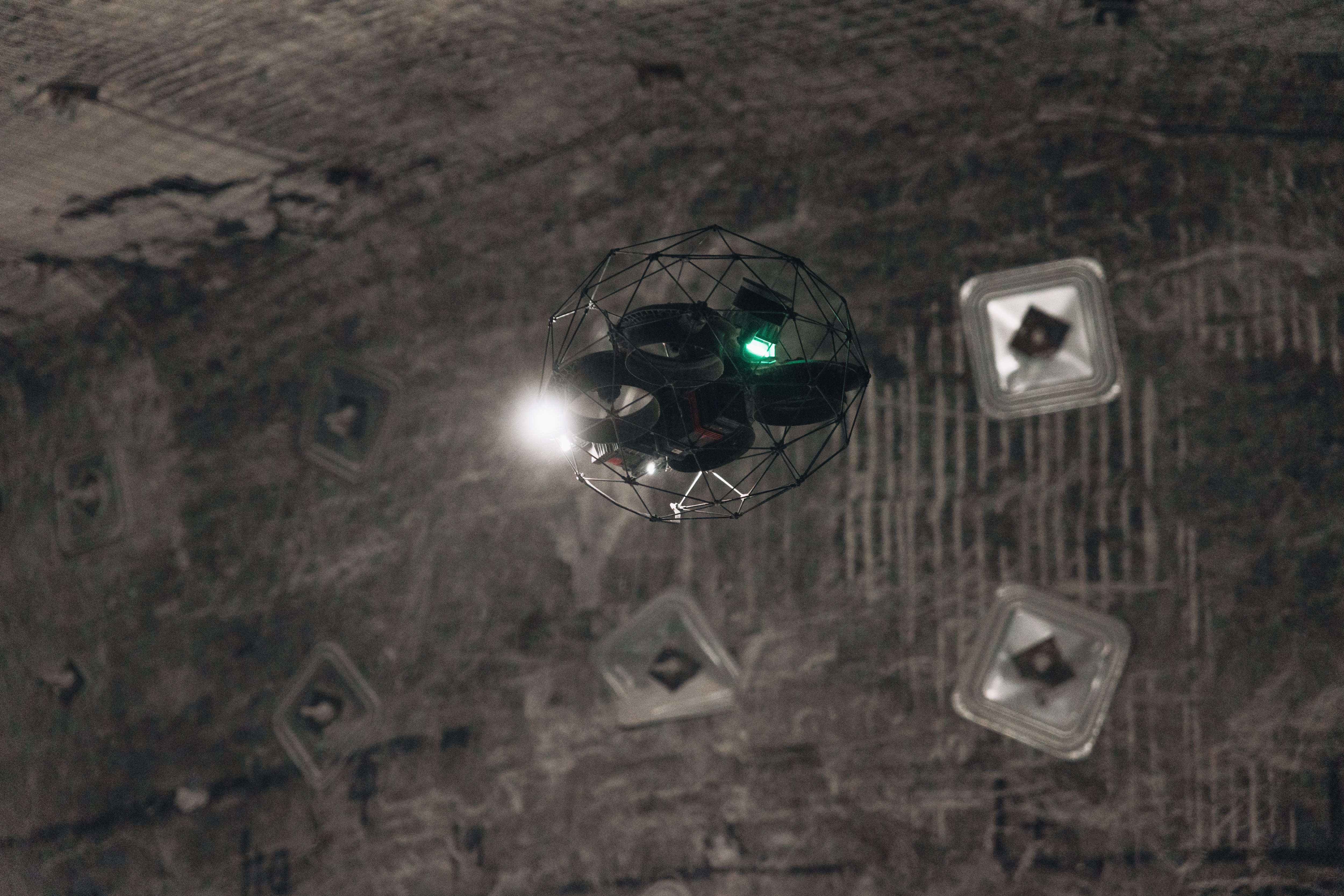
Due to the instability of the site, it was not possible to enter the tunnel to gather data. A remote survey was the only option that could get results quickly enough, and so the Valais authorities turned to using the Elios 3 drone with its Surveying Payload to assist their investigations. They aimed to gather photos, videos, and a LiDAR point cloud of the tunnel to get a full picture of the conditions in the tunnel and the potential cause of the collapse. Afterward, the results could be used to plan repair work as well as inform research into similar natural disasters.
This project was taken on by the Department de la Mobilité du Territoire et de l’Envrionment, a sector of the Valais state authorities. As the infrastructure is owned by the Valais canton, there were no external parties involved in the investigation stage.
Flying a drone in a collapsed tunnel
The road tunnel has been present for several decades, and its design is believed to be part of why it collapsed. Within the tunnel’s outer wall, there was a small window allowing in natural light which was created during construction. The window seems to have had no technical purpose (such as an evacuation point), but instead simply allowed in light and air. It was likely causing problems for the overall structure’s integrity.
Arriving within 24 hours of the incident, the drone pilot from the Valais authorities set about planning the mission. The rock around the window and its surroundings quickly became the focus of the investigation. Several flights took place with the Elios 3 to gather data.

The visual feed from the Elios 3 showed how the landslide had made the roof of the tunnel collapse and give way
The first flights were aimed at determining the layout of rocks, the damage to the tunnel, and general situational information that could be used to plan the clearance of the space to reopen the wall. The principal data being collected here was LiDAR surveys.
Additional flights were used to investigate the window and how it may have weakened the tunnel, making it vulnerable to such a disaster. The focus in these flights was gathering detailed photos and videos for analysis.
Findings from drone surveys in the collapsed tunnel
The images captured with the Elios 3 exposed the reality of the situation - and how this accident had been building up over time. When the tunnel was originally constructed in the 1960s, the window had been left open. This cold air flow allowed the effect of freeze-thaw weathering (where water freezes and expands inside the rock, causing cracks and faults over time) to intensify inside the tunnel. In addition, the window was causing a structural weakness just by being there with damage to the longitudinal and transverse forces on the gap.
It is also believed by investigators that during the initial excavation of this tunnel explosives were used. This can cause decompression in the rock mass and in this case, likely weaken the walls on the outer side of the tunnel exposed to the open air.

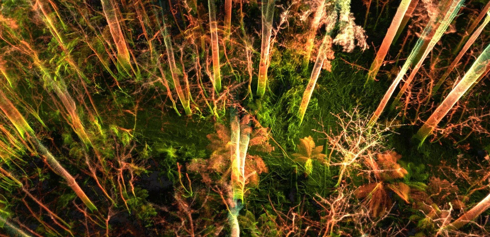
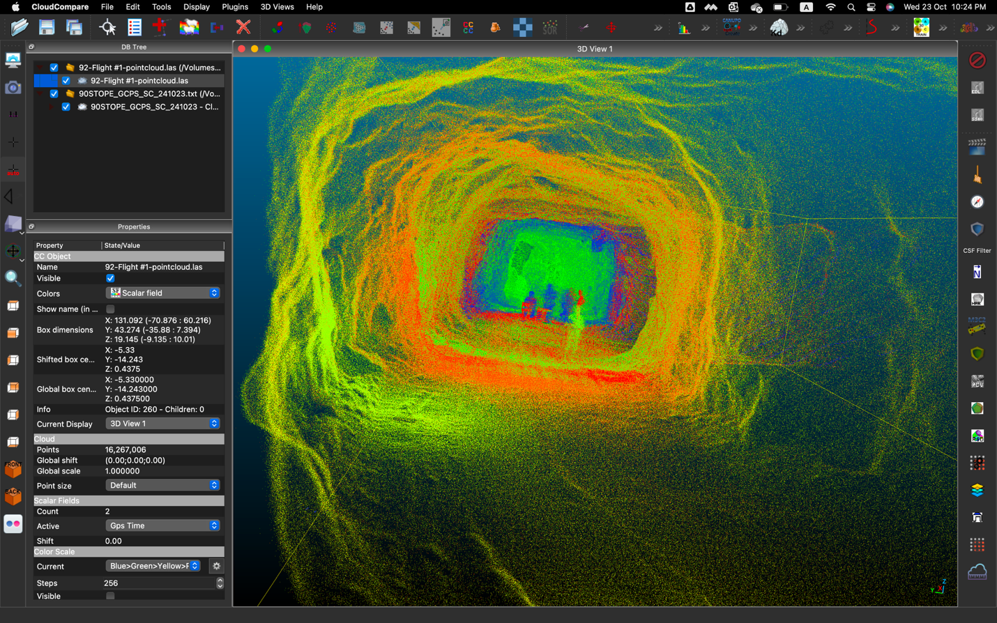
Clear visualization: the LiDAR scan clearly shows the layout of the collapsed tunnel section and where the rocks came through
Over the years, the rock around the window will have developed faults that were gradually weakened by weathering, traffic vibrations, and minor seismic events taking place since the 1960s. The rock grew weaker after 60 years - in fact, there were some signs of instability in late 2023. In December 2023, there was a small rockfall that affected the tunnel and wall outside the window, with a second event in the same month. This will have reduced the thickness of the rock pillar separating the tunnel from the surface, creating a reduced vault effect where stability was consistently weakened.
The impact of drones in emergency response
Without the Elios 3 in this case it would have been incredibly difficult to access and investigate the accident. Sending people inside was not an option, so it would have required teams to secure the landslide area to ensure no potential movement before any data collection could take place. This would in turn slow down the recovery efforts, prolonging the limited access to the tunnel and villages beyond it.
The fly-through of the LiDAR scan shows the full extent of the damage
The impact of using the Elios drone here cannot be understated. Investigators were able to enter the affected tunnel the day after the incident, getting a fast response. In the past, a landslide could take several days to months to fully secure before investigators could approach. The remote access with drones saved hours of work and called for a much smaller team to be involved, getting information quickly.
By relying on innovative technology that focuses on safety, the Valais authorities were able to rapidly gather critical data while ensuring all investigators were safe. The geological findings are going to be used as part of repair work at this tunnel as well as future investigations around the Valais - and this is vitally important as changing climates increase the chances of unpredictable geological events.


-Jan-16-2026-10-59-56-8006-AM.png)
.jpg)
.png)
