- Case Studies >
- Drone Scan to BIM: the Elios 3 digitizes a cement plant
Drone Scan to BIM: the Elios 3 digitizes a cement plant
|
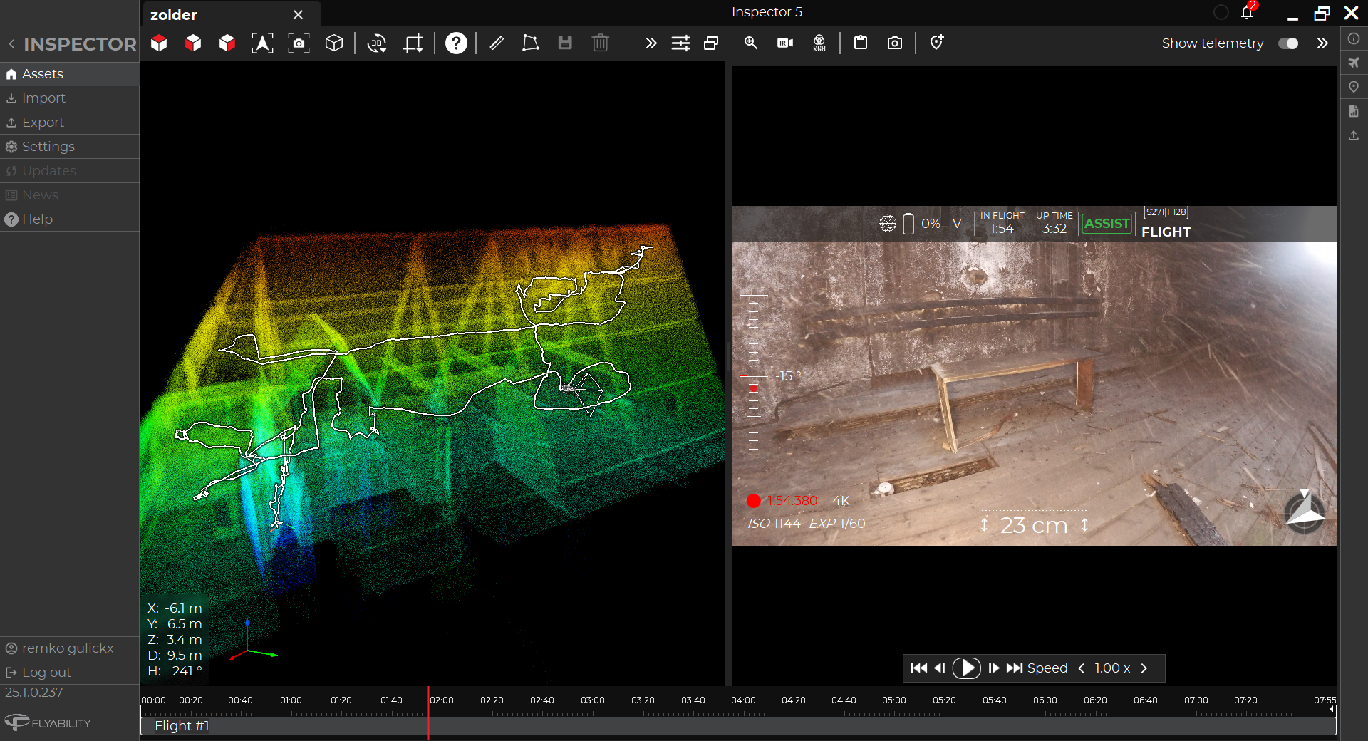
A cement plant in France used the Elios 3 drone for a scan to BIM project, digitizing the entire site with the LiDAR scanner. |
Benefits In A Nutshell
|
DATA COVERAGE The Elios 3 provided full scans of the inside and outside of assets, leaving no gaps. This level of coverage is not typically achievable with terrestrial laser scans. It’s also easy to repeat the process, updating the model with fresh data as needed. |
SPEED Using the Elios 3 instead of a terrestrial laser scanner massively reduced work, going from at least 10 days of scanning to just 1 day with the drone. |
|
SITE MANAGEMENT Disruption from scanning was minimalized - instead of needing to have contractors on site for a week, the drone just needed 1 day to fly, reducing the impact on the flow of work. |
REDUCED COST The faster data collection and simple post-processing for the scans mean the overall process is cheaper, and done in-house rather than relying on external contractors. |
BIM in the cement industry
Holcim, one of the world’s largest cement producers, is committed to a major project called Plants of Tomorrow. With this initiative, Holcim aims to roll out Industry 4.0 technologies in the building materials industry - including BIM. This project brings together modernizing plant management and development, decarbonizing construction projects, and strengthening performance.
Part of the Plants of Tomorrow project includes digitizing assets and production sites. At a location in France, there was a project to create a digital twin of an entire cement plant. The data from this model would be used to plan how the cement site could contribute to the Plants of Tomorrow project. A digital version of the plant would optimize efficient planning, streamline communication, and improve collaboration with contractors. All of this would help the site adhere to the Plants of Tomorrow project - and record actions taken to reduce its carbon footprint. This data could potentially also be used to apply for grants with European commissions alongside its benefits within the parent organization.
Using the Elios 3 drone for Scan to BIM
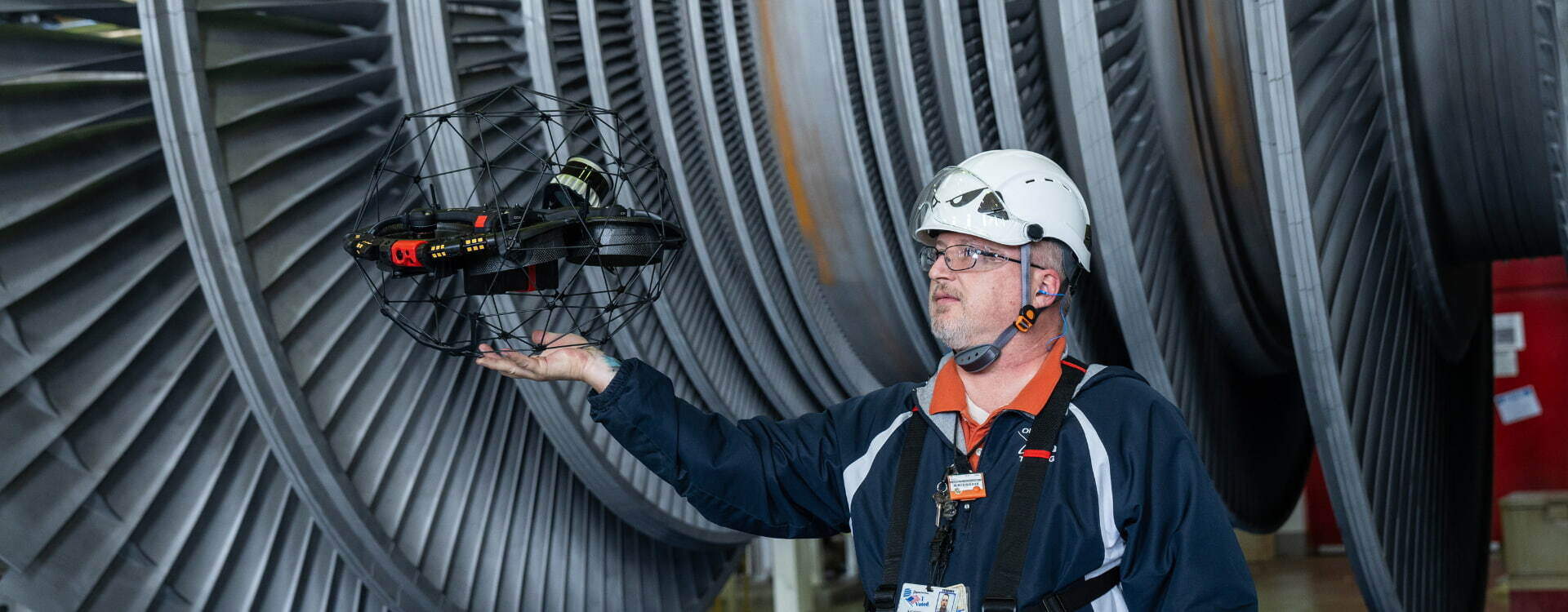
The Elios 3 drone is already in use at this particular plant, with applications including inspecting assets and helping track stockpile levels. The trained pilots on site know the safety benefits of working with the Elios, and are confident in the accuracy of its results, which is why they wanted to use it for the scan to BIM project.
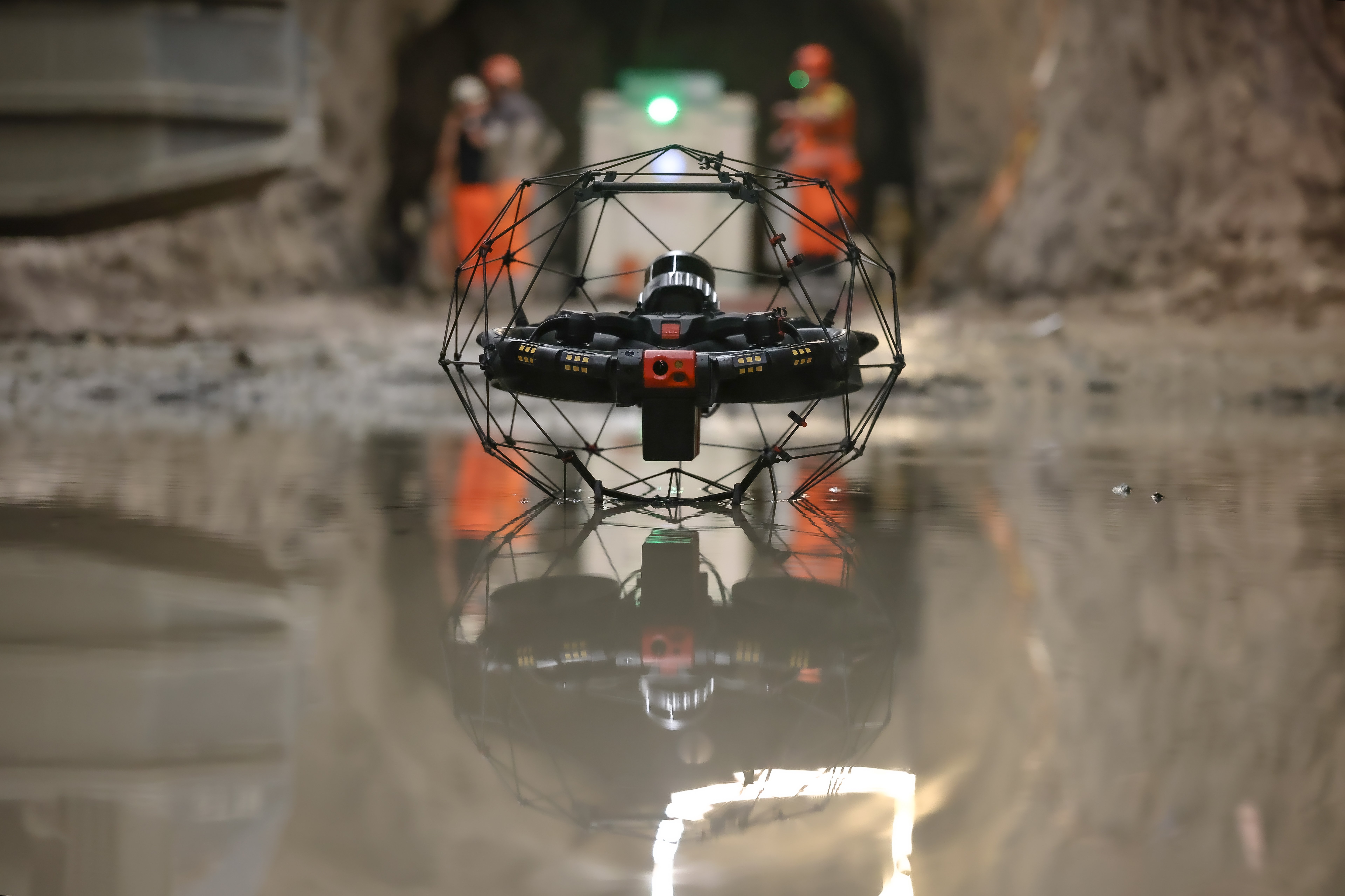
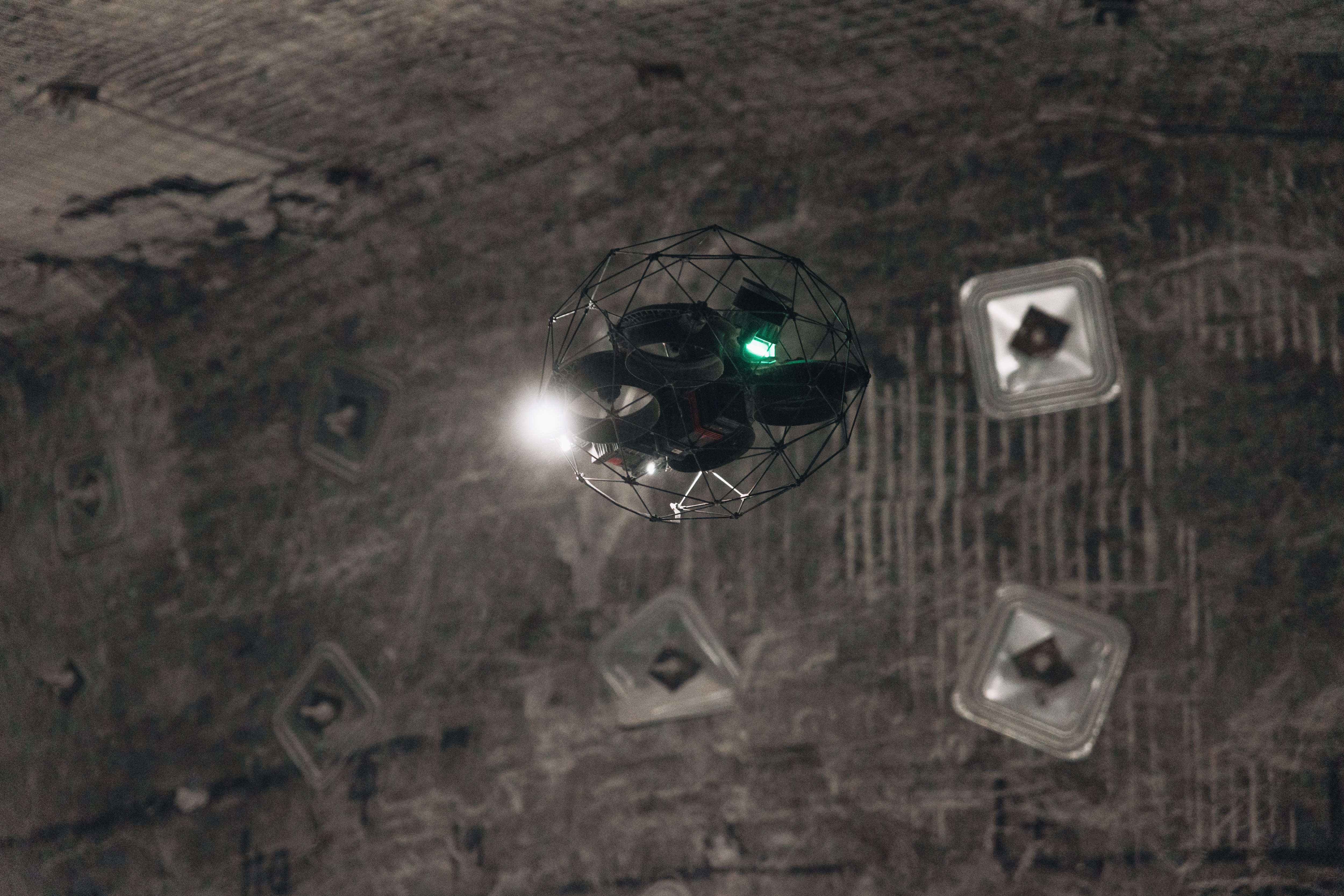
A laser scan with the Elios 3 makes it possible to get in between pipes and ducts to get a full scan of the environment ahead of post-processing
For the BIM project, the plant managers wanted to digitize the entire site including the spaces between ducts and pipes which can be challenging to access. They are winding between each other from the ground level up to tens of meters off the ground, making it difficult to get clear visualizations of the layout from a terrestrial level. Doing this with traditional means would likely take at least 10 days of scanning and could cost the plant a minimum of 30,000 Euros for hiring a contractor. The process can also be slowed down if the initial scans do not gather enough data, as this can only be verified when the data is being processed. This then requires contractors to return to the site to gather subsequent data, slowing down the time until results can be seen.

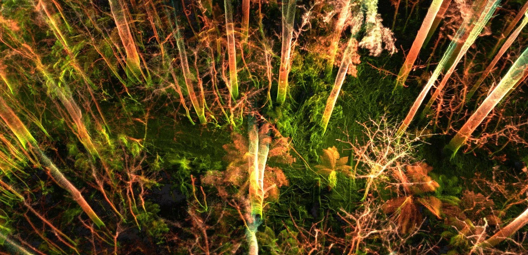
On the left, a TLS scan with a LiDAR tripod taking 3-4 days with 2 people, compared to a scan captured with the Elios 3 on the right.
Doing the project with the in-house Elios 3 team would mean that site operators would be the ones taking the scans, using their familiarity with the site and in-house processing skills to get the results far more quickly. This also reduces the chances of missing data/minimizes the impact of this, as scans can be done quickly by trained pilots on-site without having to coordinate specific times for visitors to come and take the scans.
Flying the Elios 3 for BIM data collection
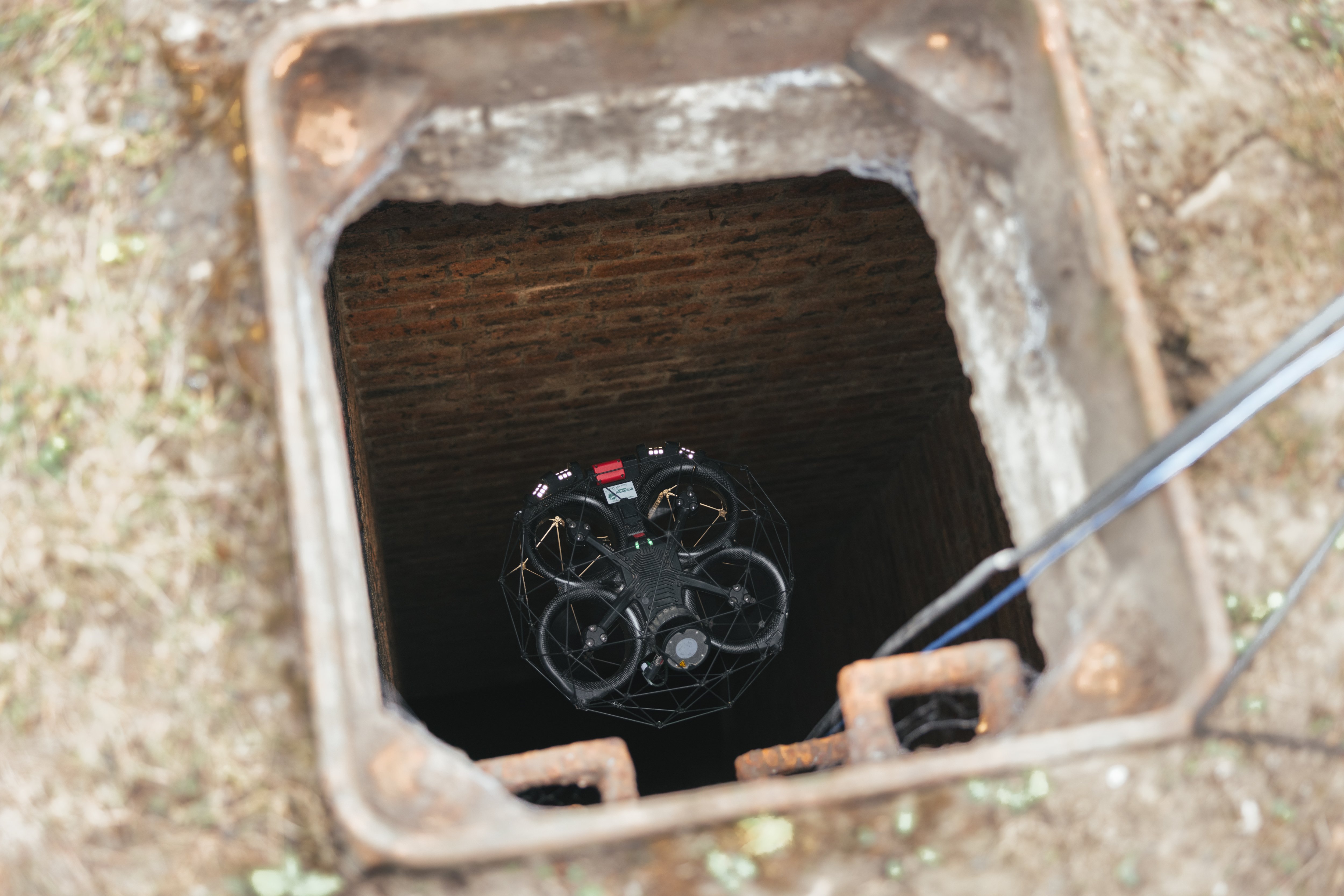
To create a BIM model you need to have an accurate survey of the entirety of a site. This can be challenging in industrial locations where pipes, structures, and tubes can cause gaps in the data when the space behind them is not scanned because of structures in the way. This is why the Elios 3 was the ideal tool as it can be maneuvered between obstacles to get a complete data set.
With the Elios 3, pilots were able to gather all of the necessary laser scans in just 1 day of flying. This is much faster than the multiple weeks of scanning expected with a terrestrial laser scanner.
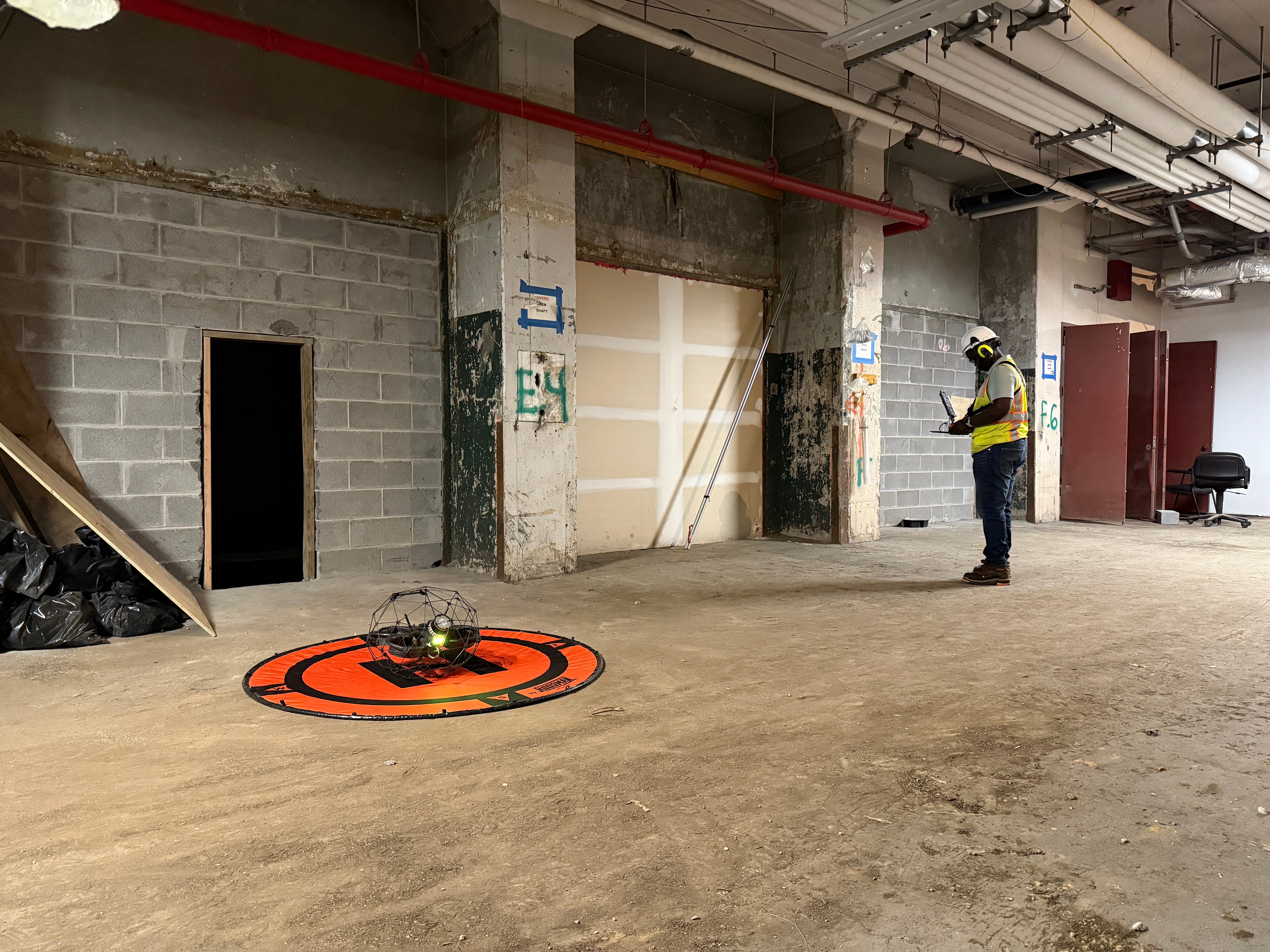
The Elios 3 makes it possible to inspect complex assets from a safe location on the ground
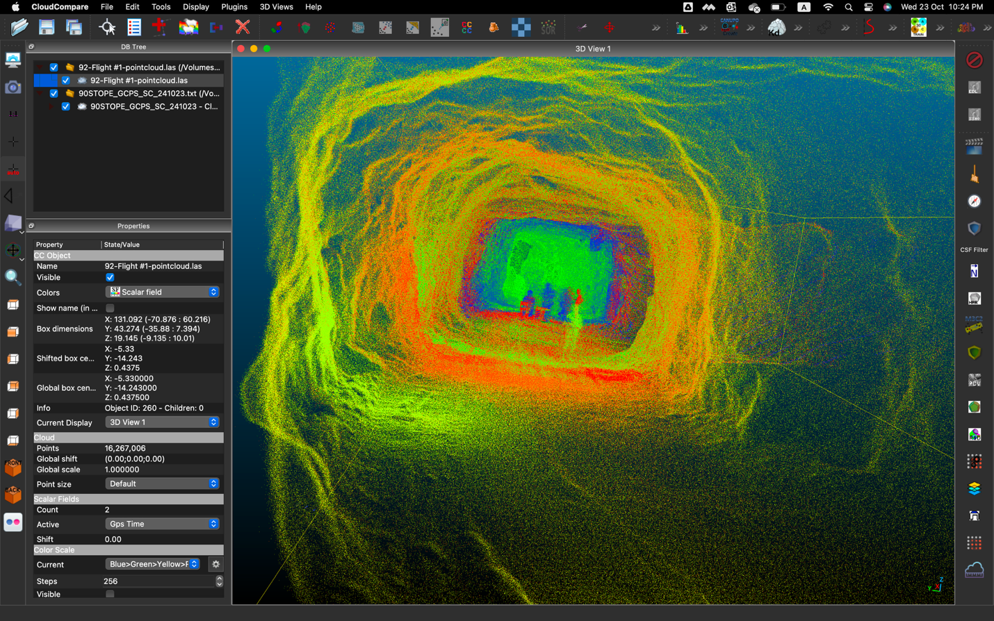
Afterwards, post-processing took just 2 days, and within a week, all the results had been refined to give a complete render and .las file. The post-processing involved checking the scans from different flights lined up and merged into a single, large scan file. They also filtered out any poor quality data such as dust or data captured from too great a distance.
Processing the results from the Elios 3 was initially done using FARO Connect, which is the partner software included in Flyability's Surveying Payload.
Using a drone scan-to-BIM model
The incredible results from this project have been hugely beneficial to the plant. They were able to cut costs by using the Elios 3 to survey the site, as well as ensure the total coverage of their scans. This meant the final drone scan-to-BIM model had no gaps in the data and didn’t require multiple attempts over several sessions to collect all the data. In addition, because the flights were performed by in-house drone pilots, their familiarity with the site made it easier and quicker overall - instead of having to explain to subcontractors how the site is laid out and what to be aware of.
For this project, the site wanted to get a “schematic design”, which is defined as a level of development of 200 - a specific category of BIM model. The Elios 3’s LiDAR scan data from its Surveying Payload was well within this category, helping the surveyors get the desired results with the correct level of detail for their mission.

Schematic design of a plant section used for engineering layout and spatial design of new plant structure.
In relation to the Plants of Tomorrow project, this site can now clearly plan where to add carbon capture technology to the plant and provide this information to construction teams. This includes installing ducts and equipment such as fans, filters, and heat exchangers. The accuracy of the BIM model means that architects and engineers can easily plan the exact dimensions, location, and position of these new elements.
In addition, this plant can use its BIM model to demonstrate the efforts made at the site to improve the carbon footprint of construction projects. These records can help secure funding from the EU as well as demonstrate the actions taken by the site to authorities.
The advantages of using drone Scan to BIM models
The BIM model created with drone data on at this site presents a massive step forward to bringing Industry 4.0 to cement plants. The scan has already been shared with multiple subcontractors for other projects, proving its value and simplifying project management.
Fly-through: watch the Scan to BIM model made with the Elios 3
The benefits of using the Elios 3 to gather the scan are huge. The speed of data collection was massively improved by using the drone, reducing site disruption while also achieving 100% data coverage both inside and outside of assets. The costs were reduced thanks to only needing 1 day to scan and a few days of post-processing versus traditional methods needing a week of scanning and more time processing the data.
There is significant long-term value to this drone scan-to-BIM process. Should there be major changes to the site with new installations, the team will be able to use their existing model for planning and create a new BIM model with the Elios 3 to generate the new digital twin.
In the future, this site expects to use the Elios 3’s LiDAR and UT capabilities to continue digitizing assets and conducting inspections remotely to keep inspectors safe. The BIM model builds on existing work with drones and is just part of the way the Elios 3 is helping this site innovate.
Interested in learning more? Download our full guide on Scan to BIM!


-Jan-16-2026-10-59-56-8006-AM.png)
.jpg)
.png)
