Bringing The Elios 2 And Elios 3 To Firefighting
Benefits In A Nutshell
|
Speed |
Safety The survey with the Elios 3 can be used to inform teams about a life emergency event, as well as plan safe entry during and after the incident. |
|
Accountability After an emergency incident, the 3D model created with data collected by the Elios 3 can be used as part of assessing the response to the emergency and how to optimize future operations. |
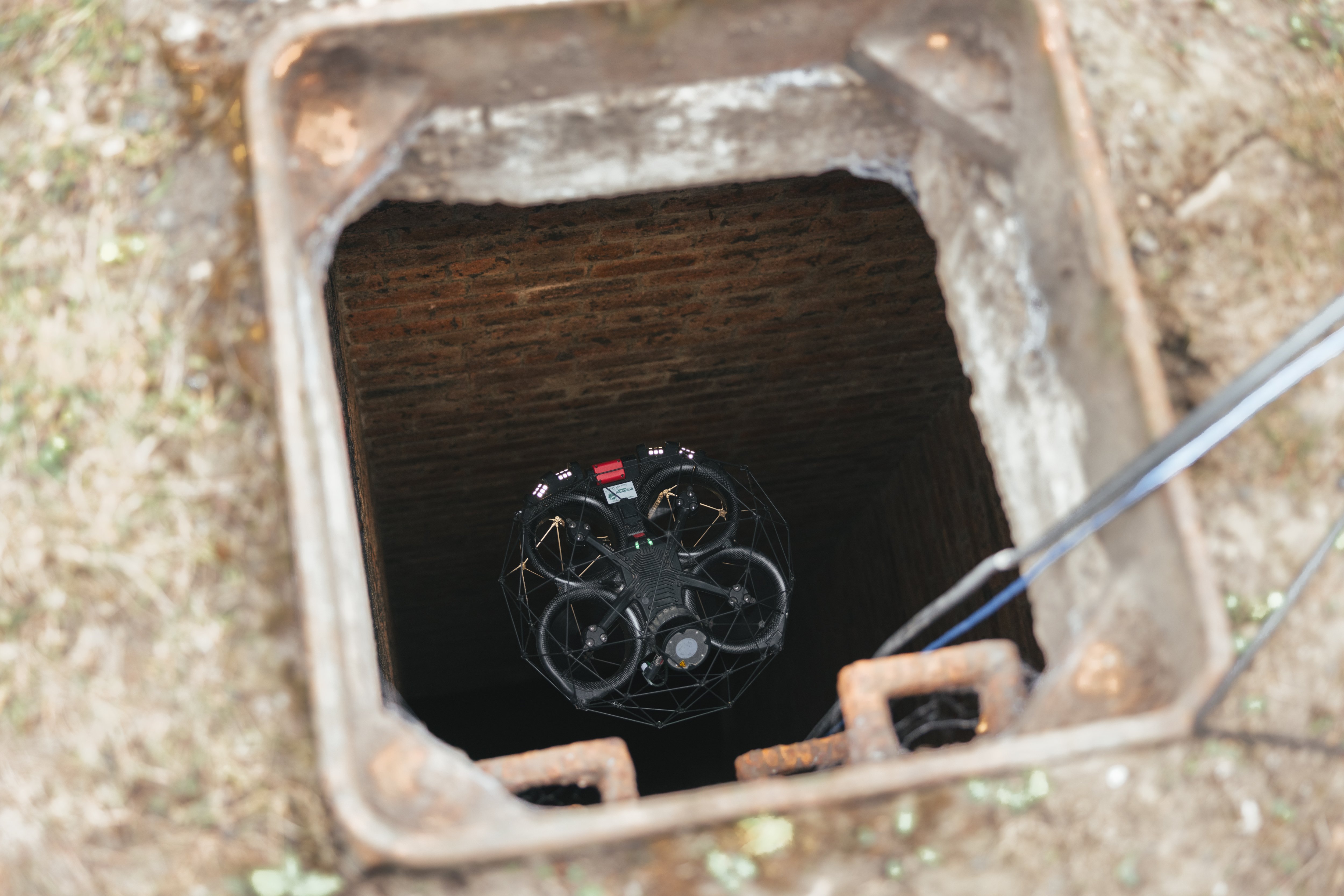
Access The Elios 3 can enter dangerous environments before people, checking if it is safe to reach and providing key information. This can be used to plan the next steps by personnel.
|
When first responders arrive on a scene, they may have no advance idea of what awaits them. Few careers call for people to be as adaptive and think as creatively, capable of finding a workaround for the most complex scenarios.
The most important thing about scene arrival is getting up-to-speed with the situational - picking up situational awareness. This knowledge is based on whatever accounts are available at the scene, as well as any information that other responders may have. However, detailed information can be hard to come by, especially when fast reactions are critical.
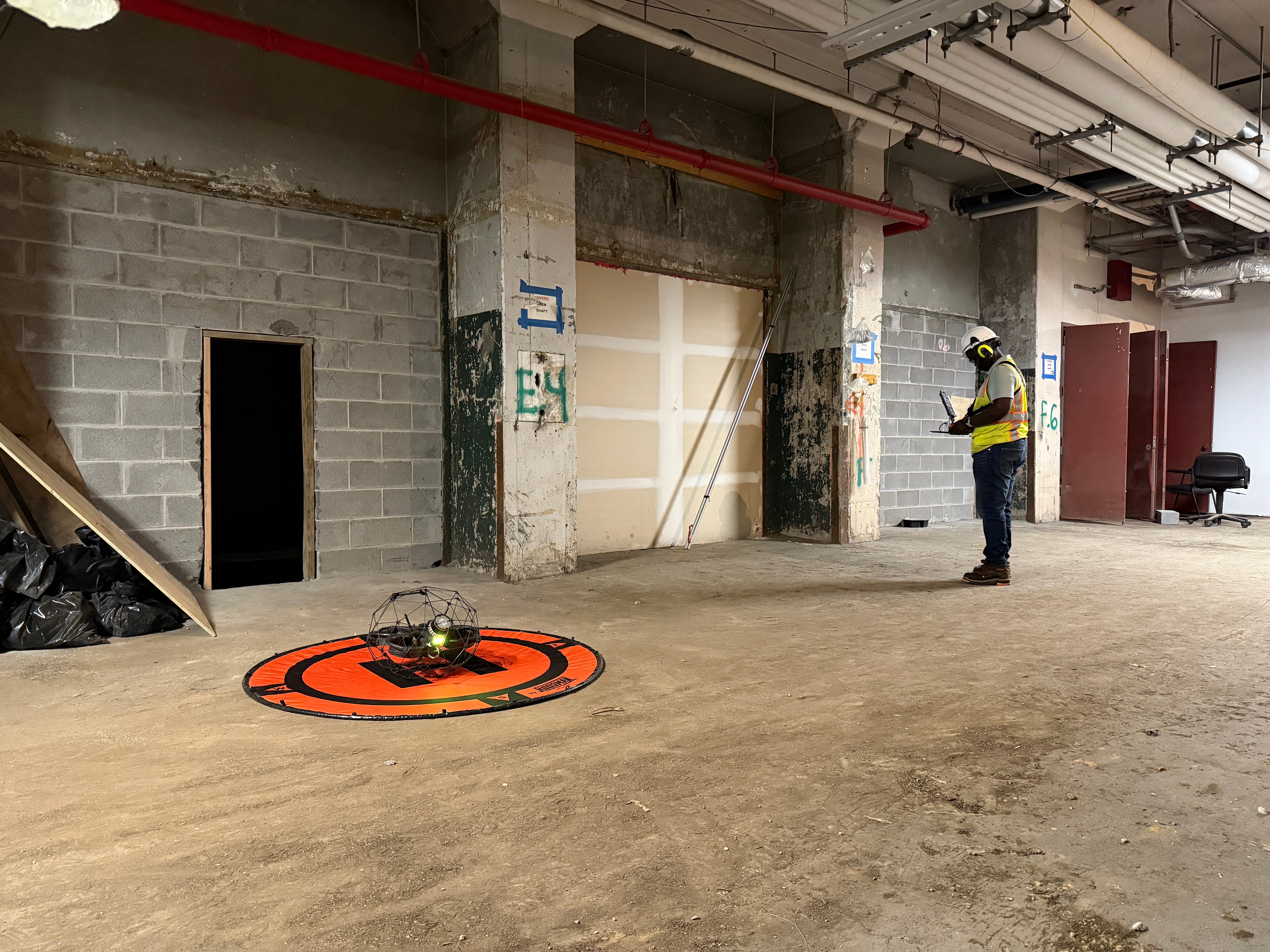
.jpg?width=875&height=582&name=053-TDV%20(1).jpg) The Elios 2 ready for action in a fire scenario. Image credit: Megin Zondervan
The Elios 2 ready for action in a fire scenario. Image credit: Megin Zondervan
Modernizing Emergency Response Data Collection
Team Digital Exploration (TDE) is a specialized unit working as part of the fire brigade in the Netherlands who are trained to gather information quickly and effectively. The team was founded in 2018 as a partnership between the Unified Fire Brigade (GB) and the Safety Region of Rotterdam-Rijnmond (VRR). In the Netherlands there are 8 active teams at the moment of writing this article. On average, they are deployed four to five times a week. In their work, they support first responders on the scene by collecting information and effectively sharing this with the responders.

“Now, we don’t have to send first responders inside a building or space that has a potential hazard without doing a scouting flight beforehand. The reconnaissance we can do with the Elios is a game changer.” - Robbert Heinecke, national manager at TDE (logo pictured right).
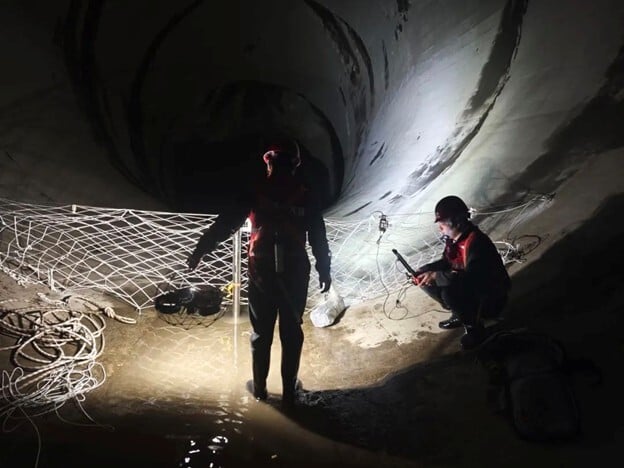
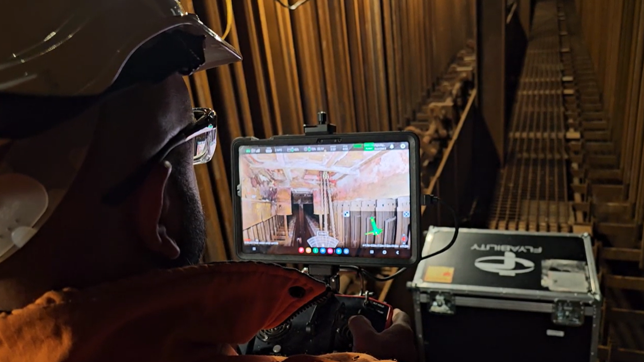
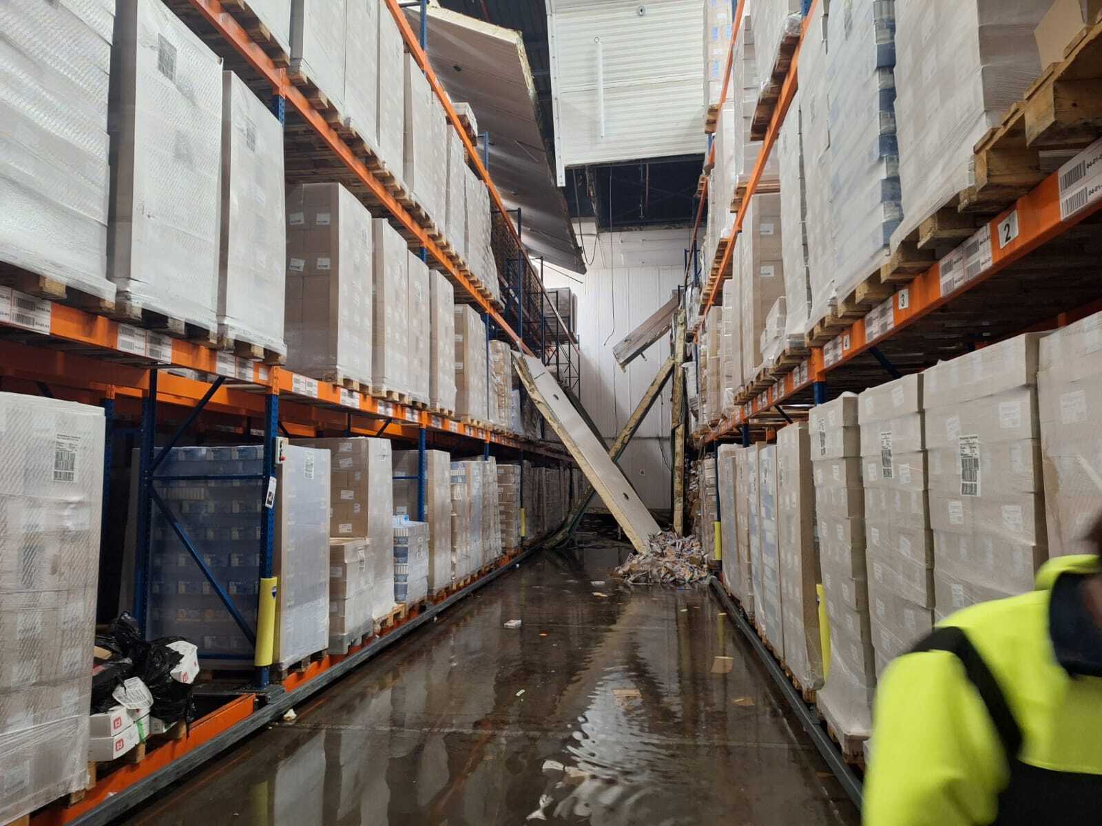
As part of this, they use drones to gather data from inside structures. This can include buildings where there is a fire or structural damage that makes it critical to operate as safely as possible. Team Digital Exploration (TDE) will use their drones to analyze the site at short notice to brief first responders. Then, after a crisis response is completed, they will fly the area to gather data for 2D or 3D recreations and reporting.
You can learn more about the TDE in this YouTube video.
Flying Drones In Hazardous Environments
The TDE has used both the Elios 2 and Elios 3 for emergency response operations alongside other drones. They have a varied fleet of UAVs to help them adapt to each situation. Since 2018, the TDE has responded to and assisted in events including:
- Firefighting
- Emergency response
- Hazardous materials incident response
- Water accidents
- Surface water pollution
- Searching for missing people
- Danger of collapse assessments
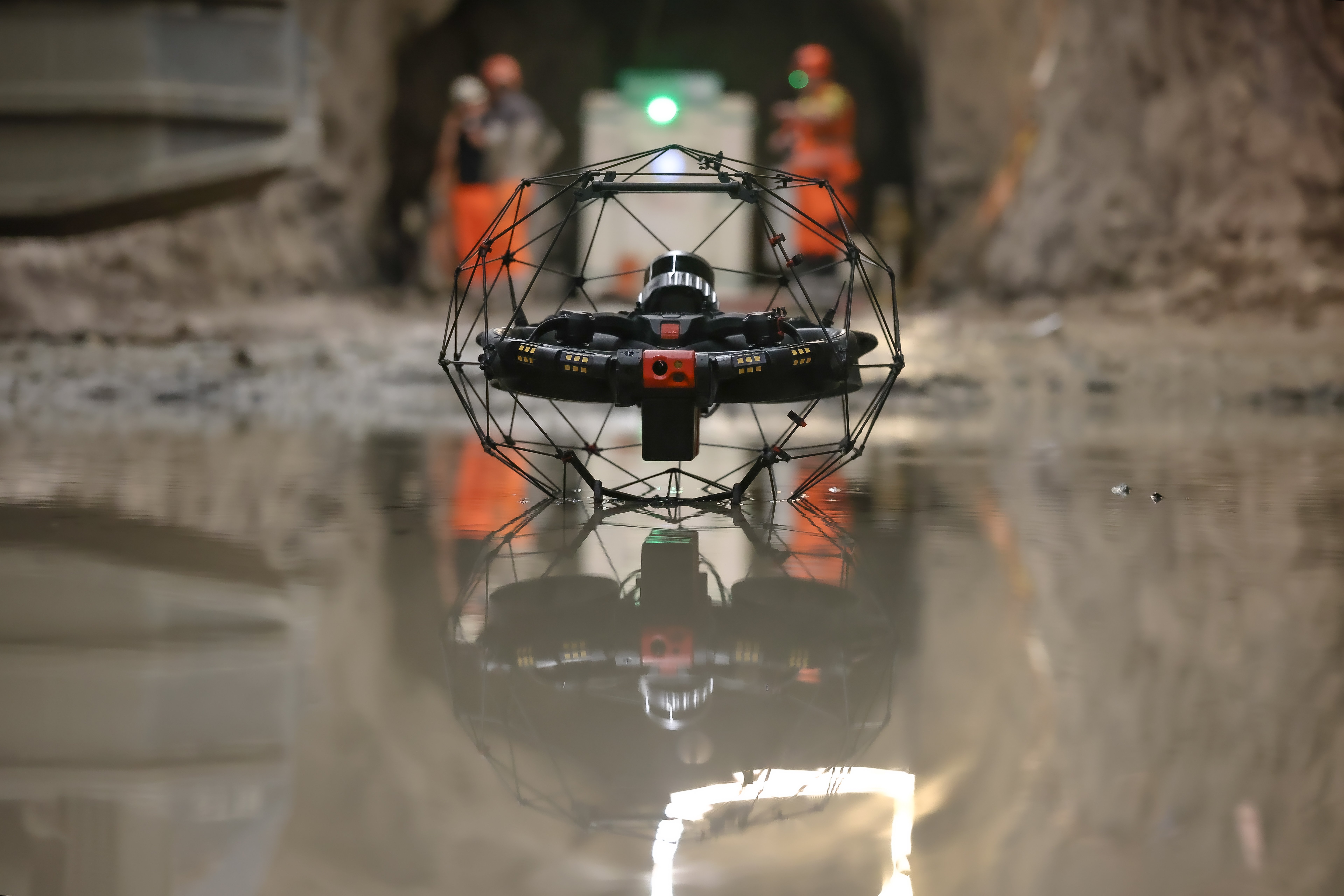
By using the Elios drone for data collection in these environments, the team can fly inside confined spaces - such as buildings - with confidence even when the drone is beyond the visual line of sight.
.jpg?width=875&height=582&name=051-TDV%20(1).jpg)
An Elios 2 used by Robbert's team. Image credit: Megin Zondervan
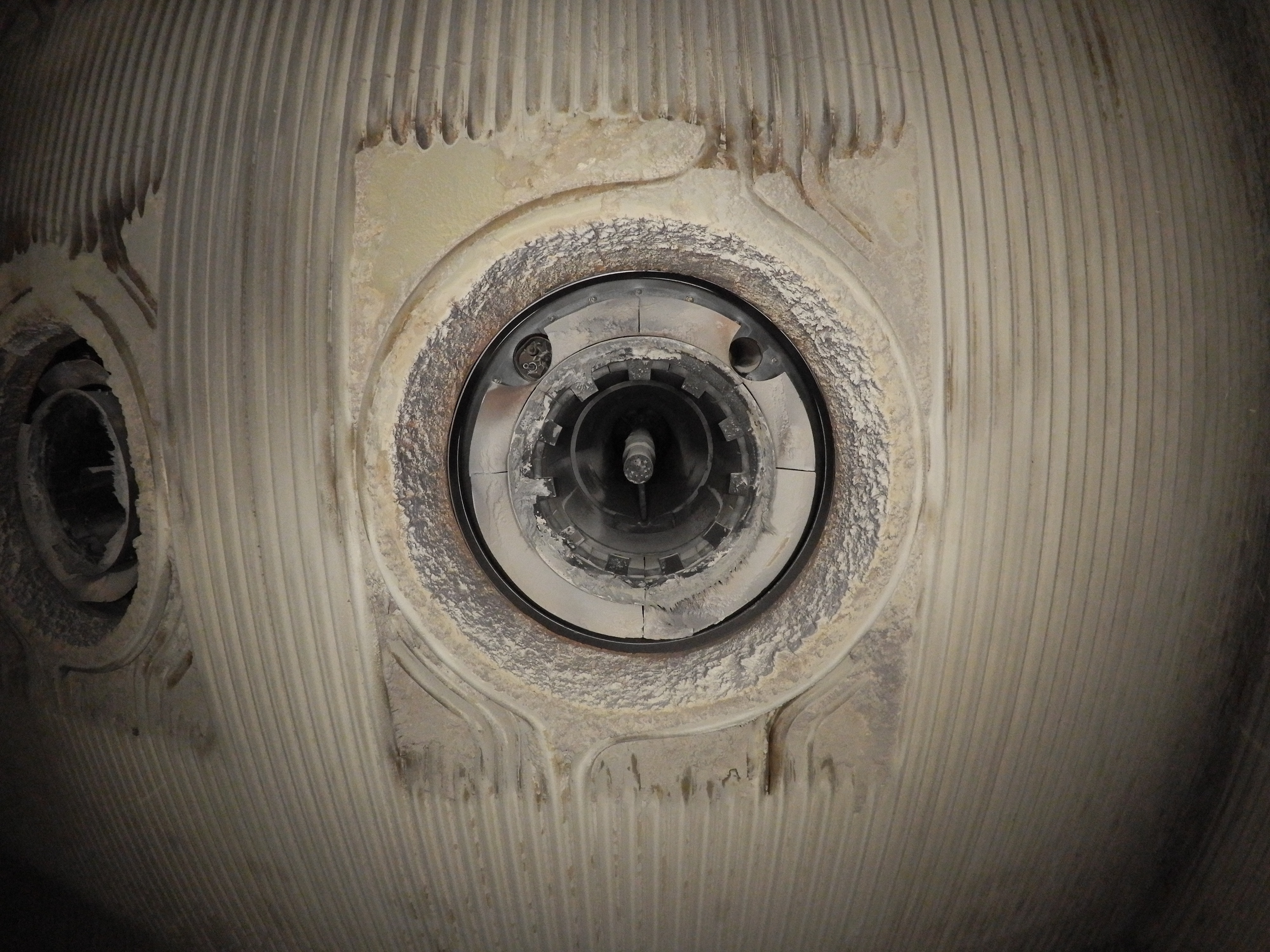
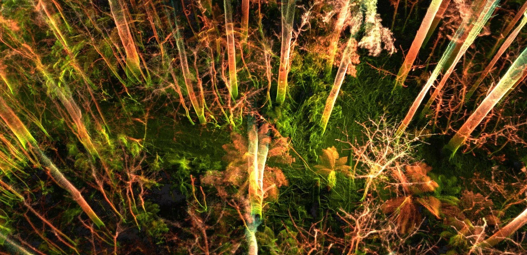
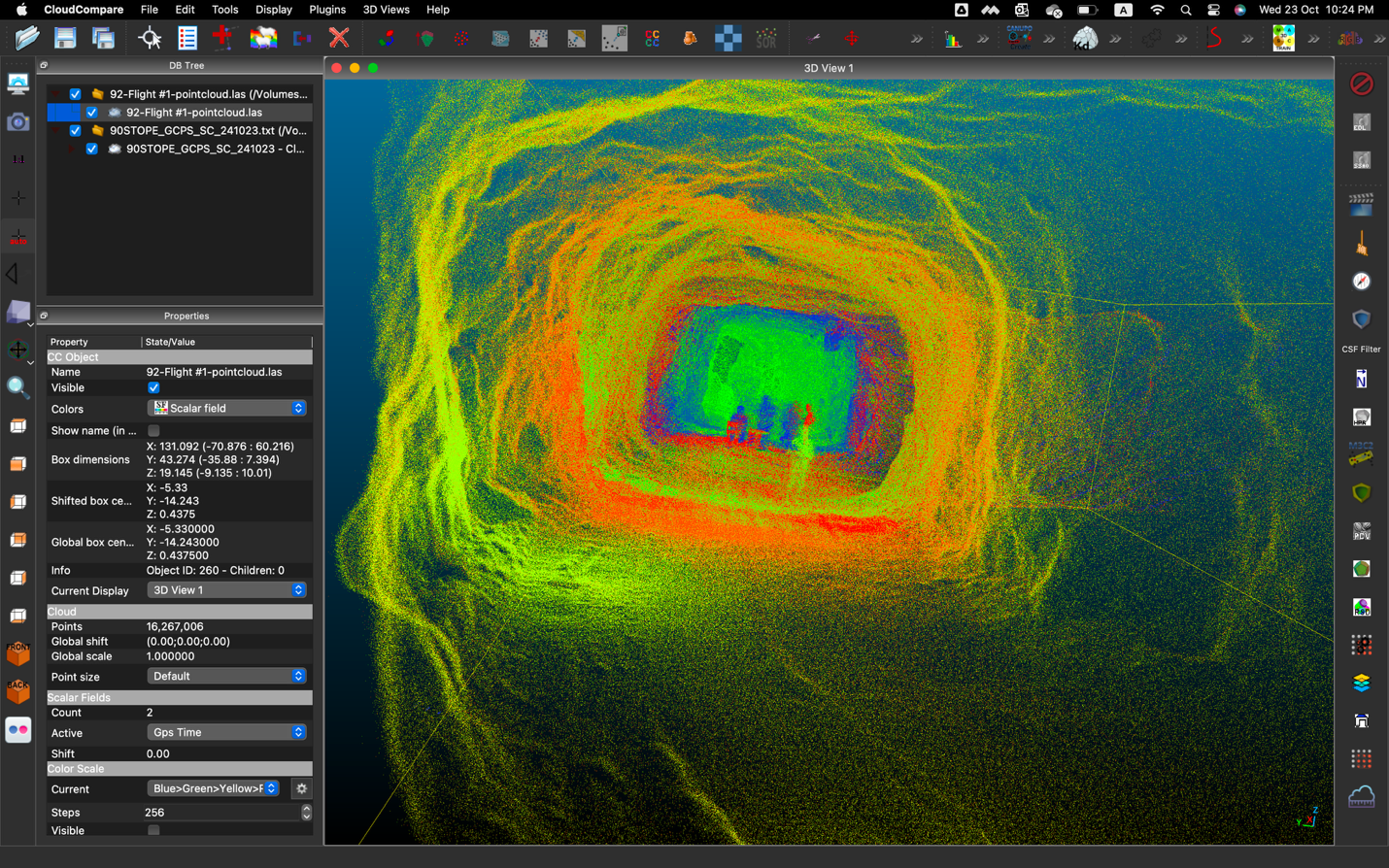
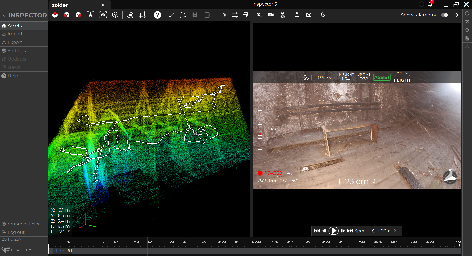
The visual imagery collected with the Elios drone can be used as a live feed to report to first responders, or as part of assessments after the response is completed. This data is processed with photogrammetry software PIX4Dmapper. The 2D and 3D recreations with visual imagery can be used for scene analysis and assessing the success of the emergency response, as well as learning about what works and what does not so the team can prepare for the next incident.
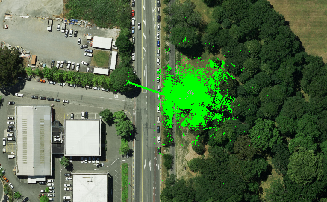
However, the TDE is working in a variety of environments. Sometimes, in fire response scenarios, there is too much smoke for the visual camera, they use the LiDAR live scan on the FlyAware software on the Elios’s remote control to get situational awareness. Similarly, LiDAR data can be used for creating 3D models of the site afterwards.
Creating A Drone Emergency Response Network
“The drones are helping us to keep first responders safe. With the Elios drones can be flexible in our flight environment, which has helped us to be more effective, efficient, and enable safer incident response,” explains Robbert Heinecke. His team was recently featured on the news for how they used the Elios 3 for reconnaissance at a fire to check if fireworks had been involved in the fire.
Moving forwards, Robbert and his teams hope to help other fire departments set up similar drone response teams to assist first responders and empower safer operations. Their work proves yet another application for the Elios drones, outdoor drones and UGV’s in keeping people safe in complex and challenging environments.
Discover more about the Elios 3 and its surveying payload

.jpg)
-Jan-16-2026-10-59-56-8006-AM.png)
.jpg)
.png)