- Case Studies >
- Surveying a disused coal plant with the Elios 3
Surveying A Disused Coal Plant With The Elios 3
Benefits In A Nutshell
|
Speed |
Cost savings Current government recommendations mean that exposure to potential biological hazards such as bird waste and asbestos presence restricted hands-on inspections. The Elios 3 enabled inspectors to comply with rules and still gather data. |
|
Safety No exposure to unnecessary risks, including potential falling debris, biological hazards, or carcinogenic waste. Safe, remote inspection of the condemned building was possible thanks to the Elios 3, allowing inspectors to access and review this hazardous area from their desktop. |
Access Due to access restrictions, the Elios 3 was the only option for safely entering and gathering data in the buildings and chimney flu. 2 hours of flights provided comprehensive inspection and detailed dimensional data to compliment the 3D capture of the entire site.
|
Heritage Trust Sites across the UK are attempting to preserve and protect areas or buildings of historic value. This can include having natural, cultural, or mixed significance, such as disused quarries and mines or the more typical castles, fortresses, and villages.
A disused coal plant in Wales is currently being managed by the local heritage authority. They want to conserve and celebrate the industrial heritage of the area. The local Trust planned for the coal plant site to be refurbished for future use as a museum in a major cultural project. However, this coal mine and processing plant has been abandoned for decades and before refurbishment can begin, the Trust needed to find out what the current condition of the site is. They called in an engineering company who started the job of planning and surveying the site. The engineers in turn brought in survey and inspection experts TEXO, who specialize in UAS data capture.
Using Drone Surveys To Ensure Work Safety
TEXO provides specialized drone services to projects around the world. They work in a variety of sectors, with a particular focus on providing turnkey solutions in heavy industry. They have been working with confined-space drones for almost a decade, having purchased the original Elios drone in 2016. Having moved through the Flyability ecosystem, they have also worked with the Elios 2 and are now successfully integrating the Elios 3 into their surveying workflows.
TEXO often use drones in industries that are sometimes resistant to adopting the new technology. However, they have found that drones are a gamechanger for safety and cost-savings. They explain that the major benefits of drones come through the “secondary costs” - such as the cost of setting up rope access for inspections at height, or mounting and dismantling scaffolding. Their clients see the benefits of this too.

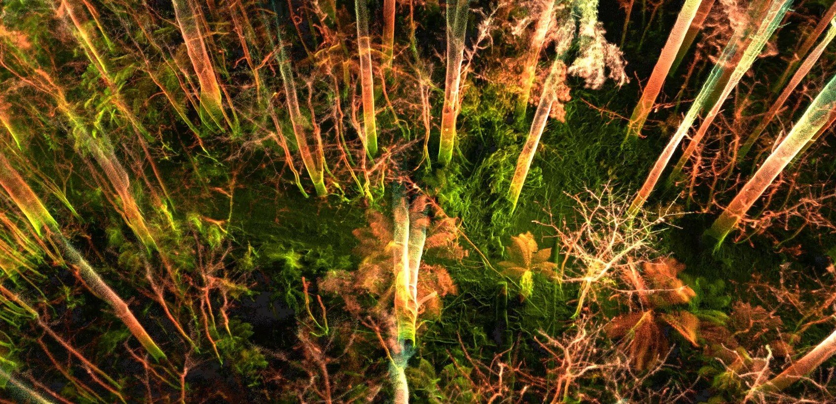
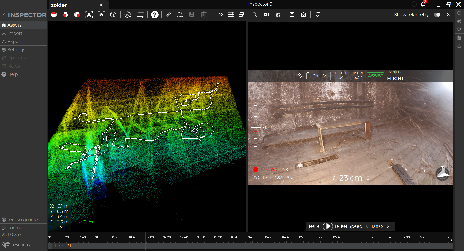
LiDAR scans captured with drones also provide data for areas that can't be safely accessed
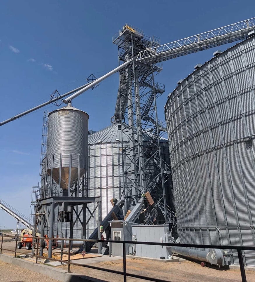
The engineering company tasked with surveying the heritage site brought in TEXO to help survey the condemned and dangerous areas, including the old kiln and chimney.
Inspecting No-Go Areas With A Drone
This disused site has been out of action for many years. As a result, there is no record of the condition of any of the buildings or what equipment is inside. Similarly, no one knew how the chimney at the kiln would look from the inside and if it was still structurally sound.
.jpg?width=875&height=433&name=01_facade1%20(1).jpg)
The facade of the abandoned factory shows broken glass and vegetation overgrowth
In the UK, there is a current push from the government to protect people from exposure to biological hazards, such as fecal matter from birds or asbestos. For this reason, stricter safety protocols have been introduced on the site, which prompted the remote inspection request. The chimney was likely to not only have biological waste of this nature and vegetation growing around it, but also old industrial waste such as ash that could be carcinogenic. There were significant safety concerns in accessing it, which is why TEXO wanted to use an Elios 3 to safely inspect the space. They were also asked to survey the condemned buildings with a drone to capture their current condition.
A 3D Survey With Drones And Laser Scanners
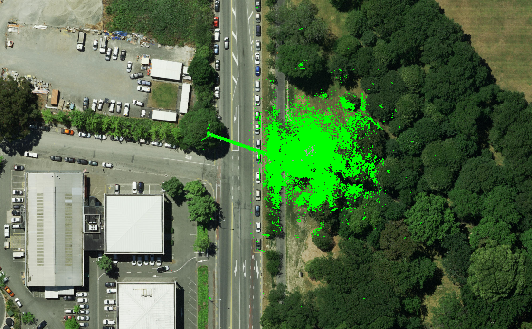
The chimney needed to be surveyed on both inside and outside with a high degree of accuracy. In order to geolocate their results, TEXO used a terrestrial scanner that was referenced to an ordonance survey, and then set up fixed targets to use as georeferenced objects that could be integrated through cloud-to-cloud registration.
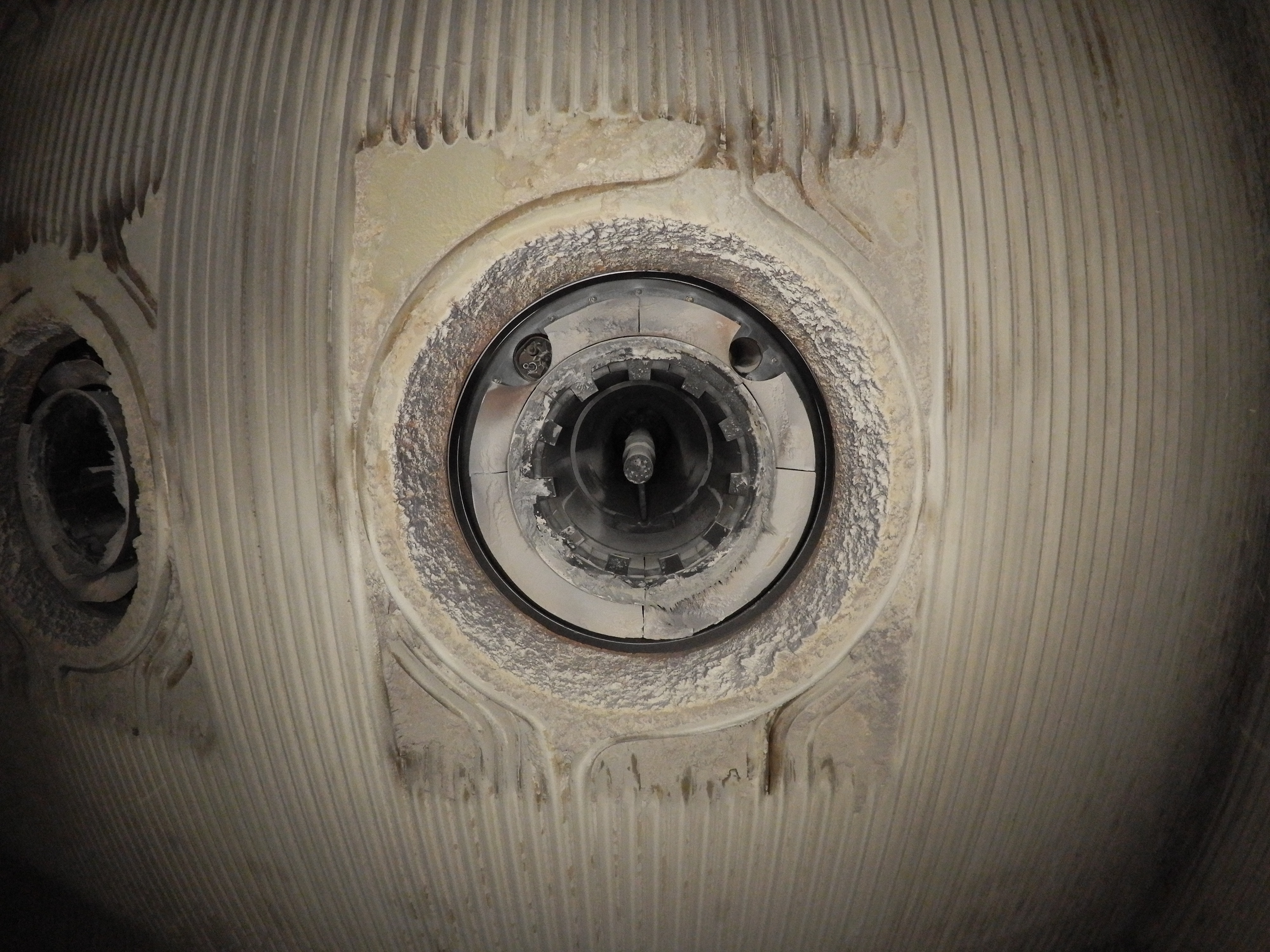
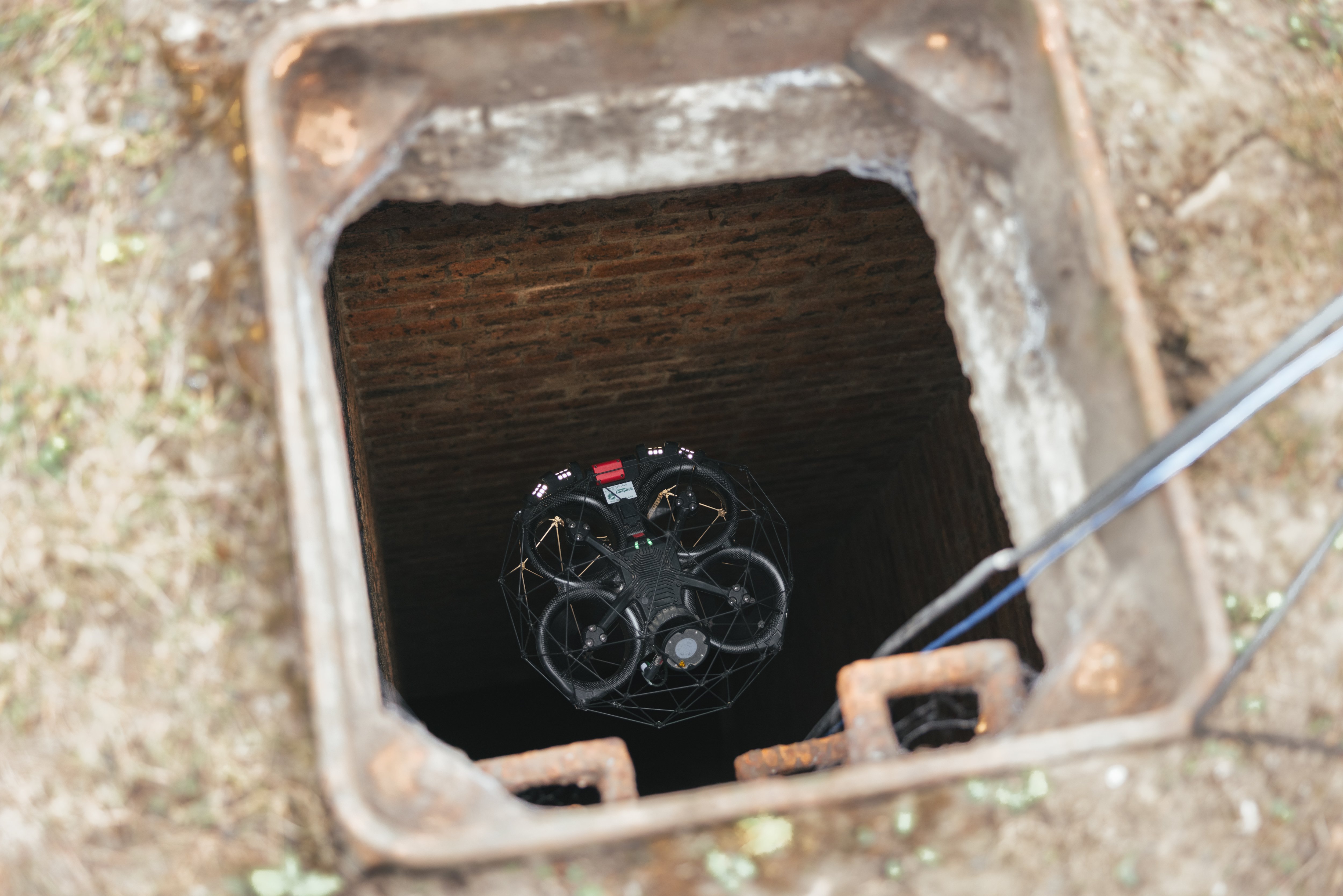
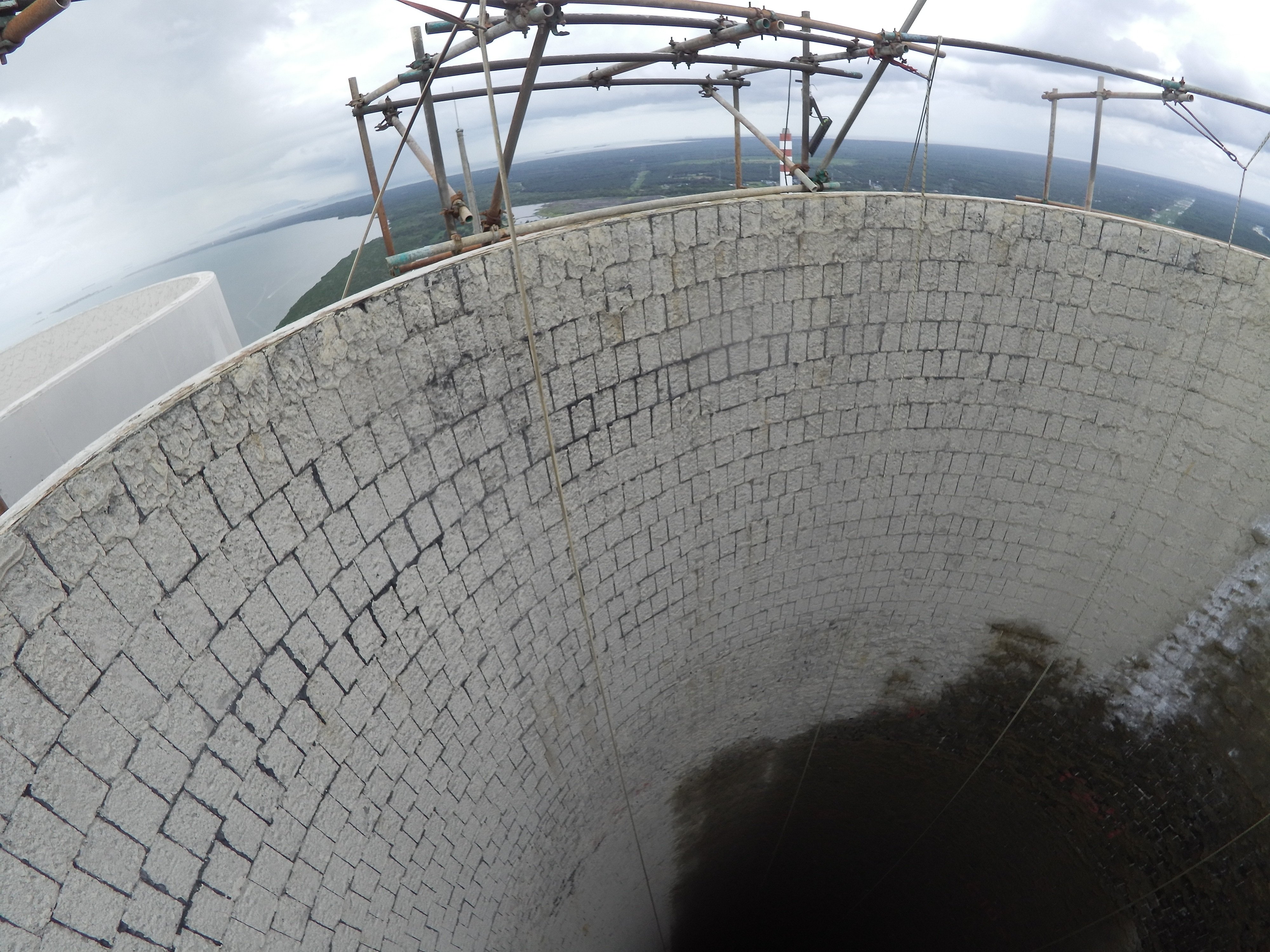
Next, the team flew the Elios 3 inside the chimney flu using their own SLAM flight methodology which they have crafted through experience. As expected, they found debris as well as hanging vegetation around the structure. The Elios 3’s protective cage meant it could still navigate the environment without being damaged or knocked out of the air, but the inspection clearly showed this was not safe to be inspected by a person.
.png?width=875&height=508&name=frame_000314%20(1).png)
The chimney flu has plants growing over the outer walls, blocking the top of the structure
After the successful chimney flight, the drone pilots then turned to the building interiors. They found particularly hostile and challenging environments here, with debris, old furniture, and dust everywhere. The Elios was flown inside the building to gather visual data that can be used to plan the best way to deal with the space in the future. This was very important in keeping staff safe, as there was a risk of hazardous material, such as exposed asbestos, or biological matter.
The full site survey also included photogrammetry and LiDAR data collection with other drones, after which all of the data would be merged and shared with the engineering company that contracted TEXO. Overall, the complete site survey took 2 pilots 2 days to complete, with 6 different methods of data collection.
Using Modern Technology For Cultural Heritage Preservation
This project highlighted the value of using drones as part of cultural heritage projects. Before this site can be repurposed as a museum to capture the industrial past of this part of Wales, these surveys will be critical to safely planning any rennovations.
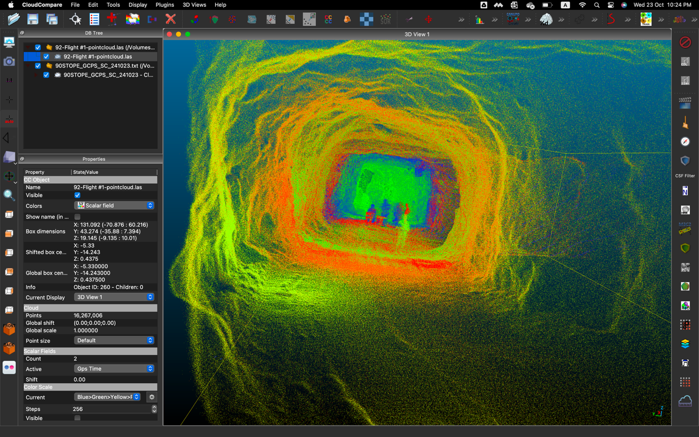
The 3D model of the kiln captured with the Elios 3 clearly shows its structure, helping the TEXO team achieve the overall project goals
TEXO used the Elios 3 to keep their team safe while gathering critical LiDAR and visual data. The measurements from the LiDAR scans can be used for architectural plans, while the visual information will be key for planning the safe access to the condemned buildings. The surveys have kept the TEXO drone pilots safe as well as the workers for the engineering company.
Through this project TEXO proved the value of drones as an inspection tool as a method to keep their staff safe while working quickly to gather critical data. It opens a business opportunity for future work of this nature with other clients and highlights the diverse range of projects that drone inspections can be part of.
Discover more about the Elios 3 and its surveying payload


-Jan-16-2026-10-59-56-8006-AM.png)
.jpg)
.png)
