


Data import
Drag and drop datasets into Connect where a pre-selected workflow will automatically begin processing. Datasets can also be browsed and selected for upload.


Data management
Data files can be sorted into projects defined by the user. Projects can be used to manage multiple scans from a single site, date or operator or from a common data processing workflow.


Data filtering
Data filtering tools including outlier removal, surface noise reduction, cropping, smoothing and data thinning result in cleaner, more defined point clouds.


Automated workflows
Common workflows, such as importing the data, adjusting the parameters and exporting, can be automated into a single operation, simplifying data processing for users.
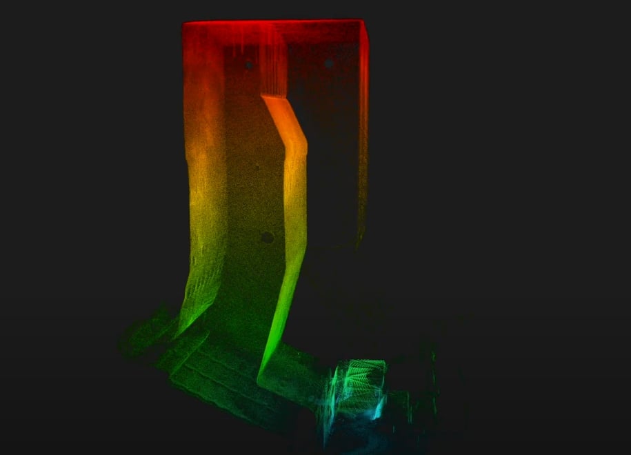
Mining
For mapping and volumetric measurements.
Locations:
- Stopes
- Ore passes
- Shafts
- Draw points
- Ventilation systems
Applications:
- Convergence monitoring
- Rock mass classification
- Volumetric measurement for over / under break, reconciliations and stockpile paste scheduling
- Confirm backfilling volumes and heights
- Improve scheduling and backfill design, reduce production interruptions
- Quickly identify remaining stope volumes
- Locating hang ups
- Thickness and volume measurement of blockages
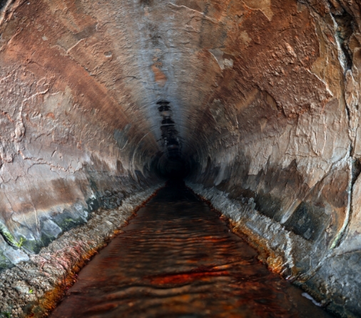
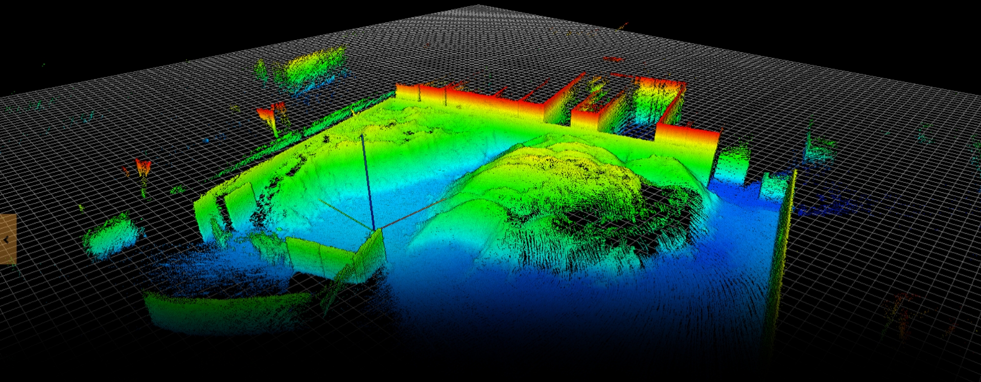
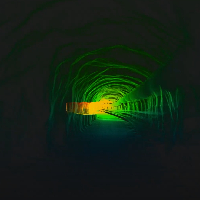
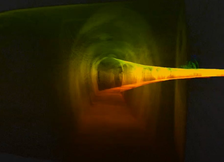
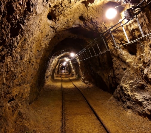
Infrastructure & Utilities
For mapping and georeferencing
Locations:
- Tunnels
- Buildings
- Production plants
- Construction grounds
- Emergency sites
- Warehouses
- Caves
- Historical sites
- Critical infrastructures such as bridges, pipes, dams, refineries
Applications:
- Mapping and georeferencing of existing workings in order to plan for further civil engineering development (usually underground).
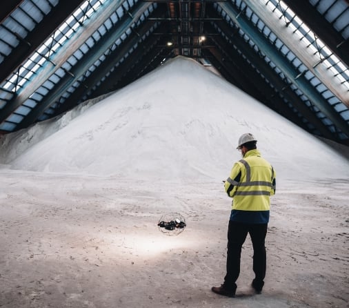
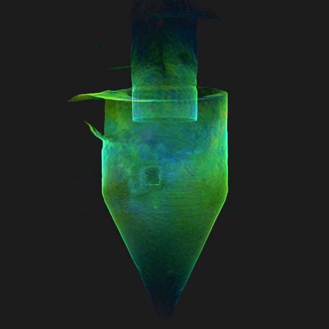
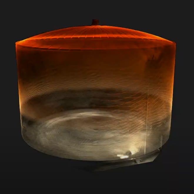
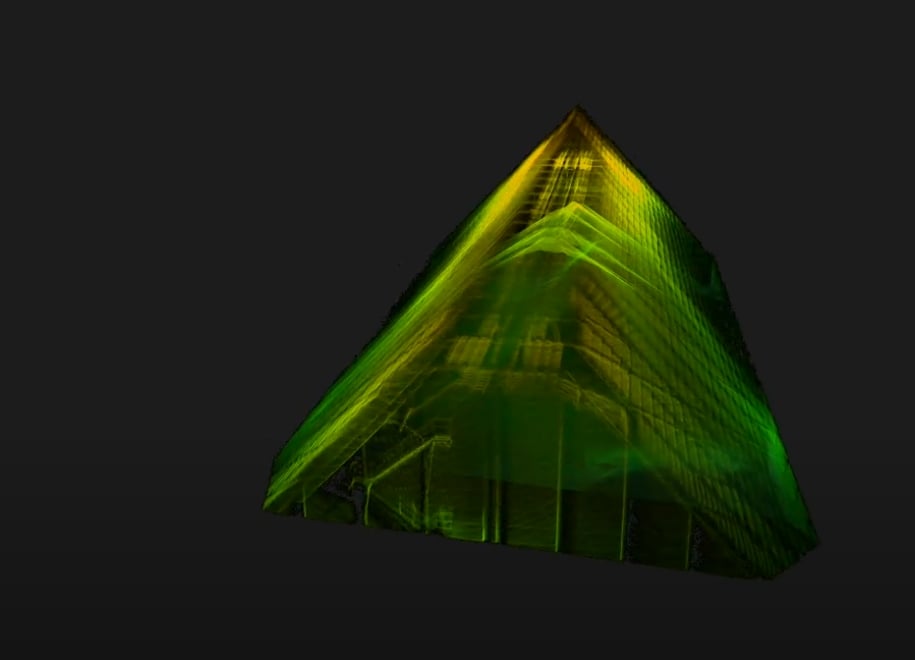
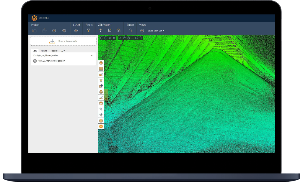
Stockpiles
For volumetric measurement and management
Locations:
- Silos
- Tanks
- Indoor and underground stockpiles
Applications:
- Production
- Beneficiation
- Logistics
- Ports
- Sales