
Case studies
|
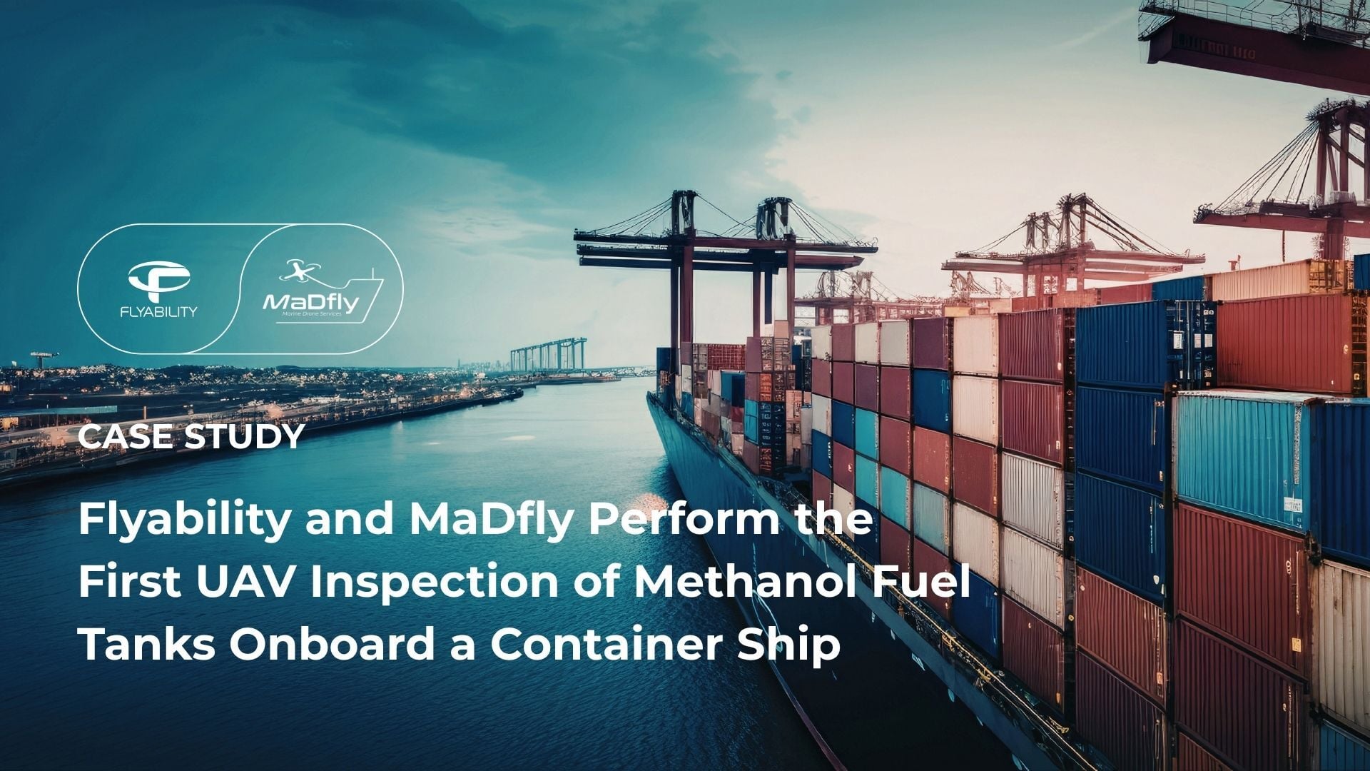
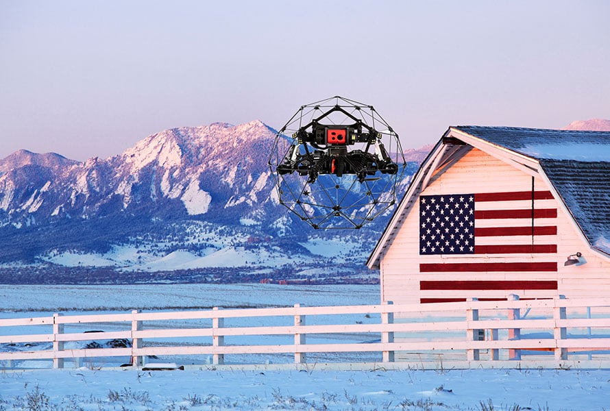
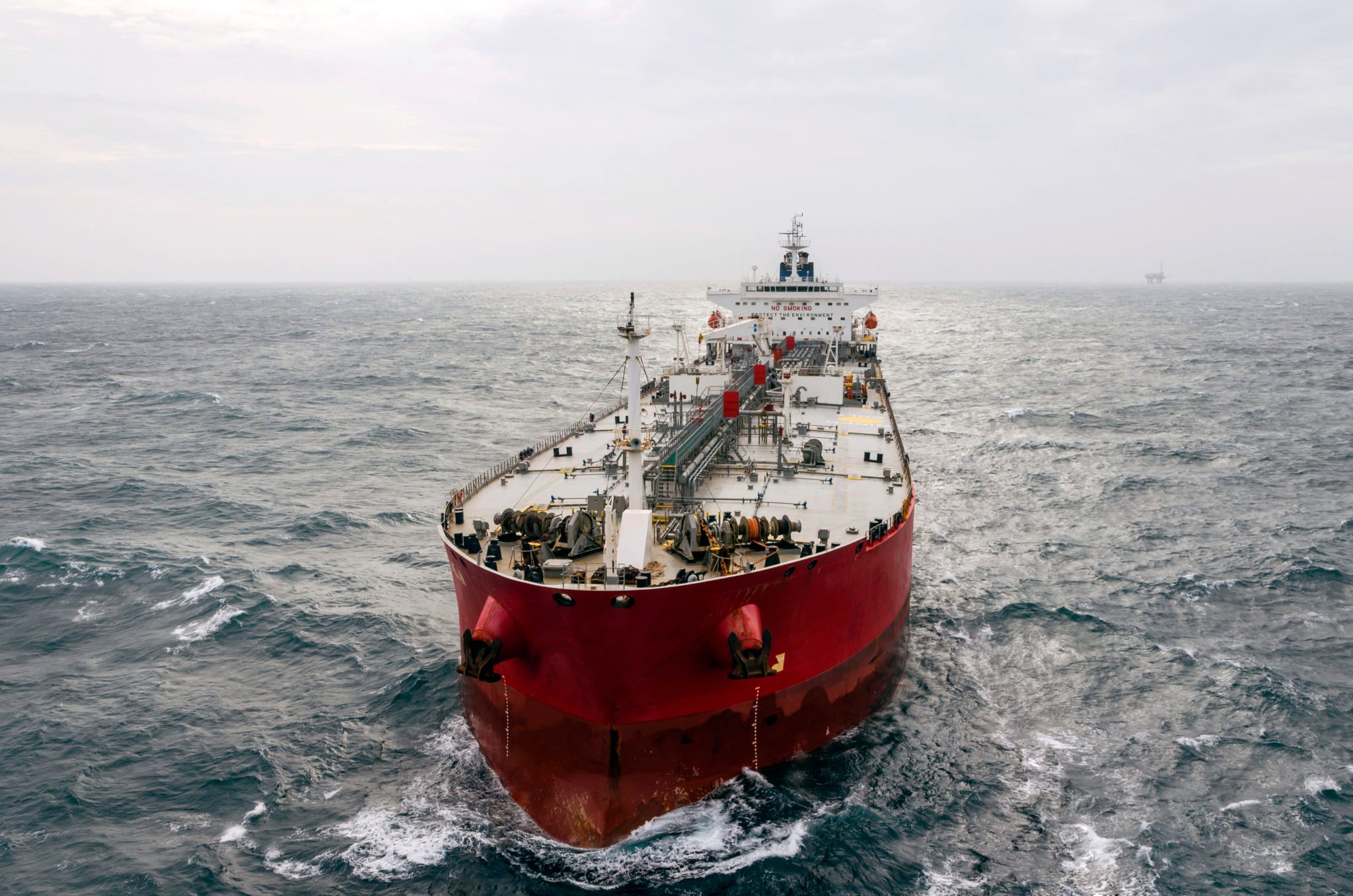
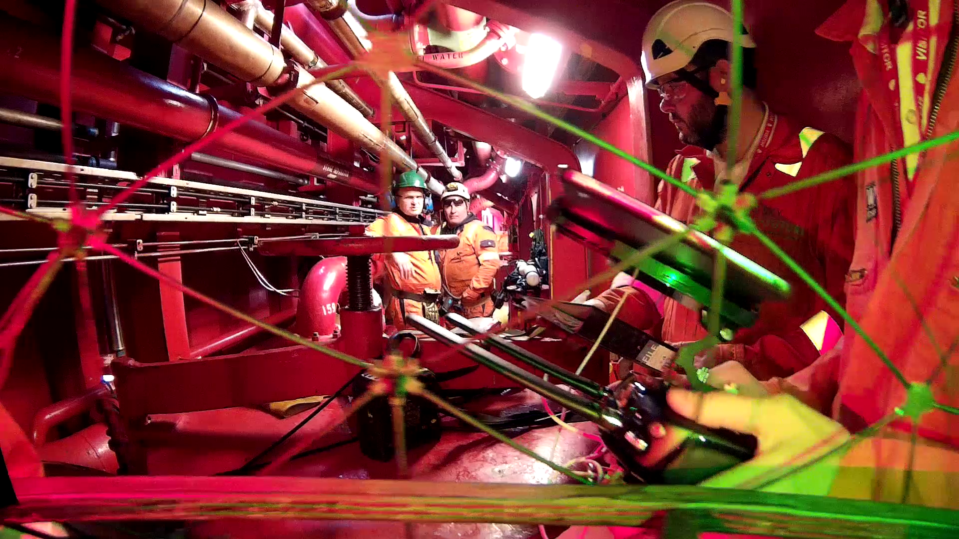
Maritime
216317236125

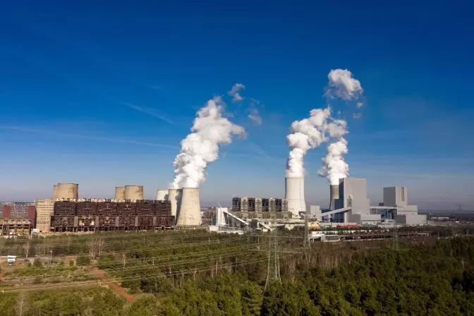
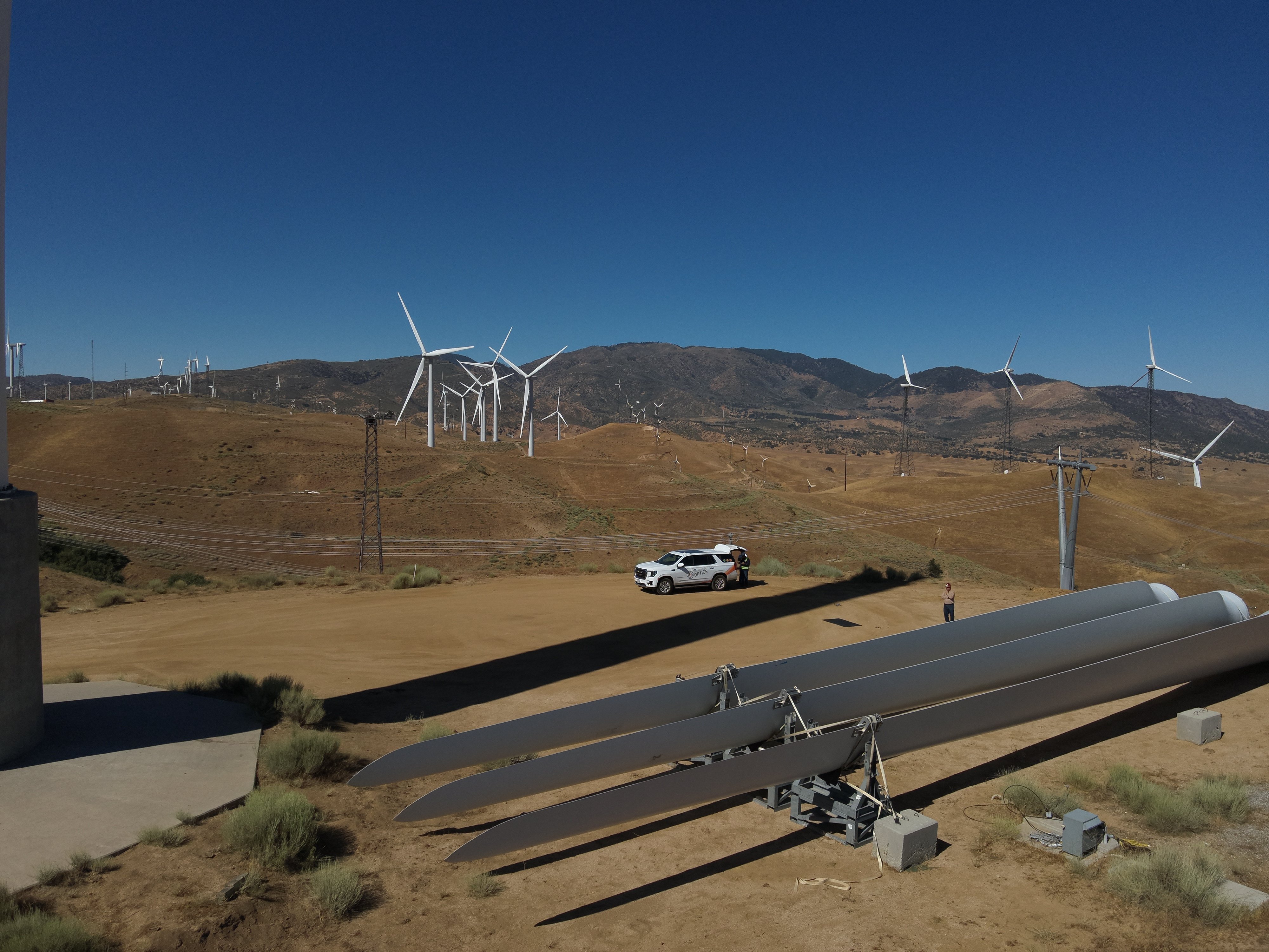
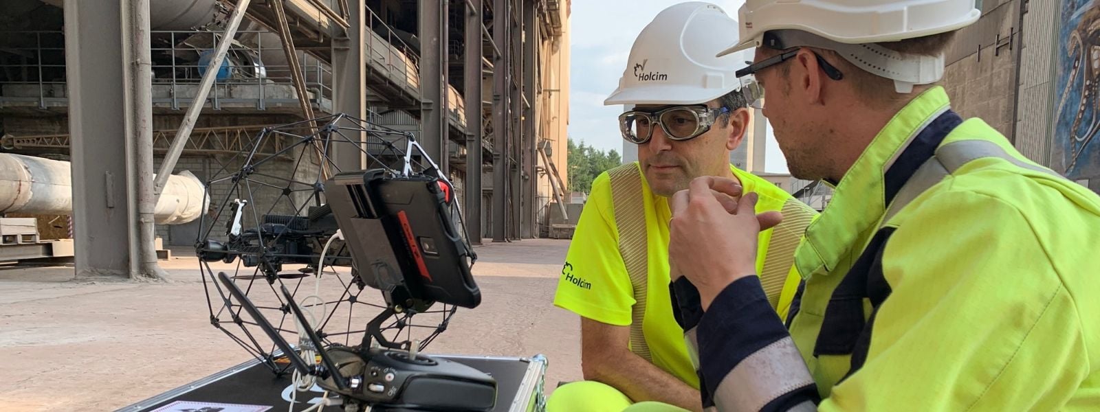
Case studies
|
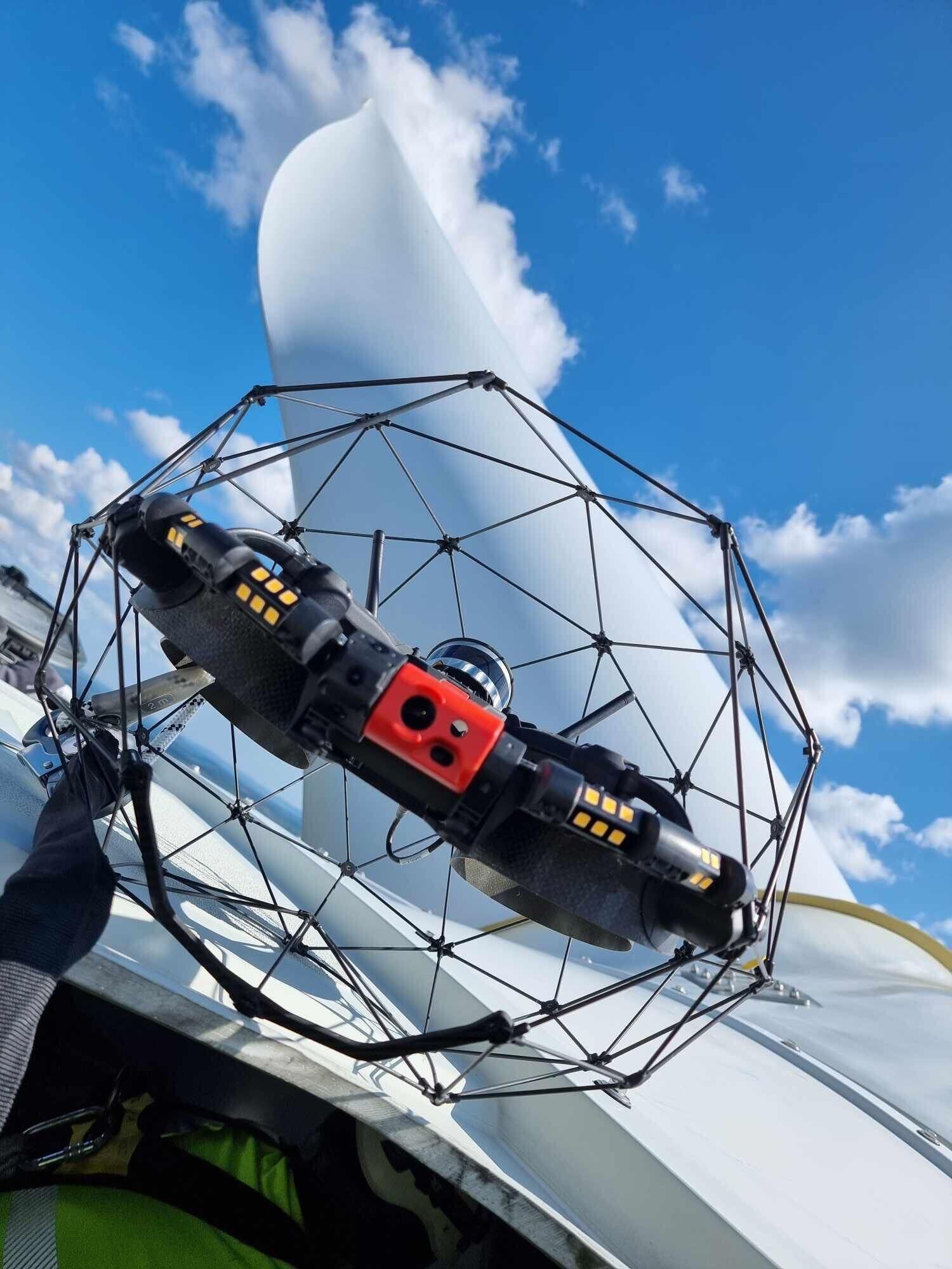
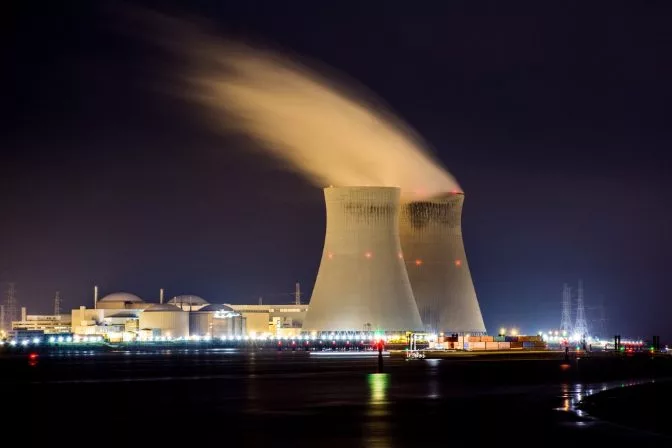
Power Generation
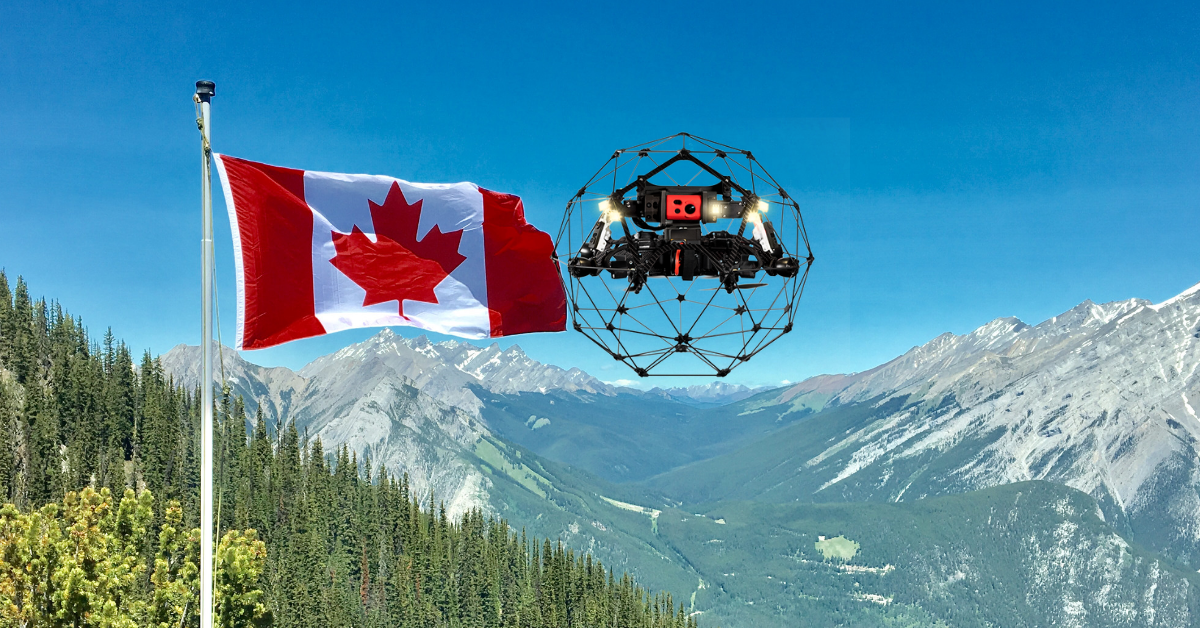
215639931957

Webinar
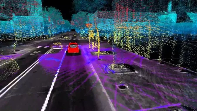
|
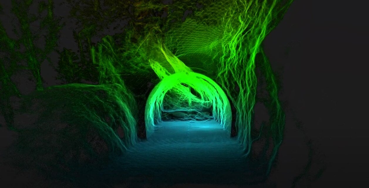
Infrastructure
214724203850

News
|
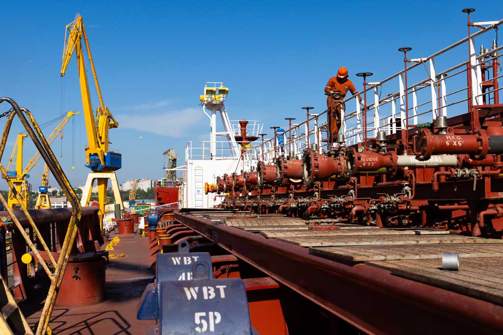
Maritime
|
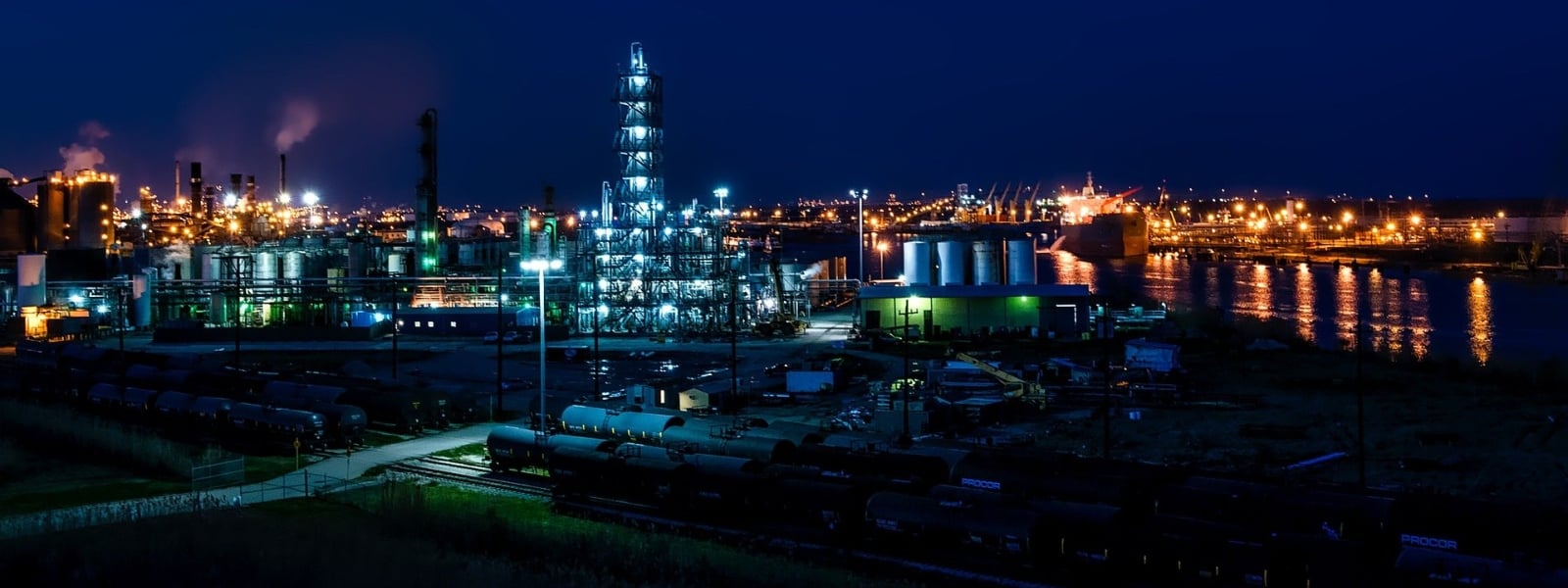
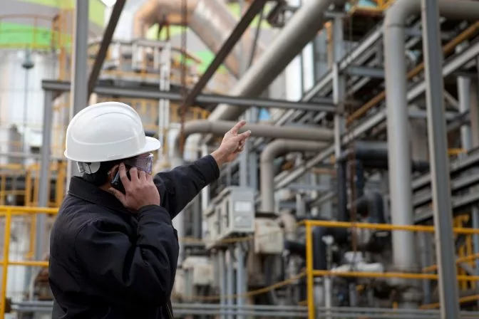
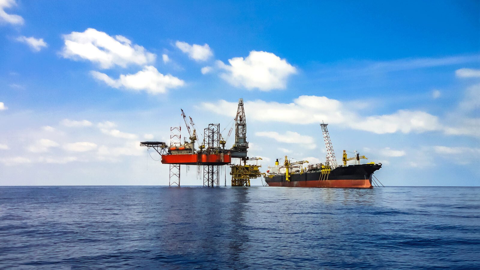
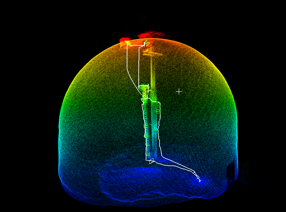
Oil & Gas
213911439136
.jpg)
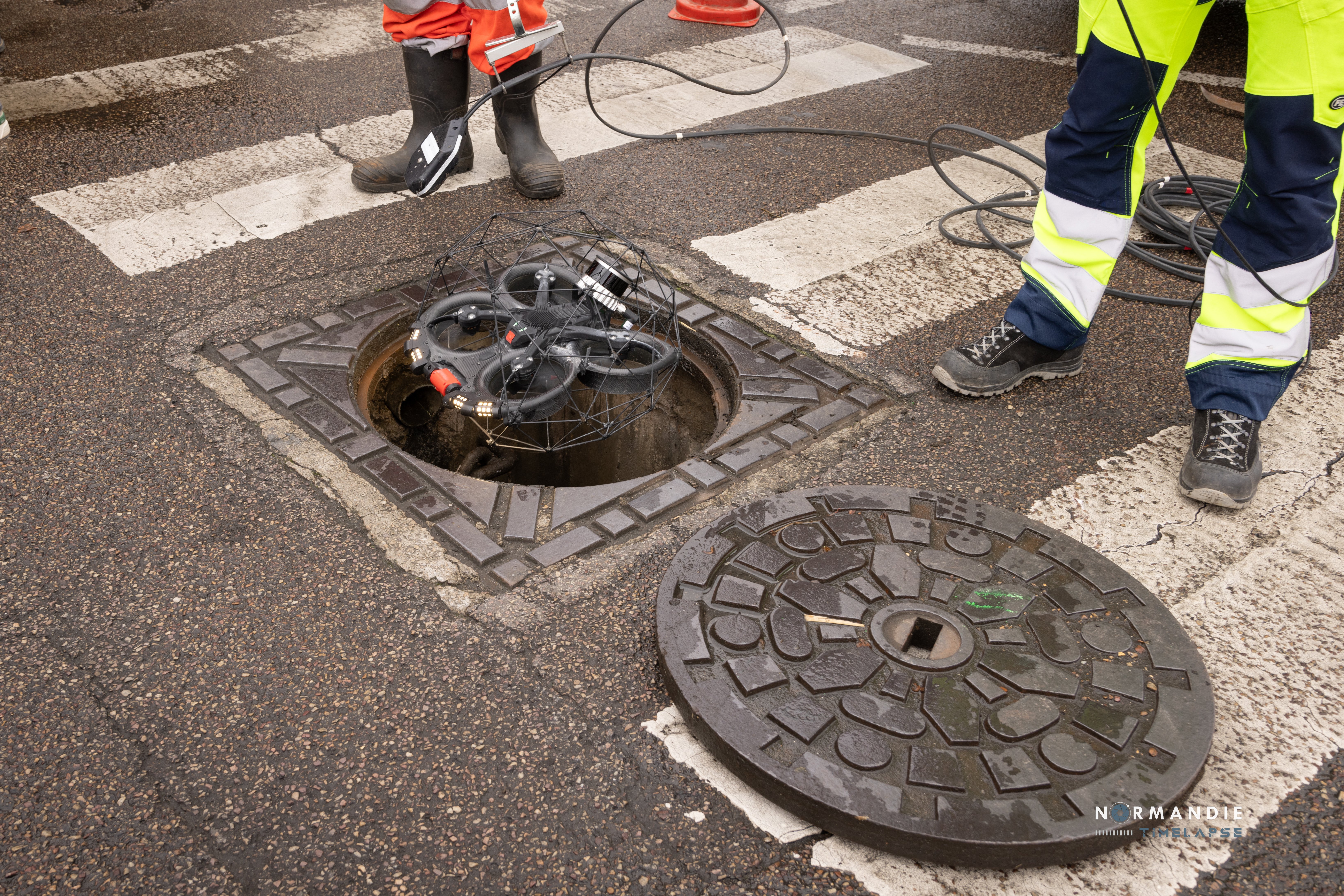
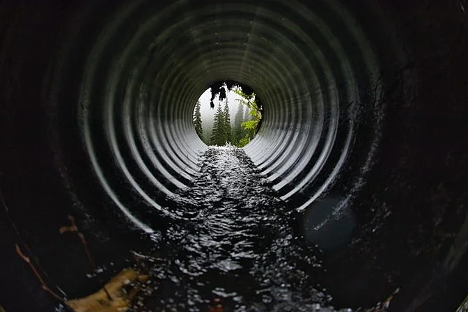
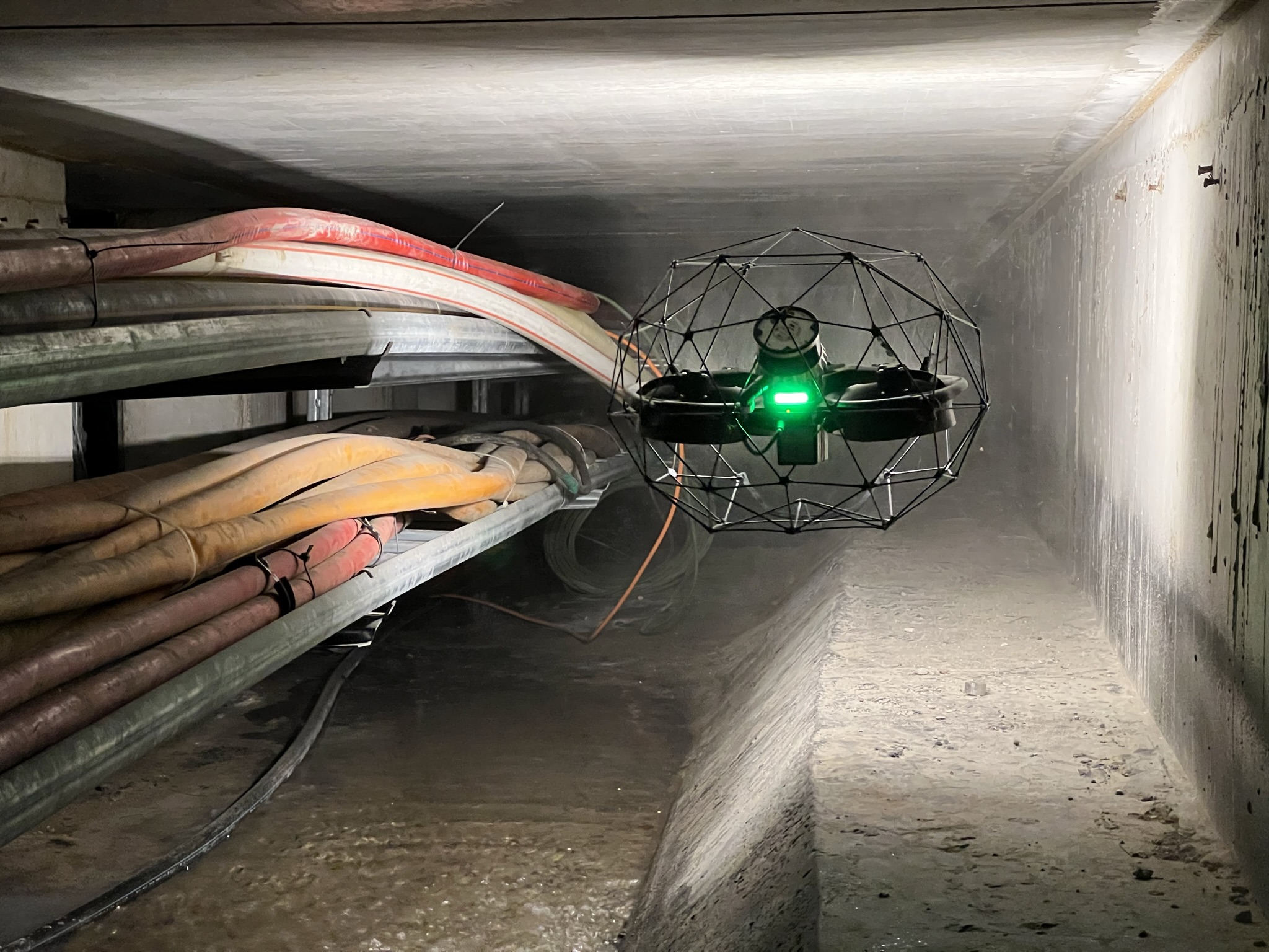
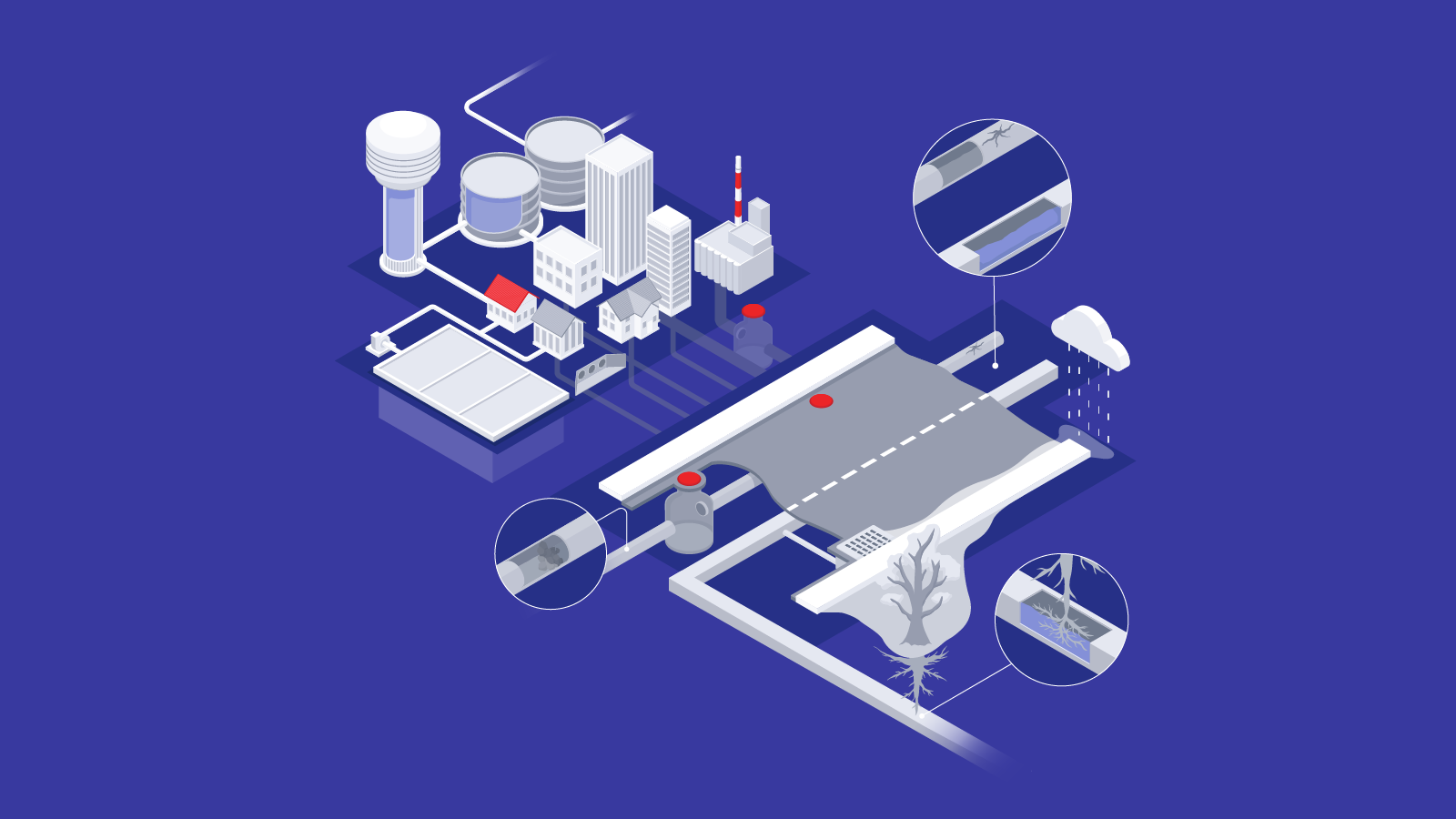
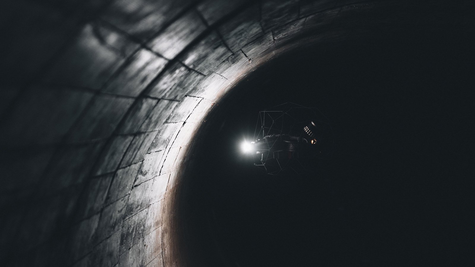
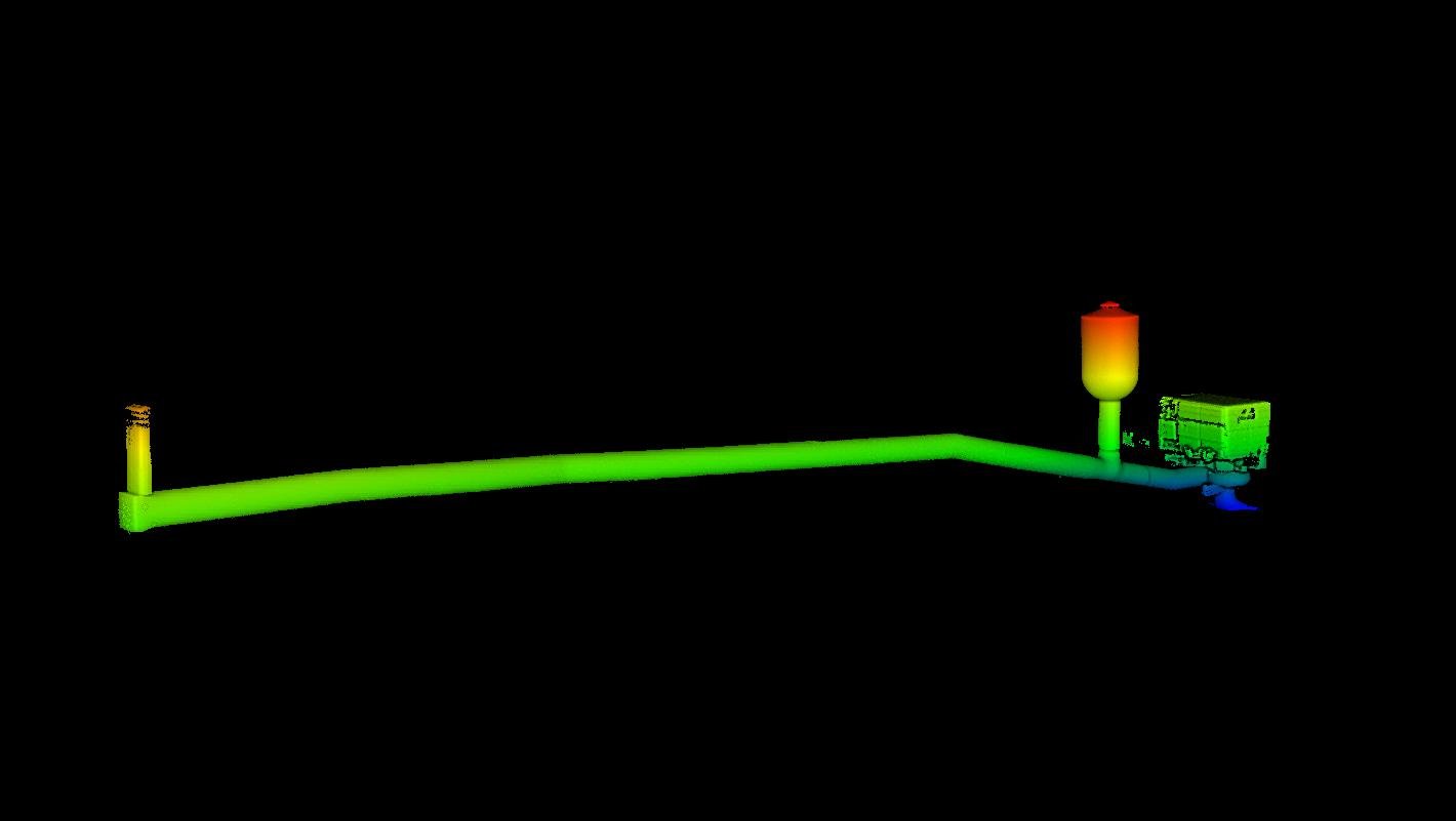
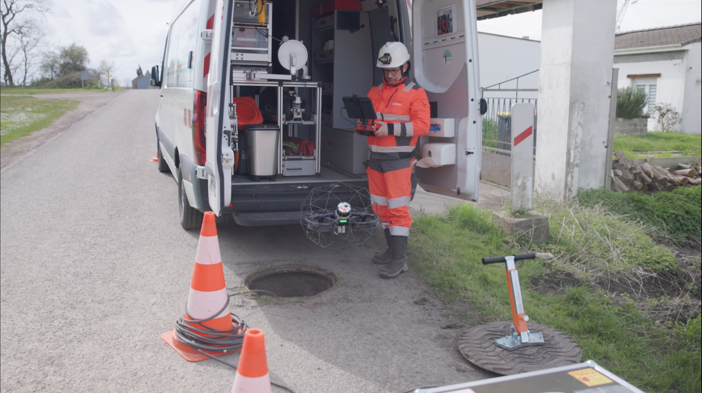
Case studies
|
Sewer
212526505130
White papers
|
Infrastructure
211575145806

White papers
|
Infrastructure
211397428914
Case studies
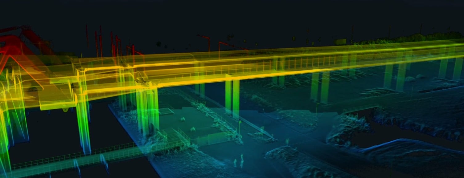
|
Infrastructure
211229420968
News
|
Maritime
210370990989

White papers
210352853361
Blog
209921443338

News
210187301418

News
209510422848

Blog
207946832741

White papers
207848878365

Case studies
|
Sewer
208032673932
Blog
|
Infrastructure
207445138869

News
|
Maritime
206200291122
Case studies
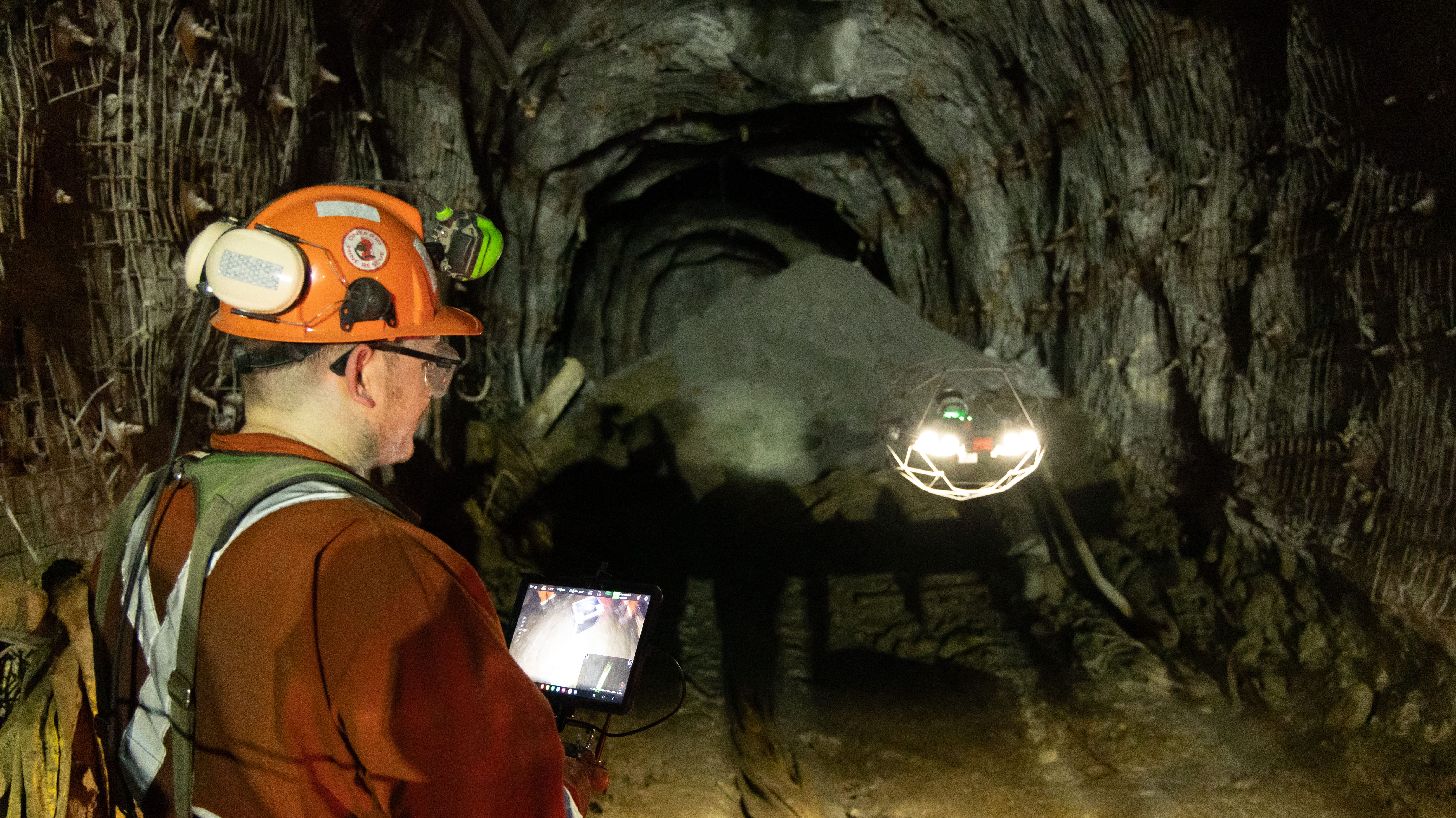
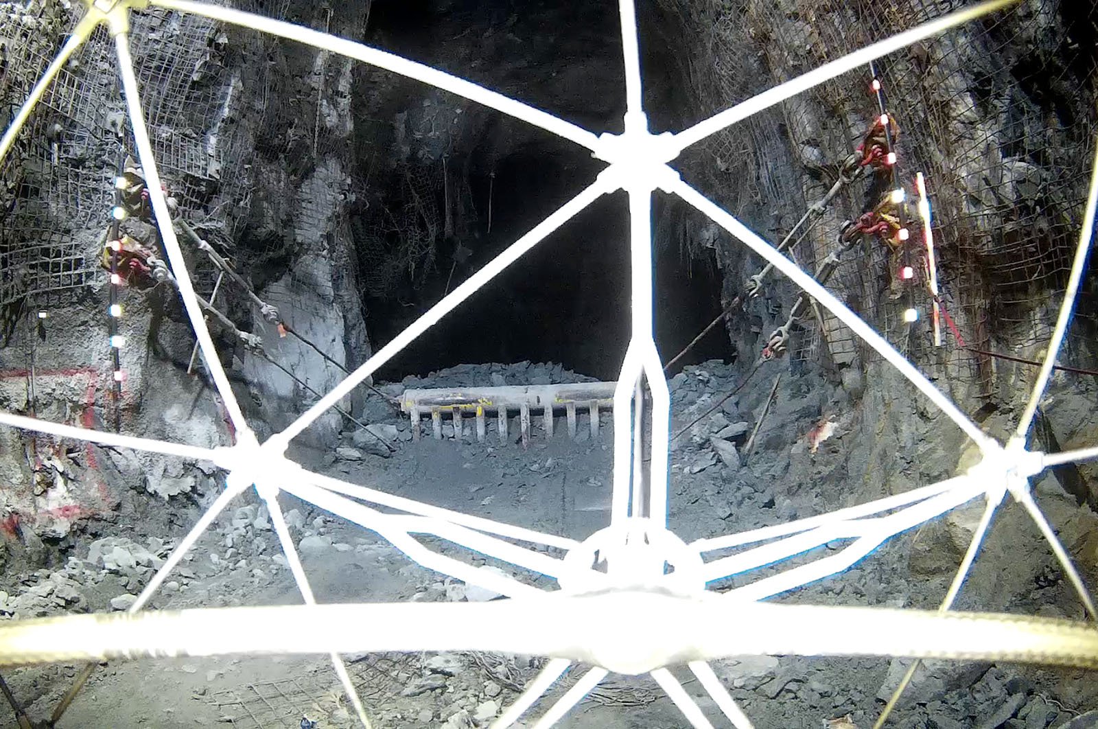
|
Mining
203585154711
-Jan-16-2026-10-59-56-8006-AM.png)
Case studies
|
Maritime
|
Oil & Gas
199902388079
.jpg)
Factsheets
|
Maritime
204229780871

Factsheets
|
Oil & Gas
205365949272
.jpg)
Case studies
|
Infrastructure
203272401011
.png)
Case studies
|
Sewer
202599713641
Blog
202104260145
Case studies
|
Power Generation
201807163781
-1.png)
Blog
|
Maritime
201735712790

Webinar
200078497304
News
|
Infrastructure
200936278284
Blog
|
Maritime
200304598790
News
199719442230
Case studies
|
Infrastructure
199476167513

News
|
Mining
199475310490
News
|
Oil & Gas
198920126373
News
|
Maritime
|
Oil & Gas
196863570522
Case studies
|
Mining
197588999746

News
197527072129

Factsheets
|
Mining
194399695114
Factsheets
|
Mining
194812959840
Factsheets
|
Mining
194812959292
Factsheets
|
Mining
194812959533
Case studies
197371510178
Factsheets
|
Mining
194813330447
Factsheets
|
Mining
194812846257
Factsheets
|
Mining
194812980308
News
|
Maritime
|
Oil & Gas
|
Mining
195106999201

Factsheets
|
Sewer
194809428911

News
|
Infrastructure
195050335881
Factsheets
|
Nuclear
187549200168
Factsheets
|
Power Generation
186969916440
Blog
|
Chemicals
|
Infrastructure
194410465623

White papers
|
Sewer
193238922006

Webinar
194779833881
Case studies
|
Sewer
193715366977

Webinar
|
Mining
192646748966
Case studies
|
Food & Beverage
193189468336
Factsheets
|
Sewer
192771689267
Case studies
|
Mining
192769032195
Factsheets
|
Sewer
192763094552
Case studies
|
Power Generation
192747228479

News
|
Maritime
192510000948
News
|
Mining
191707878750
Blog
|
Power Generation
191709422714
White papers
|
Mining
190956009311
Factsheets
|
Power Generation
186858295829
Case studies
|
Sewer
190355450670
Case studies
|
Infrastructure
190181392672
Factsheets
|
Power Generation
186856049847

Factsheets
|
Power Generation
|
Nuclear
187153919644
Case studies
|
Power Generation
189292963632
Case studies
|
Power Generation
188852414099

Webinar
187880666368
Blog
|
Power Generation
188723047959
News
|
Maritime
188478880636
Factsheets
|
Power Generation
187969593231
Blog
|
Nuclear
187965690895
Blog
187847441260
News
187679764406

Webinar
|
Power Generation
187222447652
Blog
|
Power Generation
|
Nuclear
186336255113
White papers
|
Mining
|
Infrastructure
187493394294

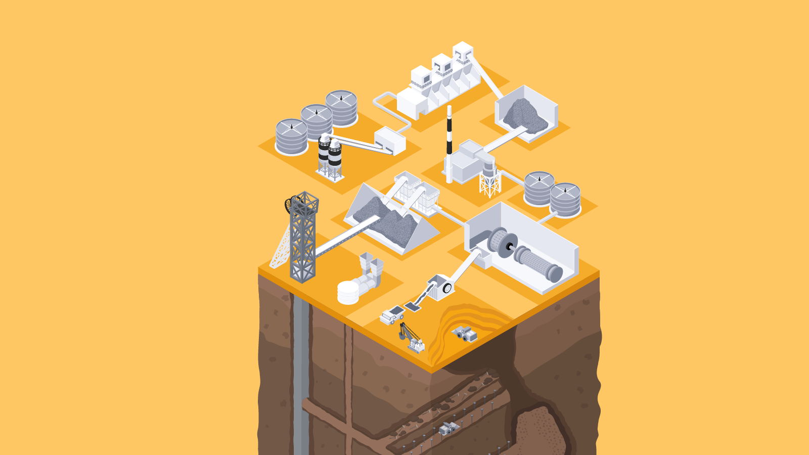
White papers
|
Cement
|
Infrastructure
187491266838
White papers
|
Cement
|
Infrastructure
187486153893
Case studies
|
Mining
187449484869
Blog
187446487868
Blog
|
Power Generation
|
Oil & Gas
|
Mining
187446134570

White papers
|
Mining
|
Cement
187320446109
White papers
|
Mining
|
Cement
187217986636
Case studies
|
Power Generation
187271248737
-3.jpg)
Webinar
|
Power Generation
186327732064
Case studies
|
Maritime
|
Oil & Gas
186347658382
Case studies
|
Power Generation
|
Nuclear
186296854181

Webinar
185452823987

News
|
Maritime
185838361381

News
|
Sewer
185141898377
.png)
Webinar
|
Power Generation
184616941159

Blog
|
Cement
185147094327
Blog
|
Chemicals
|
Oil & Gas
|
Mining
185059614726
Blog
|
Chemicals
|
Oil & Gas
|
Mining
185021452565
Blog
|
Nuclear
184753357166
Case studies
|
Oil & Gas
184567772756

News
183993568616
Blog
|
Chemicals
183852952963
Blog
|
Maritime
183719002486

Blog
183718028401
Webinar
183064690591
News
182015830352
Blog
|
Oil & Gas
181881010280
Blog
181162614023

Webinar
178607361827
News
180491381626

Case studies
|
Nuclear
180501521031

News
178344455975

Webinar
177523186064
News
|
Cement
177403710036

Webinar
|
Infrastructure
174912905880
Case studies
|
Power Generation
|
Oil & Gas
176364570281
Blog
|
Sewer
176009527667
Case studies
|
Mining
175751758009

News
175687229194
Infographics
|
Chemicals
174293528637
Case studies
|
Power Generation
173959040527
Case studies
|
Infrastructure
173843256620
Case studies
|
Infrastructure
173334266236

Blog
|
Mining
172508753466

Webinar
|
Oil & Gas
171466793731
Case studies
|
Infrastructure
145632795500

News
168842103207
Case studies
|
Sewer
168659341371

Blog
|
Maritime
166721864084
Blog
|
Maritime
166721866062
Case studies
|
General
166292775793
Case studies
|
Cement
165825612589
Blog
|
General
164815426930
Blog
|
Nuclear
164802443393

Blog
|
General
164801181304
Blog
|
Power Generation
|
General
164799472751

Blog
|
Infrastructure
164772679838
Blog
|
Chemicals
|
Oil & Gas
164752004924

Blog
|
General
164725112604

Blog
|
Infrastructure
164743513000
Blog
|
General
164721831248
Blog
|
Sewer
|
Maritime
|
Mining
|
General
164719776790
Blog
|
Mining
|
General
164679531636

Blog
|
Maritime
164665726522
Blog
|
Mining
164665724584
Blog
|
Mining
164659176060
Blog
|
Mining
164655517090
Blog
|
General
164611554604
Blog
|
Mining
164584289878
Blog
|
Mining
164584251976
Blog
|
Power Generation
164583719465

Blog
|
General
164493279818
Blog
|
Infrastructure
164471967107
Blog
|
Sewer
164385558606
Blog
|
General
164284081730
Blog
|
Mining
164274299520
Blog
|
Mining
164270786471
Blog
|
Power Generation
|
Oil & Gas
|
General
164254076452

Blog
|
General
164221520296
Blog
|
Power Generation
164159664918
Infographics
|
Oil & Gas
164861269131
Case studies
|
Power Generation
163246809670
News
164007204787
Case studies
|
General
160689626759
Case studies
|
General
163862259590
Infographics
|
Power Generation
161622486043
Case studies
|
Sewer
157241227565

News
160709062288
Infographics
|
Maritime
159537848955

Webinar
|
Oil & Gas
160655216437

Case studies
|
Maritime
158873985867

Blog
|
Power Generation
|
Chemicals
|
Maritime
|
Oil & Gas
158837901938
News
158839311539
Case studies
|
Infrastructure
156557512279
News
156567556386

News
|
Nuclear
156556943377
Case studies
|
Sewer
154883483751
Case studies
|
Mining
154326323980
Case studies
|
Infrastructure
154010151284
Case studies
|
Power Generation
153217186454
Infographics
|
Nuclear
151877055244

Case studies
|
Public Safety
152854151297
Case studies
|
Power Generation
152606600547

Case studies
|
Power Generation
152594999356
Case studies
|
Mining
150814375275
Infographics
|
Mining
148928343816
Infographics
|
Sewer
147600255844
Blog
|
Sewer
|
Mining
|
General
147423405988
Case studies
|
Power Generation
147553752151
Case studies
|
Mining
146815429187
Case studies
|
Cement
146466826811
Case studies
|
Power Generation
|
Nuclear
145290841353

Blog
|
General
144944468656
Case studies
|
Maritime
144058337121
Blog
|
Mining
|
General
143595028225

Case studies
|
Maritime
142671208983

Webinar
|
Mining
100011716008

Webinar
|
Cement
142276091564

Webinar
|
Cement
143712670045
News
|
Cement
139845917464

News
139320716047
Blog
|
Sewer
|
Oil & Gas
|
Mining
|
Cement
139324176498
Webinar
|
Power Generation
134533606488
Case studies
|
Infrastructure
136096724512

News
135748434598
Case studies
|
Nuclear
133210084904
Case studies
|
Cement
130581808237
Case studies
|
Infrastructure
130436053279

Blog
|
Nuclear
129955306805
Case studies
|
Mining
125072056375
Case studies
|
Mining
124157182340
Case studies
|
Sewer
123756979336

News
121383573800

Webinar
|
Oil & Gas
118083418243
Case studies
|
Oil & Gas
116558412724

Case studies
|
Nuclear
115168022934

News
|
Nuclear
115599057758

News
75632560746

News
|
Nuclear
104316492821
Webinar
99923751195
News
|
Nuclear
99023789955
Case studies
|
Nuclear
99056168704
Case studies
95471025309
Webinar
79839535243
Case studies
|
Cement
86441577065
News
83339585415
Case studies
|
Mining
83333686068
Case studies
|
Mining
72501121816
Case studies
|
Nuclear
72503766622
Case studies
|
Cement
82147951626

Case studies
|
Mining
72526459443
Webinar
79615074948

News
78452306871
Case studies
|
Sewer
72486101850

News
73247140370
News
66810345269
Case studies
|
Maritime
65866322606

News
65673411697
News
|
Sewer
64331569520

News
64683876253

News
60874884905

News
60270151093
Webinar
|
Power Generation
57047516306
Case studies
|
Mining
57531353177

News
56556341573

News
56548307476

News
56554918165

News
|
Mining
56282237259

News
56549652566

News
56554918229
Case studies
|
Maritime
49959985240

News
50191452949

News
48918245037

News
48547671060

News
47845406096
News
47937151090
Case studies
|
Pharmaceuticals
46457055268
Webinar
41019254495
Case studies
|
Sewer
44997426538
News
44228219997
Webinar
41020798670

Webinar
41020798669
Case studies
|
Public Safety
43598557721
Webinar
41019254489
Webinar
41020798668

News
41800213112

Webinar
41020798667

News
41030845033

News
38908397637
Webinar
38266946266
Webinar
38461011305

Webinar
37617369207
News
|
Nuclear
37373600133
Webinar
36301190647
Case studies
|
Power Generation
36162191521
Webinar
36415259434
/featured-diesel-tank-inspection.jpg)
Webinar
35497800636
News
36005513535

News
34804507272

Webinar
34303338813
Case studies
|
Food & Beverage
33505264514
Webinar
30895349173
Webinar
|
Oil & Gas
30443935200
News
29800365561
Webinar
28955109988
Webinar
29080481357
Webinar
|
Power Generation
28944780058
Webinar
28565486335
Webinar
|
Oil & Gas
28419143347
Webinar
28178284817
Webinar
28168774149

Webinar
28168774117
Webinar
28168774116

Webinar
28203529759

News
28048715641
Webinar
28168774118
News
27834392566
Case studies
|
Power Generation
24381357273

News
25557624559
News
25107608640
News
24325262121

News
24082517296

News
19745314693
News
12156684241

News
12558958518
News
11736852117

News
|
Cement
11091771877

News
9255644518

News
9205409640

News
8903724994
Case studies
|
Infrastructure
8352842433
News
8129699149
News
7951625384
Case studies
|
Public Safety
6842075110

News
7124354791

Case studies
|
Public Safety
6823772291
Case studies
|
Maritime
6629570251

News
6534686408

News
6461291019

News
6439070487
News
6338919372

News
6276353754

Case studies
|
Sewer
6103334755
News
|
Food & Beverage
5947952137

Case studies
|
Food & Beverage
5945106275

News
5917884056

News
5791651551

News
5781954782

News
5747995889

News
5707669524

News
5656802256

News
5647423146
News
5626108243
News
5622169424
News
5554570453
Case studies
|
Infrastructure
5531676195
Case studies
|
Mining
5531400207
Case studies
|
Infrastructure
5531390572
Case studies
|
Maritime
5531385620
News
5531101562
News
|
Maritime
5531092475
News
5531085326
News
5531308817
News
5531079998

News
5531075390

News
5531068005
News
5531045743
.jpg)
News
5531048762
News
5531273942
News
5531259655

News
5531257375
News
5531243823

News
5531009715
News
|
Oil & Gas
5530992614
News
5531239048

News
5530988587
News
5530985622
News
5531211265