Discover the benefits of using drone inspections for your transport structure management
From inspecting train stations to tunnels, ventilation shafts to metro systems, it’s time to bring in drones. No confined space work, no rope access, and no downtime. Modernizing your infrastructure starts with just a 10 minute drone flight.
More inspections
Work at height or in confined spaces
Cost reduction
Safer, faster, and more efficient inspections reduce your operational costs.
More inspections
Work at height or in confined spaces
Cost reduction
Safer, faster, and more efficient inspections reduce your operational costs.
Discover how drones inspect transport infrastructure
Your transport inspection package
Select the right solution for your most complex infrastructure management
Elios 3
Remote access, rugged design, and multiple types of data collection - the Elios 3 is your ultimate inspection tool. Fly inside confined spaces without GPS or a visual line of sight while you combine 4K videos with LiDAR point clouds to simultaneously map and capture points of interest in your inspection area. Keep your team safe with remote access with a drone designed for extremes.
The Surveying Payload
For when accuracy is the priority, deploy the Surveying Payload. This powerful surveying tool uses a centimeter-accurate LiDAR sensor by Ouster paired with custom software for treating point clouds to deliver a million points per second and results you can trust. Check your point cloud while you fly to guarantee full data coverage, then process and export your results to partner software or Scan to BIM systems.
Elios 3
Remote access, rugged design, and multiple types of data collection - the Elios 3 is your ultimate inspection tool. Fly inside confined spaces without GPS or a visual line of sight while you combine 4K videos with LiDAR point clouds to simultaneously map and capture points of interest in your inspection area. Keep your team safe with remote access with a drone designed for extremes.
The Surveying Payload
For when accuracy is the priority, deploy the Surveying Payload. This powerful surveying tool uses a centimeter-accurate LiDAR sensor by Ouster paired with custom software for treating point clouds to deliver a million points per second and results you can trust. Check your point cloud while you fly to guarantee full data coverage, then process and export your results to partner software or Scan to BIM systems.
The UTM Payload
Deploy the Elios 3 with the UT payload for when you need to move beyond visual inspections and into non-destructive testing. Remotely capture thickness measurements, assessing the condition of metallic structures from a safe distance. Cut hours of erecting scaffolding and time spent closing off platforms- remotely capture hundreds of measurement points without ever leaving the ground.
Inspector
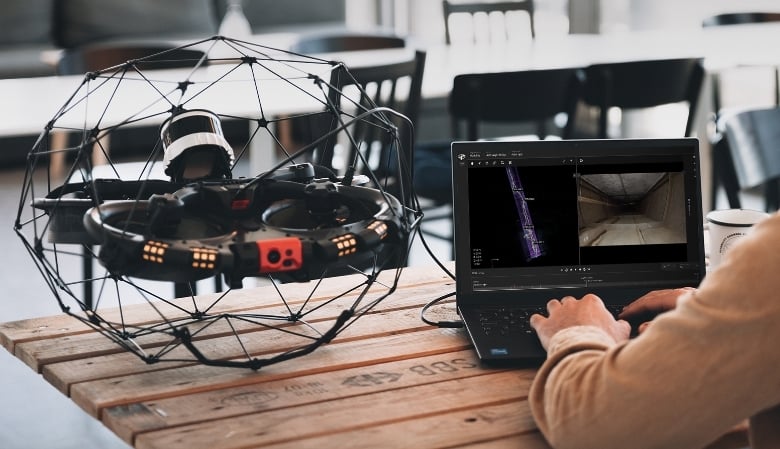
Our software platform offers you desktop or online processing and sharing options, giving you full control of your data. Compare 4K videos side-by-side with the LiDAR point clouds, localizing defects and points of interest for easy analysis and communication with maintenance teams. Export your findings in custom reports that are easy to follow and match industry standards.
The UTM Payload
Deploy the Elios 3 with the UT payload for when you need to move beyond visual inspections and into non-destructive testing. Remotely capture thickness measurements, assessing the condition of metallic structures from a safe distance. Cut hours of erecting scaffolding and time spent closing off platforms- remotely capture hundreds of measurement points without ever leaving the ground.
Inspector
Our software platform offers you desktop or online processing and sharing options, giving you full control of your data. Compare 4K videos side-by-side with the LiDAR point clouds, localizing defects and points of interest for easy analysis and communication with maintenance teams. Export your findings in custom reports that are easy to follow and match industry standards.

The Elios 3 for Transport Management
Case Study
Eliminating downtime for station roof inspections
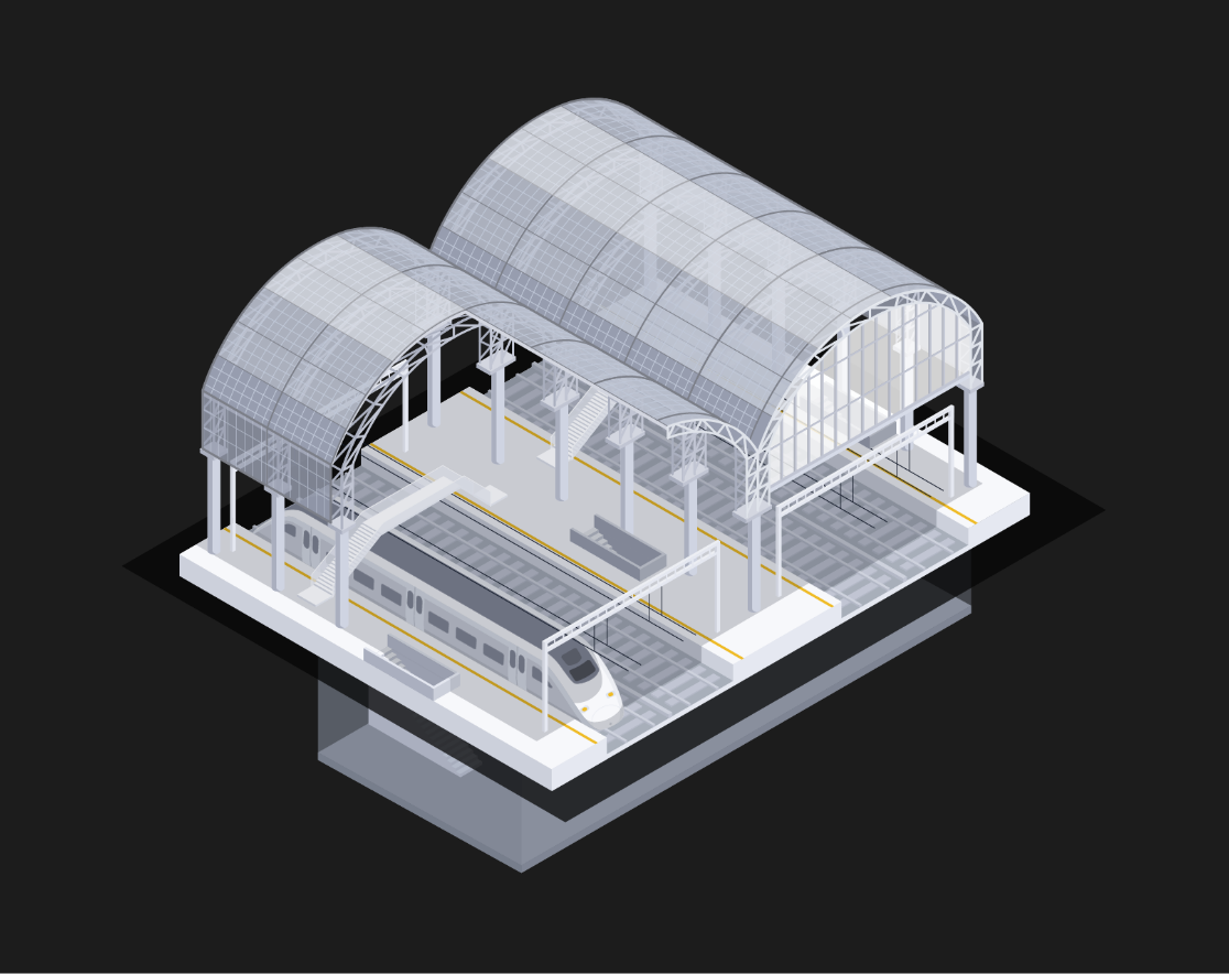
NS Stations, the national rail agency in the Netherlands, explain how they deploy the Elios drones to remotely inspect train station roofs without disrupting rail traffic or any work at height.
Read MoreCase Study

Mapping a tunnel collapse after a landslide
When a landslide destroyed a road tunnel in the Swiss Alps, there was no safe way to assess the damage. Local authorities deployed the Elios 3 and its Surveying Payload to gather critical data to plan how they could respond to this emergency.
THE FULL STORYCase Study

Bridge Inspections - Inside and Out
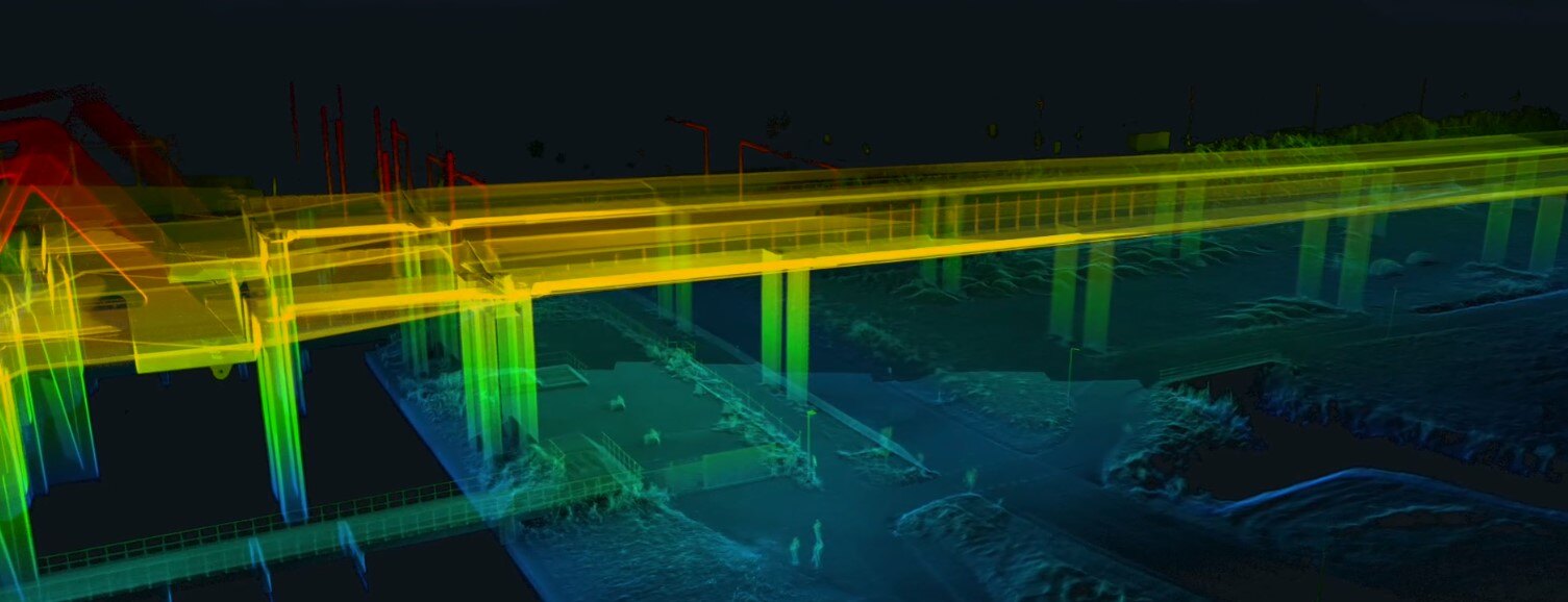
An overwater railbridge in Australia was proving a challenge to inspect - until Azure Integrity decided to deploy the Elios 3. Surveying the exterior structure as well as flying inside the steel girder, they gathered all of the necessary data without having to work at height or enter confined spaces.
HOW IT HAPPENEDCase Study

Eliminating downtime for station roof inspections
NS Stations, the national rail agency in the Netherlands, explain how they deploy the Elios drones to remotely inspect train station roofs without disrupting rail traffic or any work at height.
Read MoreCase Study
Mapping a tunnel collapse after a landslide
When a landslide destroyed a road tunnel in the Swiss Alps, there was no safe way to assess the damage. Local authorities deployed the Elios 3 and its Surveying Payload to gather critical data to plan how they could respond to this emergency.
THE FULL STORYCase Study
Bridge Inspections - Inside and Out
An overwater railbridge in Australia was proving a challenge to inspect - until Azure Integrity decided to deploy the Elios 3. Surveying the exterior structure as well as flying inside the steel girder, they gathered all of the necessary data without having to work at height or enter confined spaces.
HOW IT HAPPENEDThe Technology at Work
Mapping The Lyon-Turin Train Tunnel
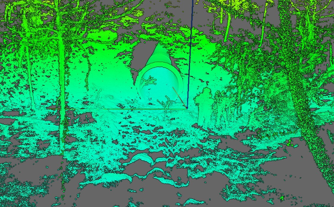
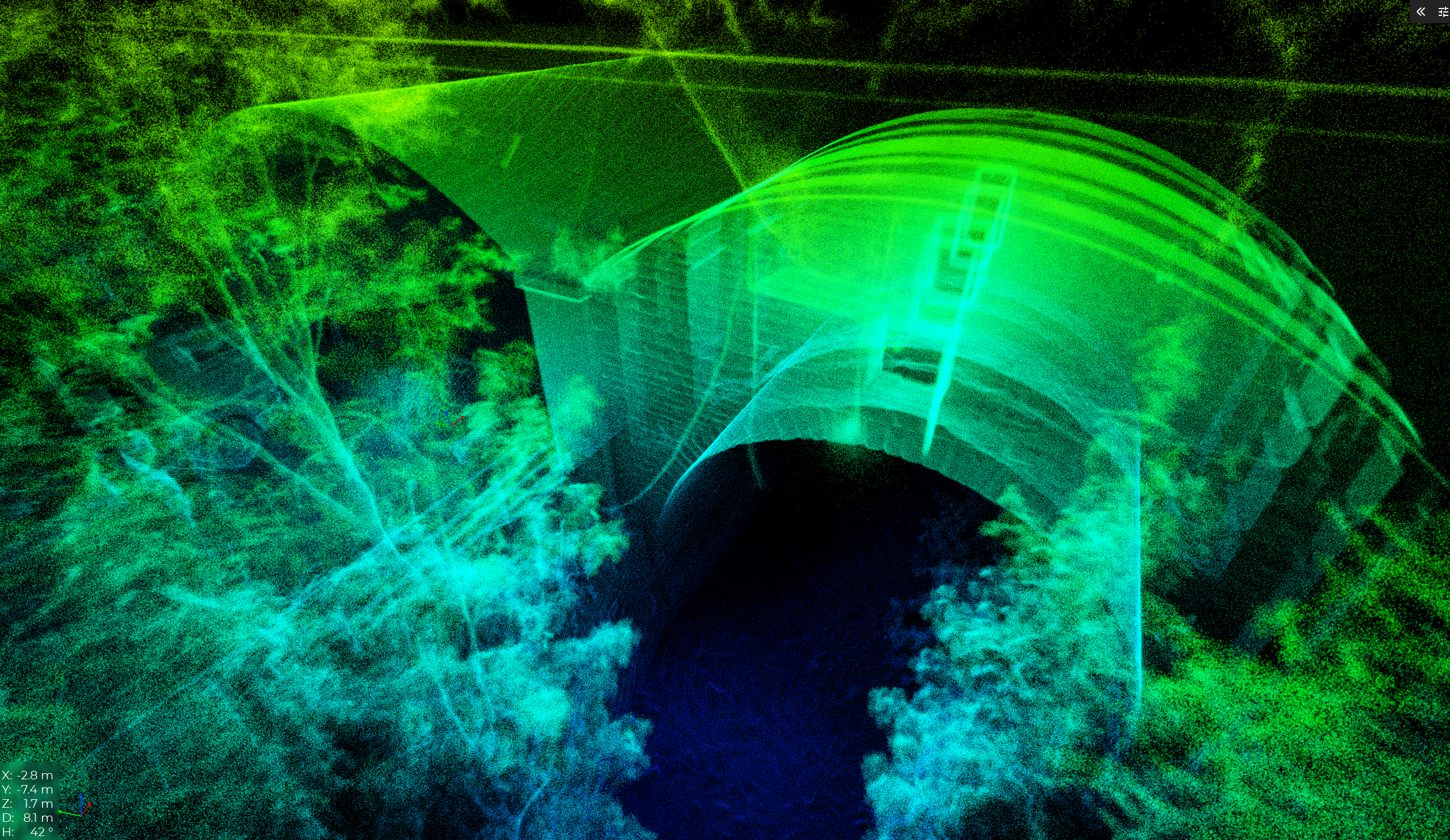
The TELT is a 57km tunnel linking France and Italy, and challenging the construction teams behind it to deliver the very best results for this international project. As part of their surveying and mapping workflows, the team has deployed the Elios 3 to capture data in special ventilation shafts, taking advantage of remote access to safely gather critical information ahead of decision-making.
Bring drones to your transport networks
The Elios 3 is ready to eliminate confined space entry and work at height, boosting the efficiency of your inspections and revolutionizing your safety standards. Talk to our team to see it for yourself.
The Elios 3, thanks to providing remote access, eliminating work at height, and reducing operational costs and inspection times, is used to inspect tunnels, buildings, and bridges amongst other critical elements in transport infrastructure.
The Elios 3 is specially designed to fly without a GPS connection, making it perfect for flying in subway tunnels, mines, and sewers.
The Elios 3 has a surveying payload for detailed LiDAR point clouds, alongside an ultrasonic thickness gauge for UT measurements. In addition, it can be equipped with a flammable gas detector or a radiation detection payload.
Depending on the power configuration you select, you can go for battery-powered flights of over 12 minutes or unlimited flight time with the Tethered Power Unit.
The Elios 3’s rugged design means it is ideal for use in emergency response and reconnaissance scenarios where human safety is on the line and critical data must be gathered. The Elios 3 was famously used to inspect a collapsed road tunnel in the Swiss Alps in 2024.
The Elios 3 has a custom flight pattern called Autonomous Scanning which will automatically capture visual data on a planar surface selected by the pilot in a style that is optimized for photogrammetry. This feature, called AutoScan, was released in 2026 as part of Flyability’s pioneering drone autonomy workflows.
The Elios 3 is used by transport operators, departments of transport, and service providers around the world. This includes the Massachussetts Bay Transport Authority, the Maryland Department of Transport State Highway Authority, and Gedeon GRC Consulting, to name a few.
The Elios 3’s autonomy toolkit is rapidly growing. Features include “Repeat Inspection” where the drone will automatically repeat a flight days, weeks, or months apart; “Smart Return-to-Home”, where the Elios 3 will select its own path to fly back to the return point based on analyzing its surroundings, and now, “AutoScan”, a photogrammetry-focused data capture setting that automatically guides the drone to collect photogrammetry-ready datasets for planar surfaces. More information about the Elios 3’s autonomy features is available on the Flyability website.
The Elios 3 captures 4K videos as well as centimeter-accurate LiDAR scans. As a result, you can view a 3D model of the asset, building, or tunnel you’ve inspected and view the points of interest where you took photos. This allows you to see defects in detail along with the context of where they are, streamlining maintenance planning.
The Elios 3’s partner software, Inspector, is free for Flyability customers to use with an optional add-on for the Inspector Online version. Various additional features are available for Premium Software users. Talk to the Flyability team to learn more.
The Elios 3, thanks to providing remote access, eliminating work at height, and reducing operational costs and inspection times, is used to inspect tunnels, buildings, and bridges amongst other critical elements in transport infrastructure.
The Elios 3 is specially designed to fly without a GPS connection, making it perfect for flying in subway tunnels, mines, and sewers.
The Elios 3 has a surveying payload for detailed LiDAR point clouds, alongside an ultrasonic thickness gauge for UT measurements. In addition, it can be equipped with a flammable gas detector or a radiation detection payload.
Depending on the power configuration you select, you can go for battery-powered flights of over 12 minutes or unlimited flight time with the Tethered Power Unit.
The Elios 3’s rugged design means it is ideal for use in emergency response and reconnaissance scenarios where human safety is on the line and critical data must be gathered. The Elios 3 was famously used to inspect a collapsed road tunnel in the Swiss Alps in 2024.
The Elios 3 has a custom flight pattern called Autonomous Scanning which will automatically capture visual data on a planar surface selected by the pilot in a style that is optimized for photogrammetry. This feature, called AutoScan, was released in 2026 as part of Flyability’s pioneering drone autonomy workflows.
The Elios 3 is used by transport operators, departments of transport, and service providers around the world. This includes the Massachussetts Bay Transport Authority, the Maryland Department of Transport State Highway Authority, and Gedeon GRC Consulting, to name a few.
The Elios 3’s autonomy toolkit is rapidly growing. Features include “Repeat Inspection” where the drone will automatically repeat a flight days, weeks, or months apart; “Smart Return-to-Home”, where the Elios 3 will select its own path to fly back to the return point based on analyzing its surroundings, and now, “AutoScan”, a photogrammetry-focused data capture setting that automatically guides the drone to collect photogrammetry-ready datasets for planar surfaces. More information about the Elios 3’s autonomy features is available on the Flyability website.
The Elios 3 captures 4K videos as well as centimeter-accurate LiDAR scans. As a result, you can view a 3D model of the asset, building, or tunnel you’ve inspected and view the points of interest where you took photos. This allows you to see defects in detail along with the context of where they are, streamlining maintenance planning.
The Elios 3’s partner software, Inspector, is free for Flyability customers to use with an optional add-on for the Inspector Online version. Various additional features are available for Premium Software users. Talk to the Flyability team to learn more.