Oil & Gas

 Maritime

 Power Gen

 Chemicals

 Mining

 Sewers

 Cement

 Nuclear

 Infrastructure

 Transportation


 EN
Karst Cave Surveys Along an Expressway with the Elios 3
When a construction project for the Nanning Expressway needed to survey nearby karst caves to ensure they wouldn’t disrupt the road, they needed a remote surveying tool that would keep their team safe. Read on to see why they chose the Elios 3.
Benefits In A Nutshell
|
Access With the karst caves being too narrow and unknown for human access and traditional surveying tools, the Elios 3 was the only solution capable of gathering the necessary data. |
Speed The Elios 3 conducted quick, efficient flights, using a combination of pilot expertise and automated Smart Return-to-Home to work faster. The survey was completed in days rather than weeks. |
|
Safety Karst caves feature many hazards, including confined spaces, standing water, and limited rescue options. Using the Elios 3 kept people out of harm's way during the survey. |
Data Quality The Elios 3 data was connected to a surface-level topographic model to create a single resource used by multiple teams to plan the next steps for the project. |
China’s motorway system is one of the largest in the world, spanning 1.9 million kilometers of road. Around the city of Nanning in Guangxi province, a new expressway is under construction. However, the project team is running into an unusual challenge: the karst landscape around the expressway.
Karst landscapes - a category of geological terrain - feature epic mountains and cliff-like shapes, but can hide huge caverns, sinkholes, or aquifers under the ground. Often, these underground environments form without any sign on the surface. While the Nanning Expressway was being built, the team noticed nearby karst cave entrances. Experts were called in to assess the caves and determine the risk they posed to the construction project.
The Challenges of Surveying Karst Caves
Karst caves are unpredictable and form relatively quickly compared to other topography types. For the highway project to go ahead, the team needed to understand the scale, morphology, and distribution of the underground spaces nearby.
Traditional surveying methods cannot be easily used in karst caves. Not only are the caves confined and narrow, making it hard for people to fit, but there are also risks of falling rocks and stalactites. Because karst landscapes are porous, caves can be filled with standing water, feature slippery surfaces, and have poor air circulation. Altogether, it’s a highly dangerous environment, where access as well as rescue are extremely difficult. A famous example would be the Thailand Cave Rescue in 2018, where members of a football team were trapped inside a limestone karst cave system.
With traditional surveying methods confined to the entrance of the cave, the highway team needed a new method of gaining access. They turned to the Elios 3 drone.
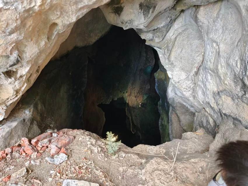
The entry to the karst cave system is narrow and filled with water, unknown hazards, and unstable rock surfaces.
Deploying the Elios 3 for Unknown Cave Surveys
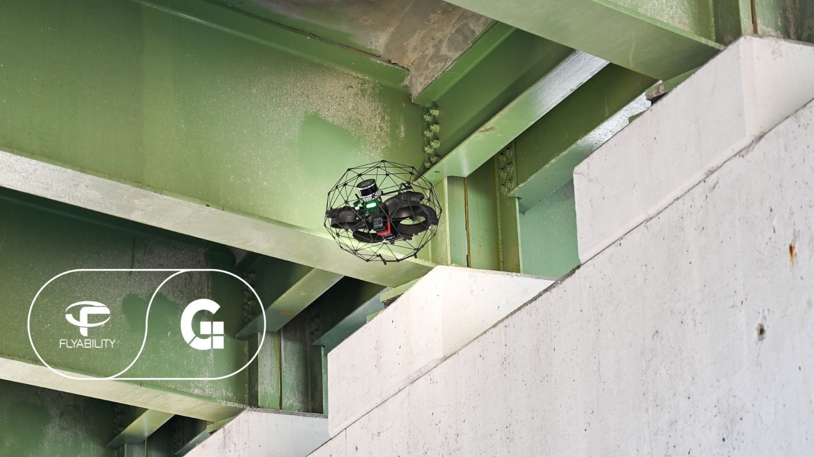
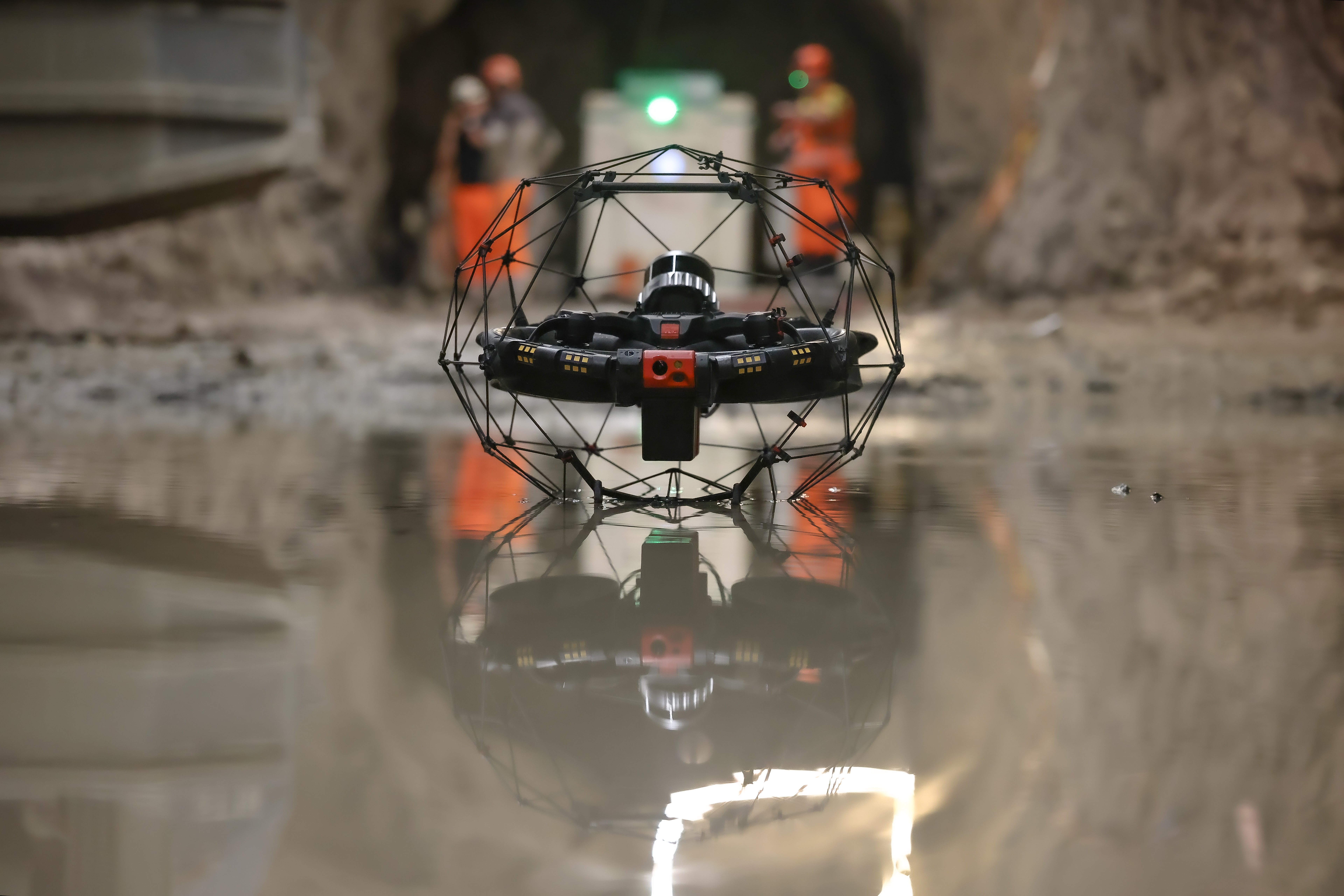
The Elios 3 is the leading confined space inspection drone, capable of completing centimeter-accurate surveys and visual inspections in dark, GPS-denied environments. In the context of this karst cave mission, it was the only viable option due to its unique capabilities:
- Remote Access → The Elios 3 delivers remote access to the most challenging environments. With a 4K camera and centimeter-accurate LiDAR payload, it can collect multiple types of data without anyone having to set foot inside a dangerous environment.
- Rugged Design → The Elios 3 doesn’t behave like conventional drones. Not only can it operate without a GPS signal, but it sits inside a protective, collision-tolerant cage that allows the drone to bump into its surroundings without damaging propellers. In addition, custom firmware embedded in the drone’s framework allows it to recognize and recover from impact without falling. This is ideal for surveying operations beyond the visual line of sight.
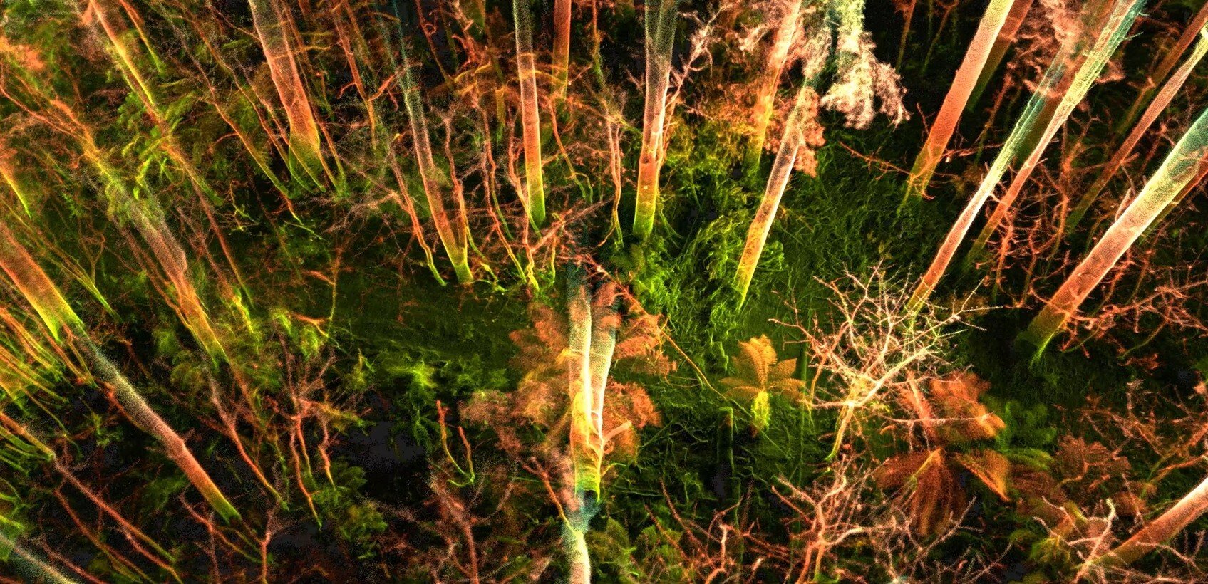
- Quality of Results → The Elios 3 is more than a flying camera. The drone can deliver 4K videos, a georeferenced point cloud, and thermal imagery. All of this data can be used to inspect, assess, and map the morphology of underground spaces. In addition, the Elios 3 can capture data in a fraction of the time that traditional surveyors would need in this environment.
Deploying the Elios 3 for this project empowers construction teams and geologists to assess the size and scale of the karst caves without exposing team members to danger.
One project team member had this to say about using the Elios 3: “Its greatest value lies in taking our eyes and measuring tapes to places humans cannot reach”.
After the Elios 3 had been selected as the only possible answer to the challenges of this project, the team got to work setting up a mapping mission with the drone.
Surveying Karst Caves with an Autonomous Drone
The Elios 3 was brought to the cave entrances with the aim of gathering LiDAR and 4K data. After initial safety checks, the drone took off and was flown into each cavern, with the pilot standing safely outside and monitoring the drone’s progress via the video feed and live point cloud.
Despite the challenging nature of flying through unknown caves, the pilot did not need to worry about getting lost. When it was time to fly back, they used the drone’s autonomous Smart Return-to-Home feature. Once Smart Return-to-Home is triggered, the Elios 3 uses the built-in map it records as it flies to select the fastest route back to the home point set by the pilot. To ensure a smooth flight, the drone determines the battery level it needs and informs the pilot when it is time to deploy Smart Return-to-Home. This is ideal for flying in unfamiliar or challenging environments, and reduces the burden on the pilot so they can focus on the inspection rather than managing battery life.
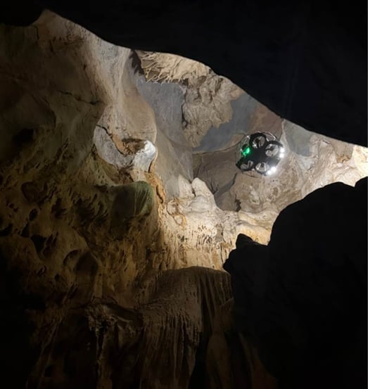
The surveying team could stay near the cave entrance or even outside of it while deploying the Elios 3 for exploration
Successful Cave Survey with the Elios 3
After the mission, the team reviewed the point cloud and videos captured by the drone. This data was processed alongside surface-level surveys before being merged, creating a single resource that showed the interior and exterior of the mountain.
The 4K video footage and images captured at points of interest were used to search for traces of seepage, the development of fissures and deposits, as well as to check for cave-dwelling animals.
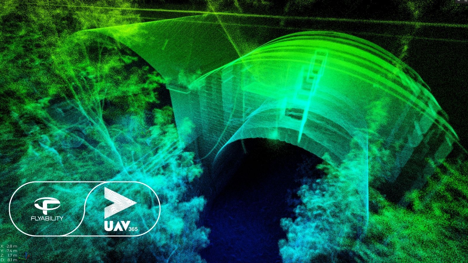
The external topographical data was combined with the Elios 3 data in a single coordinate system, delivering a comprehensive spatial data system. This was shared with other teams so they could take measurements and complete their own assessments, determining if it would be safe to continue with construction or if the project needed to adjust for potential hazards from the karst subterranean environment.
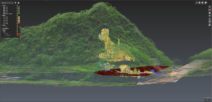
The Elios 3's 3D model was mapped onto an external topographic model to compare the surface and underground cave system in one place
The Next Steps
This mission successfully delivered 3D models, high-definition imagery, as well as spatial dimension data of cave interiors. The enhanced efficiency of using the drone reduced the non-productive operation time, boosting the overall project efficacy. The Elios 3 immediately resolved survey challenges that were otherwise insurmountable and provided a safe, reliable, and technically sound approach. The highway construction project has been able to resume with minimal disruption thanks to the efforts of the surveying team and the Elios 3.
The Elios 3 has other proven use cases in both construction and mining projects - discover more on our resources page!